Paddle Florida®
Over 100 Florida Paddling Destinations
E-Z Maps... Photos... Reports...
You are here > Home >
North Florida >
Suwannee River >
Suwannee River-Upper
Latest update: November 2019
Upper Suwannee River... GA and FL
Kayaking Report... plus Photos from 9 Launches (in sequence)
If you enjoy paddling in wild and remote areas with no road noise, this is it. The only town along this entire Upper River Region is Fargo, GA (pop. 317). Exactly where the Suwannee River begins is open to interpretation, but the highest designated launch is at mile "242" in the Okefenokee National Wildlife Refuge. The Upper Region can be difficult in parts, to include exiting the Okefenokee NWR through the "Narrows," portaging over the sill (earthen dam), then shallow water and downfall between the sill and Fargo, and then rapids at Big Shoals and Little Shoals, beginning below mile "177" in FL. Each year, a few folks paddle (and portage) the entire Upper Region straight through. This is beyond the ambitions of most recreational kayakers, but we suggest some out-and-back paddling options (at mile 242 and mile 186.5). See River views in-sequence from 9 public launches. (Map and photos below.)
Location-Upper: Clinch County GA and Hamilton County FL
Difficulty Easy to Difficult (water levels key)
Tidal: No
Launch points: In Georgia (4): Stephen Foster State Park, the Sill, Griffis Park, and Fargo.
In Florida (5): Roline, Turner, Cone Bridge, CR 6, and Big Shoals State Park (See map)
Nearby points of interest: Stephen C. Foster State Park (GA), Big Shoals State Park (FL)
Rentals/Outfitters/Tours:
American Canoe Adventures (White Springs, FL; rentals, tours, shuttle, kayak dealer)
Support and Advocacy:
Page Summary:
- Upper Suwannee River - 4 Launches in
Georgia
- Paddling at Stephen C. Foster State Park (mile 242)
- Launches from Stephen C. Foster State Park (mile 242) to Fargo Boat Ramp (mile 221) - Upper Suwannee River - 5 Launches in Florida
- Roline Boat Ramp (mile 202) to Big Shoals State Park (mile 177.1) - More Information and Resources
See Overview page for all Suwannee River Regions.
Upper Suwannee River - 4 Launches in Georgia
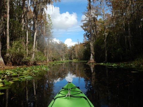
The highest "river mile" launch on the Suwannee is in the Okefenokee NWR at Stephen C. Foster State Park (mile 242). Here, we paddled upstream to explore more of the headwaters. We then visited 3 other launches in Georgia further downriver. Flowing mostly through forest, the water in this Region is clean, but dark tannin stained. Clear springs begin to enter shortly before White Springs, FL
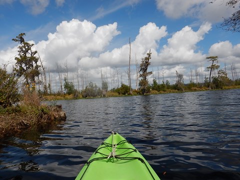
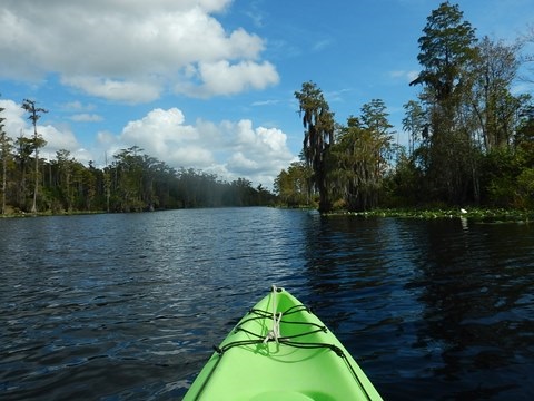
Launch at Stephen C. Foster State Park, GA (mile 242)
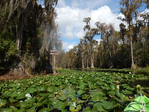
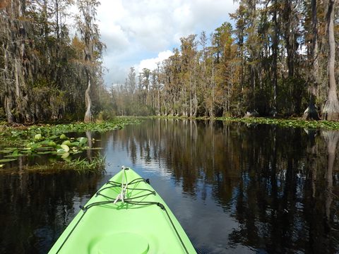
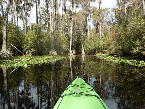
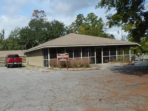
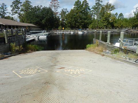
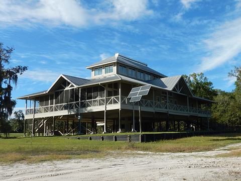
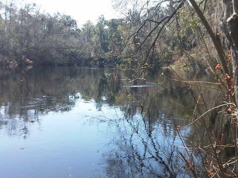
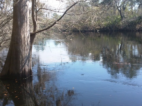
Stephen C. Foster State Park near Fargo, GA serves as the western entrance to the Okefenokee National Wildlife Refuge (both State Park and National Park passes may be used). A paved boat ramp is next to the Trading Post, but we and other paddlers used a sandy hand-launch along the canal past the parking lot. From here, the canal leads to the river (aka Billy's Lake). Initially, the water here is wide, then narrows at each end. Popular trips are to Minnie's Lake, Billy's Island, or the Narrows.
An Easy Kayaking Trip, Out and Back
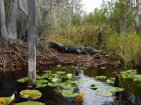
Leaving the short canal, we elected to go right (east) towards a creek entrance (on left) leading to Minnie's Lake. This creek appeared to us to be part of the original flow - cypress-lined, more narrow and twisting, with more shade and less wind than on the wider Billy's Lake. (This also seemed to be a popular choice for the few others we saw on this autumn weekday.) Choose your own distance, there are over 100 miles of paddling trails in the Okefenokee. This is a remote and beautiful spot, more natural than at the Park's eastern entrance (where most paddling is on man-made canals, yet nice as well). And yes, you will almost certainly see alligators here.
More at Stephen C. Foster State Park, GA
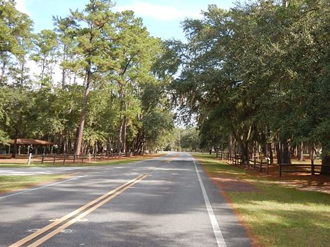
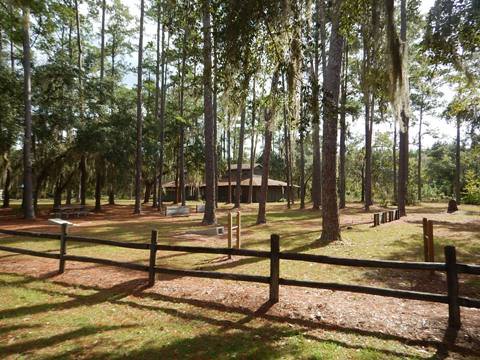
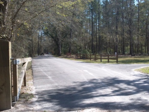
At the trading post are restrooms and parking, plus canoe and kayak rentals. The Park also includes picnicking, a playground, camping, and rental cottages. Fun Fact: The Park, in the middle of the Okefenokee Refuge, is a Certified Dark Sky Park, with some of the darkest skies in the southeast, ideal for star gazing on a clear night.
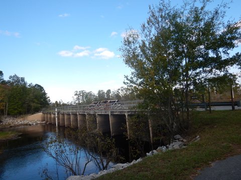
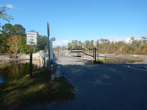
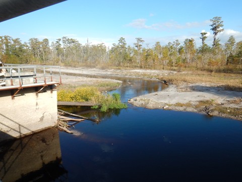
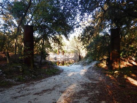
Ramp at Suwannee River Sill (mile 237)
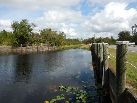
The sill is a 5-mile long earthen dam with 2 concrete and steel water gates. Built in 1960, it was designed to hold water in the swamp to impede wildfires during times of drought. It never worked as intended and given what we've learned about the benefits of natural wildfires, the water gates are now left open at all times. Some publications mark this as the starting point of the Suwannee River. To reach the sill, turn off CR 177 onto a paved road that runs along the sill and ends at the water gates. Here there's a small parking area, with a paved boat ramp and more parking located on the downriver side of the sill.
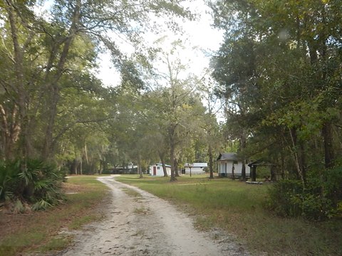
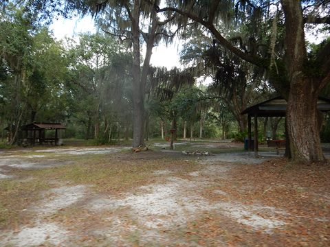
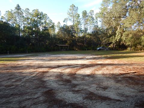
Griffis Fish Camp Launch (mile 235)
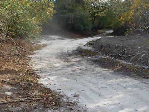
Access is a dirt road off SR 177 through Griffis Fish Camp. This visit was at low water, sand bottom, barely ankle deep in parts. Hand launch only. Watch for soft sand at turnabout, best with 4-wheel drive. Griffis Camp has camping, hookups, picnic pavilions, restrooms, showers.
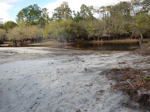
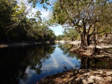
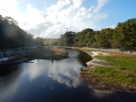
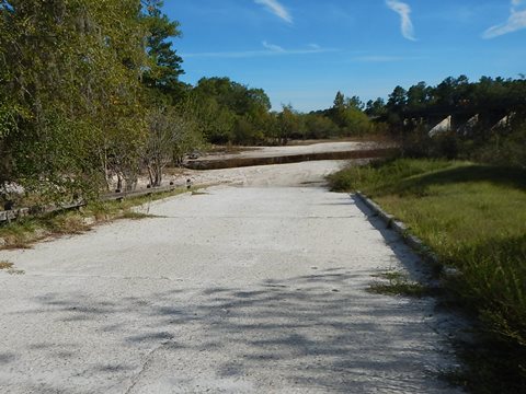
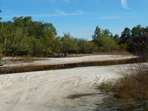
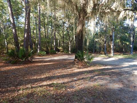
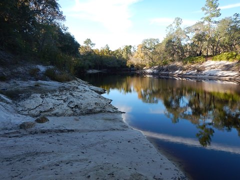
Fargo Boat Ramp (mile 221)
Fargo Boat Ramp at the Stephen Foster Memorial, just off US 441 in Fargo, GA. A wide concrete ramp goes down to a wide, hard-packed sand beach (shown here at low water). At high water, the River can cover the entire boat ramp. Much downfall between Griffis' and here.
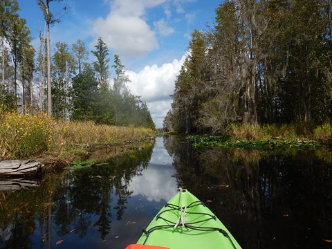
Upper Suwannee River - 5 Launches in Florida
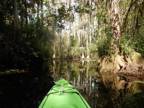
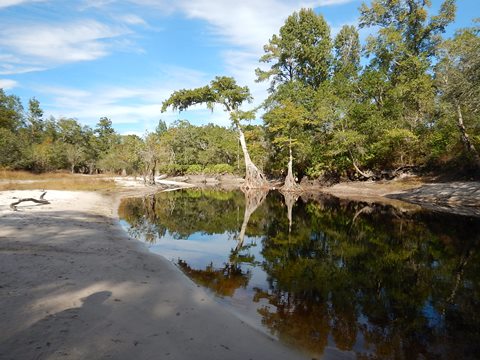
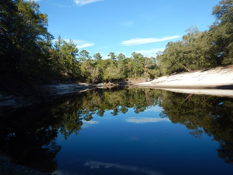
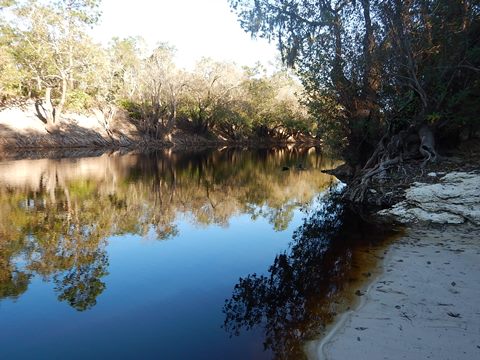
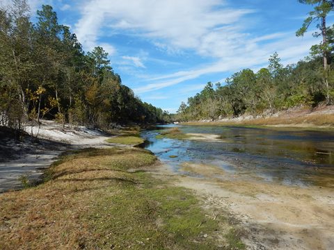
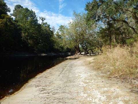
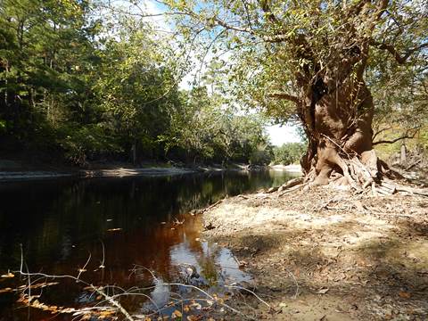
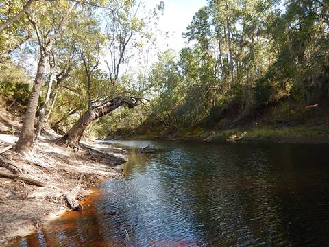
The 5 launches closest to the State line are in a very remote area. Most of the land surrounding the River is public preserve and tree farm. Launches on the west side of the River are accessed off CR 135 and on the east side off US 441. A couple of roads retain the word "bridge" in their names, but the actual bridges are long gone. Today, CR 6 offers the only bridge over the Suwannee between Fargo (US 441) and White Springs (US 41). Generally, the river through this Region is narrow and shallow, with numerous sandy river bends. Ideal for small kayaks and canoes.
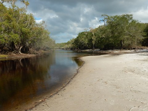
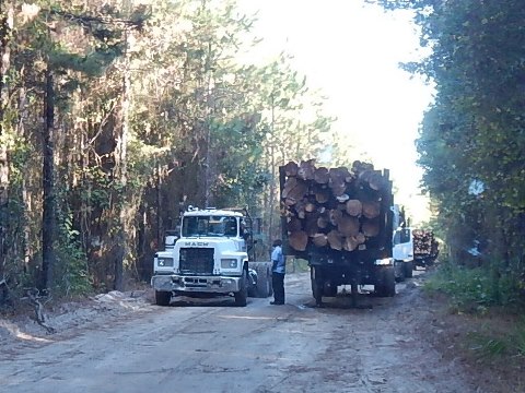
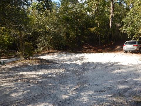
Roline Boat Ramp (mile 202)
Off CR 135, closest to the State line. Narrow paved ramp, dirt parking, no fee, no facilities. We saw several logging trucks driving in.
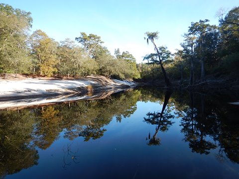
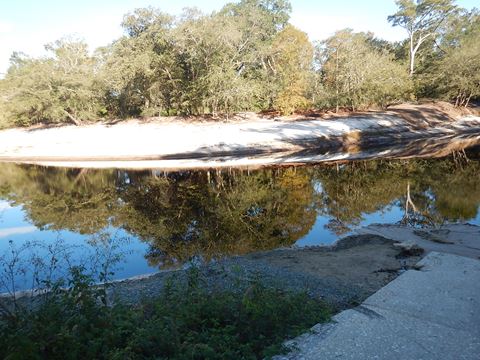
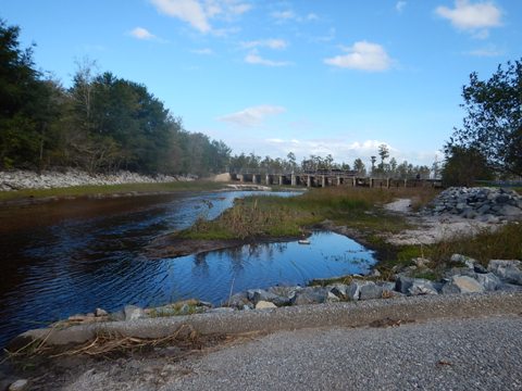
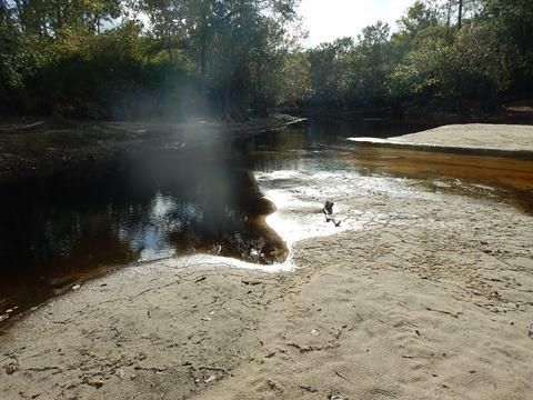
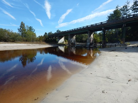
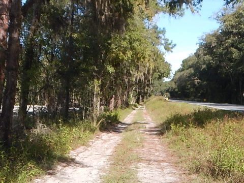
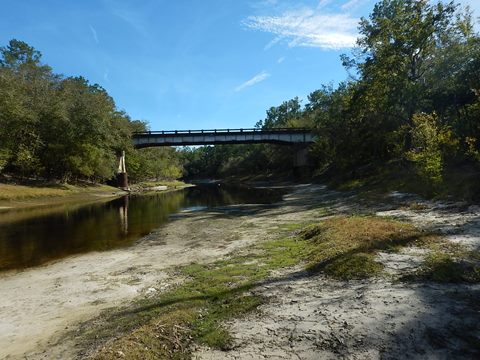
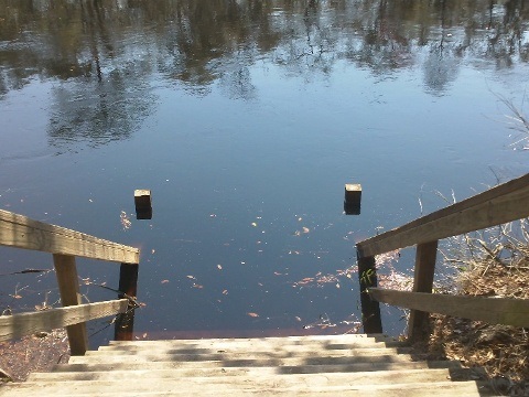
River Access at CR 6 Bridge (mile 195.7)
Along north side of the CR 6 bridge, reached from either US 441 or CR 135. A narrow access road is parallel to CR 6. Hand launch, short carry, likely used more for picnicking and swimming than for launching. Sand parking area. Careful, some soft spots here, no facilities, no fee.
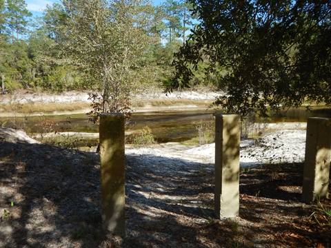
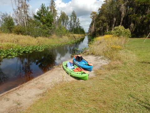
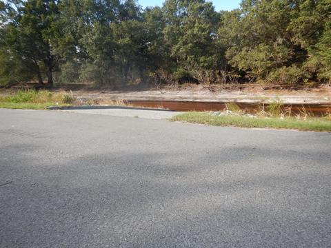
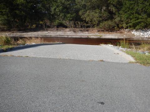
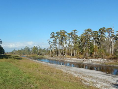
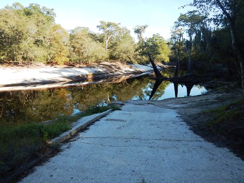
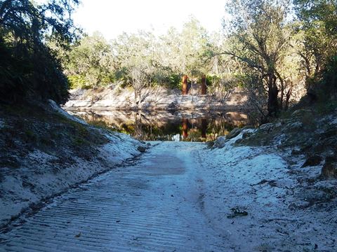
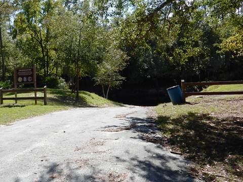
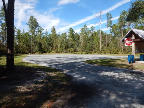
Cone Bridge Road (mile 186.5)
Improved, well-kept facility. From US 441, turn west onto N.W. Cone Bridge Road. The bridge has been gone since the 1960s. Paved ramp and paved parking, some sunny grass grounds, picnic pavilion, no fee. The water appears noticeably deeper at this point.
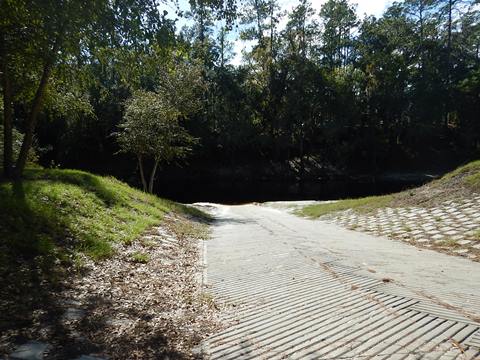
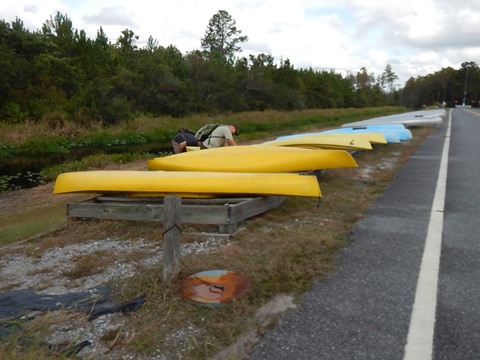
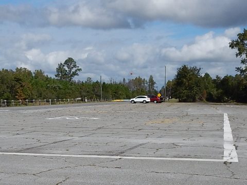
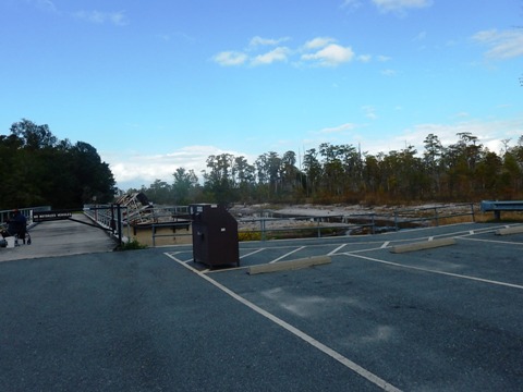
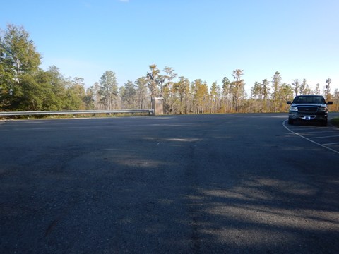
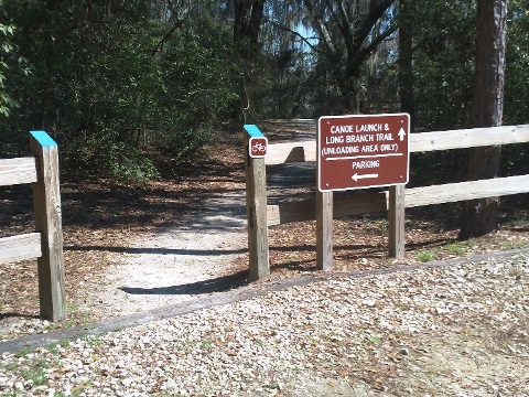
Big Shoals State Park (mile 177.1)
State Park fee applies. Long walk to launch. Bring wheels if you have them. The Big Shoals Rapids, where the river water level drops 9 feet in 1/4 mile, are about 1 mile downstream from the launch. At the right water levels, these are Florida's only Class III rapids. A turbulent ride at high water. This passage is for experienced kayakers only.
Also see biking on the Woodpecker Paved Trail at Big Shoals State Park.
More Information and Resources
Nearby Paddling:
Suwannee River Overview
- Middle River Region
- Lower River Region
See FL North Region for more paddling
Nearby Biking:
Woodpecker Trail at Big Shoals State Park
Related Resources
Stephen C. Foster State Park, GA (mile 242)
- in Okefenokee NWR, a certified "Dark Sky Park"
ExploreSouthernHistory.com (mile 237) -
brief history and outlook for the Okefenokee Sill
Big Shoals State Park, FL (mile 177.1)
- at times Florida's only Class III rapids (1/4 mile portage)
USGS Gauge #02315500 (White Springs, mile 171)
- scroll down to "Gage height, feet. Most recent..." and compare to guidelines
on Overview.
SRWMD River Map (.pdf, 2 pages) -
shows partnership lands and key features. Useful with Google map above.
View great paddling by FL Region or Listed A - Z

PaddleFlorida.net... Find Florida's Best Recreational Paddling,
by Kayak, Canoe, and Paddleboard too.
Copyright © PaddleFlorida.net. All Rights Reserved. Paddle Florida®