Paddle Florida®
Over 100 Florida Paddling Destinations
E-Z Maps... Photos... Reports...
You are here > Home >
North Florida >
Suwannee River >
Suwannee River-Lower
Latest update: October 2020
Lower Suwannee River...
Passing Large Springs to the Gulf of Mexico
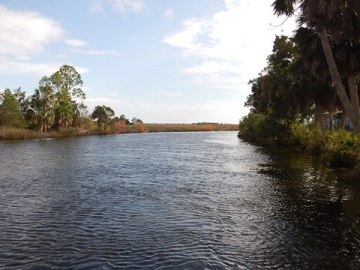
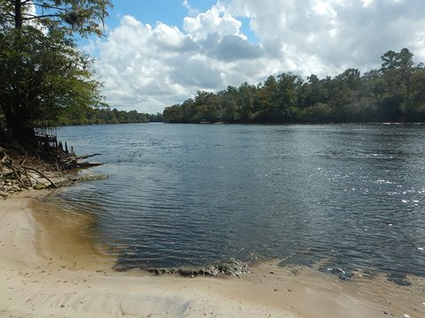
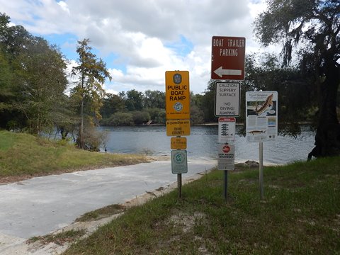
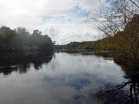
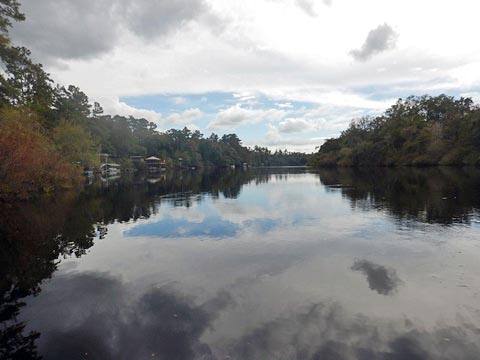
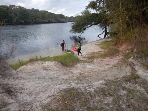
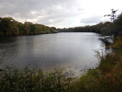
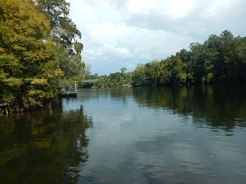
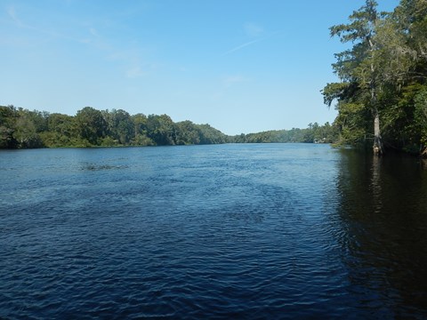
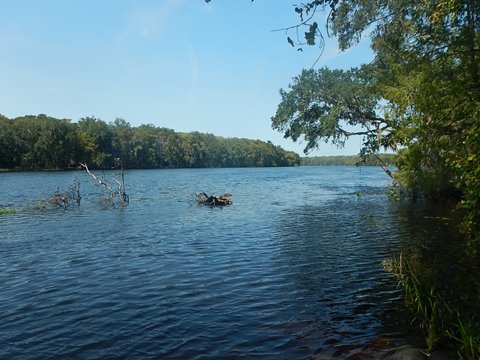
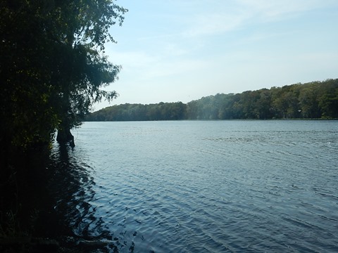
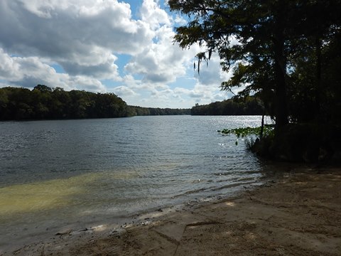
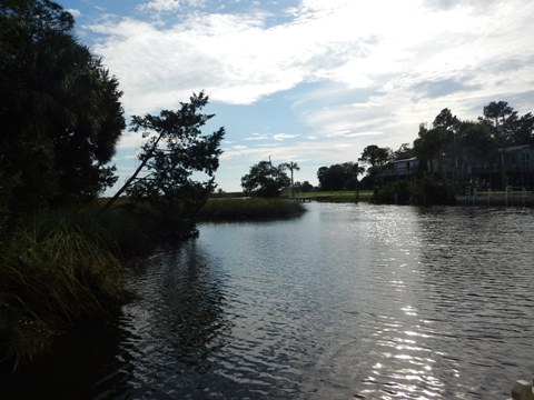
Heading downstream on the Lower Suwannee, wind and tide become key factors. As the Suwannee widens nearing the Gulf, there are more and bigger motorboats. Where the river meets the Gulf is also the southern end of the Big Bend Paddling Trail, 105 miles N.W. along the coastline to the Aucilla River. In this Region of the Suwannee, most recreational paddling is done from one of the Spring Parks, typically along the shoreline for wind protection and better scenery. Below Fowlers Bluff to the Gulf is what we call "big water" paddling - long, open distances, best suited for sea kayaks. (Map and photos below.)
Location: Branford to the Gulf of Mexico
Difficulty Easy to Difficult (wind and tide are key)
Tidal: Yes, more approaching the Gulf
Launch points: Ivey Memorial Park (Branford), Hart
Springs, Otter Springs, Fanning Springs, Fowlers Bluff, Anderson
Landing (Suwannee), more (See
map)
Nearby points of interest: Hart Springs, Manatee
Springs, Fanning Springs
Rentals/Outfitters/Tours:
Anderson's Outdoor Adventures (Manatee
Springs, rentals, tours, shuttle)
Otter Springs Park and Campground
(Trenton, rentals)
Suwannee Guides & Outfitter (Suwannee;
rentals, tours, shuttle)
Support and Advocacy:
Friends of Manatee and Fanning Springs State Parks
Friends of the Lower Suwannee & Cedar Keys National Wildlife Refuges
ForVets, Camp Valor
Project
Page Summary:
- Launches on Lower Suwannee River
- Visiting 20 Launches from Mile 76 (Branford) to Mile 3.9 (Suwannnee) - More Information and Resources
See Overview page for all Suwannee River Regions.
Launches on Lower Suwannee River - Comments and Photos
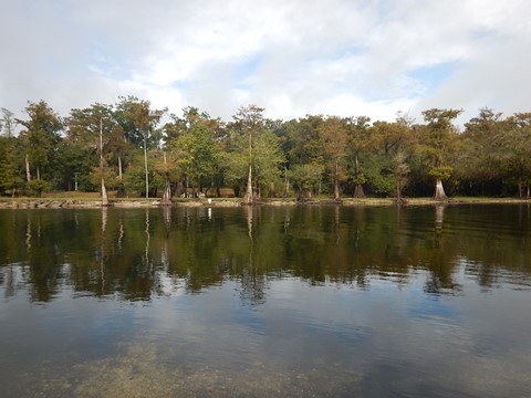
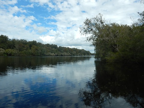
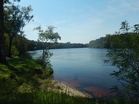
Above Branford, limestone shallows discourage large motorboats - and the reason why Branford was once the steamboat capital of the River. Downstream, the clear, spring-feed Santa Fe River enters, creating another beautiful spot along the River, which at this point is consistently deep and wide, a popular weekend rendezvous for motorboats.
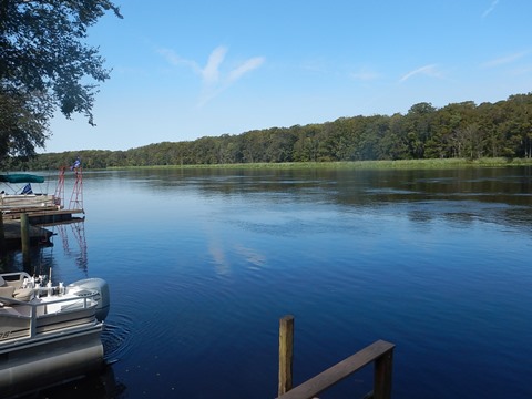
Branford FL, Ivey Memorial Park (mile 76)
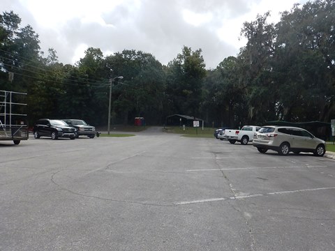
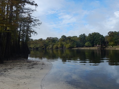
Ivey Memorial Park (no fee) off US 27 in Branford has two boat ramps - the second is the better choice for paddle craft, with a sandy launch area to the side. At normal water levels, the River varies between about 250' and 325' across for about 10 miles downstream to its confluence with the Santa Fe River. The Park has paved parking, porta-potties, picnicking, a dock, and a boardwalk around Branford Spring. Swimming in the spring when the water is high enough.
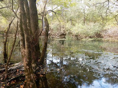
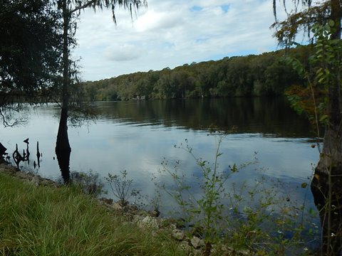
Santa Fe River by Suwannee (mile 66), Hard Sand Launch
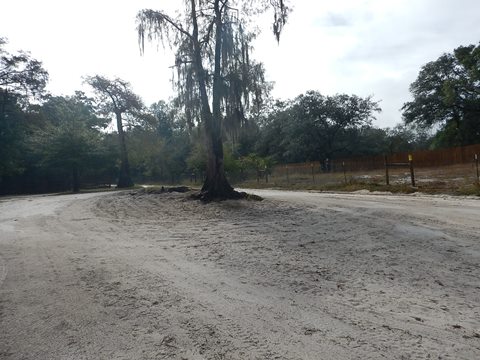
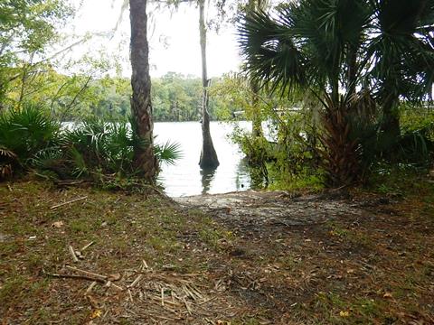
Located on the beautiful, spring-feed, about 200 yards off the Suwannee. Unpaved, hard sand and grass, perfect for hand launch, or for take-out after trips down the Santa Fe. Not so perfect for large powerboats. Scenic, cypress-lined riverbanks. Access is off US 129, east and south of Branford; plenty of unimproved parking, no facilities. This is a low lying area and appears that it may be flooded at high water.
Hurst Landing Boat Ramp (mile 59.6)
Hurst Landing Boat Ramp (also called Hirsh Landing), located on the north side of the river in a residential area in Branford (Hatch Bend) along SE Foster Drive. The wide ramp with sandy launch is between two homes, parking is across the street.
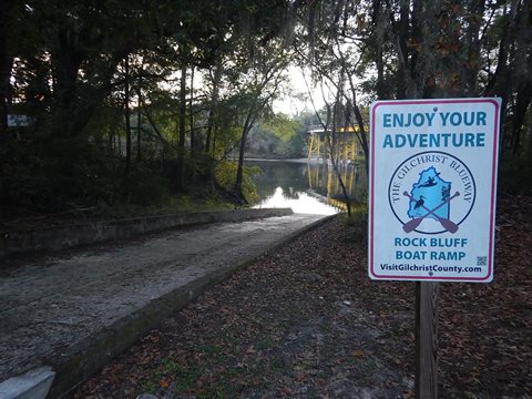
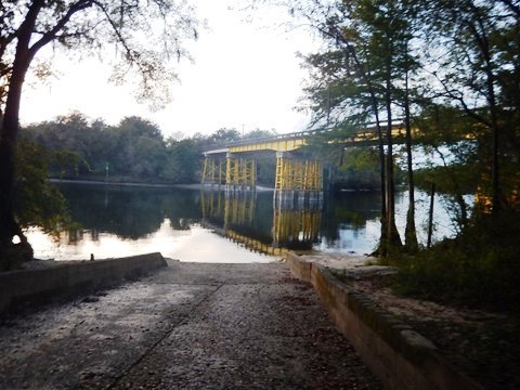
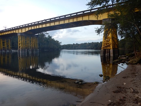
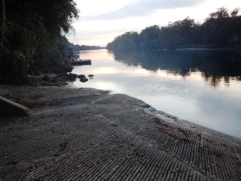
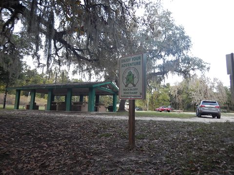
Rock Bluff Boat Ramp (mile 56.6)
Rock Bluff Boat Ramp on the south side of the river at the CR30 bridge in Bell, FL (across from J. H. Anderson, Jr. Memorial Park). Parking, picnic pavilion, dock. Dixie County facility, no fee.
Gornto Spring Boat Ramp (mile 55)
Gornto Springs is a Dixie County Park on the north side of the river in Old Town, off CR 353. A sandy beach next to the public boat ramp serves as a hand launch area. In addition to the 2nd magnitude spring and launch, the park has picnicking and restrooms.

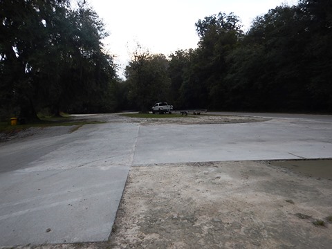
Wannee Boat Ramp (mile 43.7)
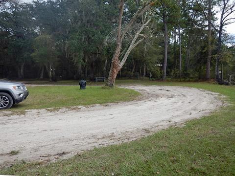
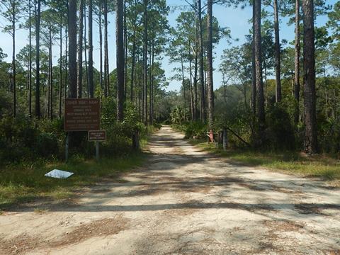
Wannee Boat Ramp, part of the Log Landing Wildlife Management Area, is on the south side of the river along SW 80th Avenue in Bell, FL. Boat ramp, picnic table, parking. Grassy area next to the ramp can also be used as a launch. No fee. From SW 80th Avenue, it's about 1/10 mile on a dirt road to the ramp. This is a remote area and not a recreational paddling destination - for paddlers this could be a stop along the river.
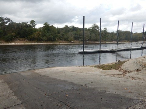
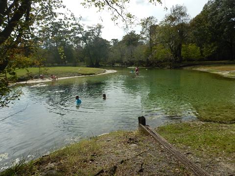
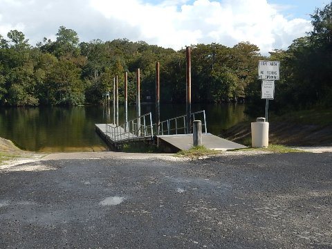
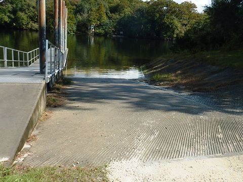
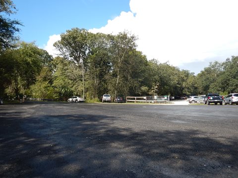
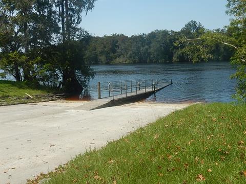
Hart Springs County Park Boat Ramp (mile 43.1)
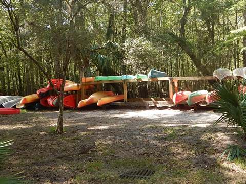
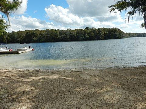
Hart Springs County Park Boat Ramp on the south side of the river in Bell, FL, is located along SW 90 Avenue about 1/4 mile from Gilchrist County's Hart Springs County Park. There are two ramps separated by a dock. A sandy beach down a short slope near the ramps appears to be a good hand launch spot. Rentals and shuttle available from Anderson's Outdoor Adventures.
The 200-acre park includes parking, restrooms, the 2nd magnitude spring, scuba diving in the cave system, accommodations, camping, and a boardwalk. Fee charged.
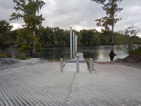
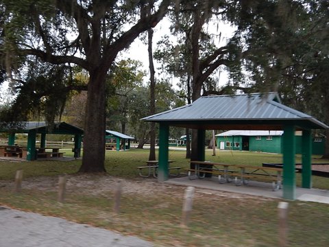
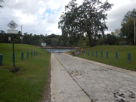
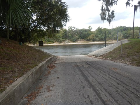
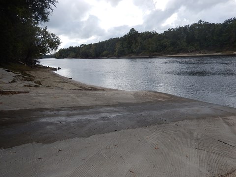
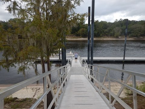
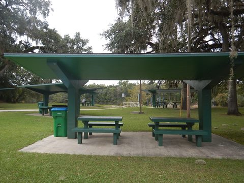
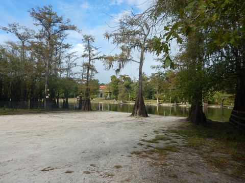
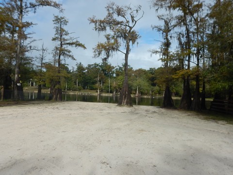
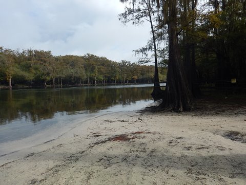
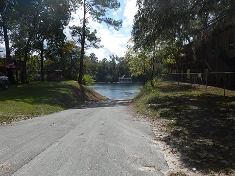
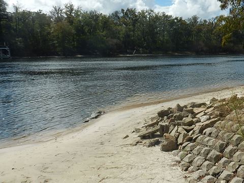
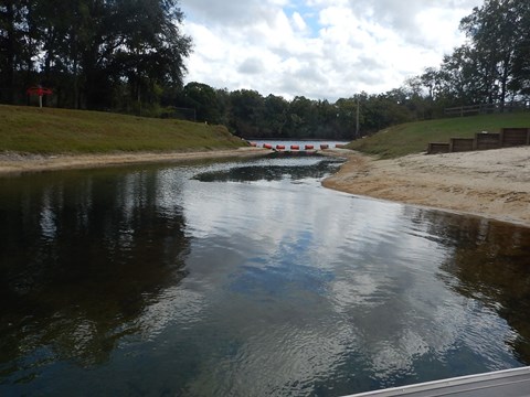
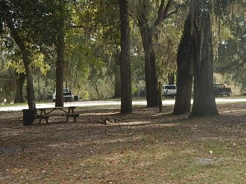
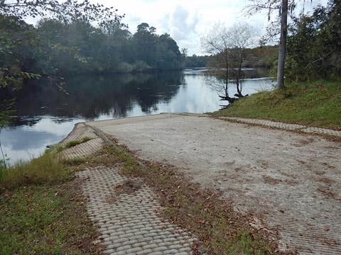
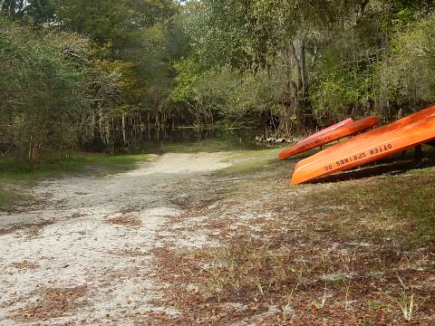
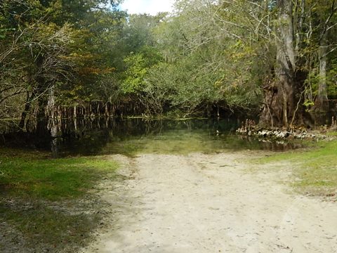
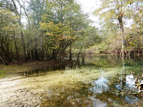
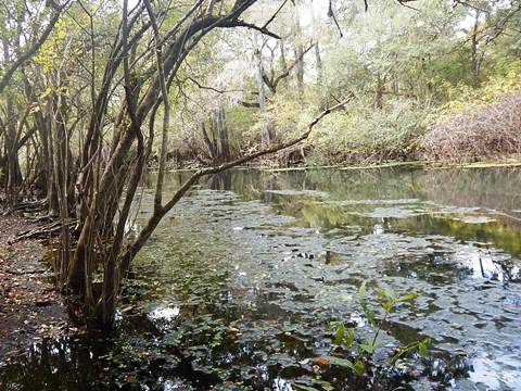
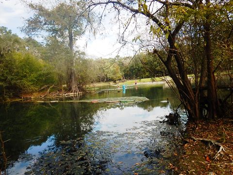
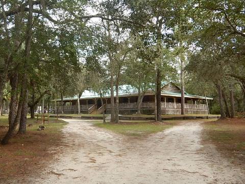
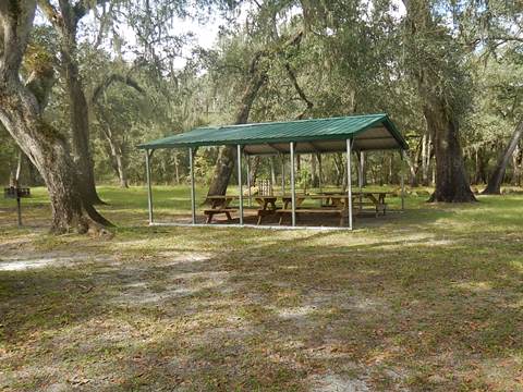
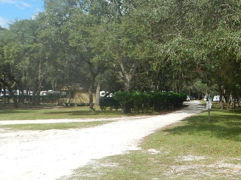
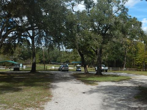
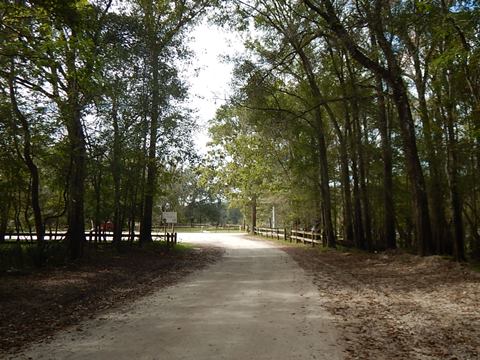
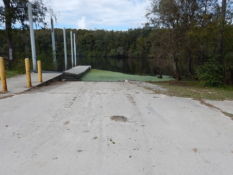
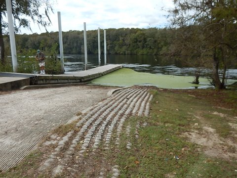
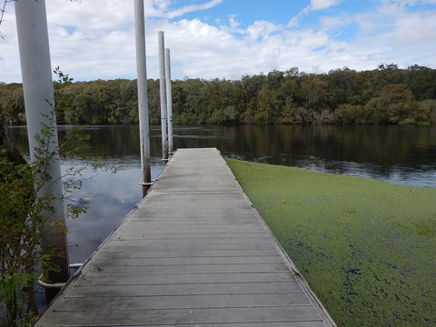
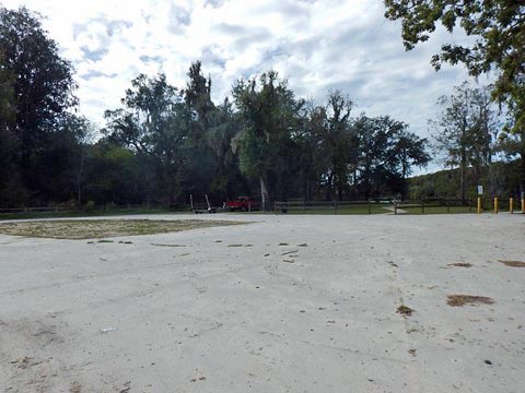
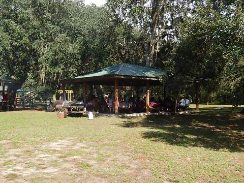
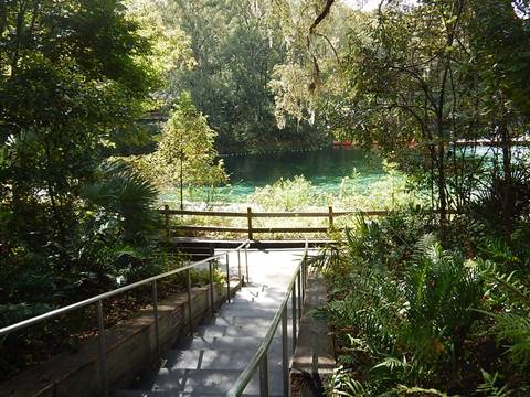
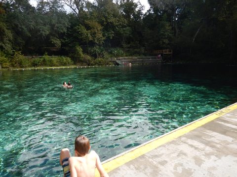
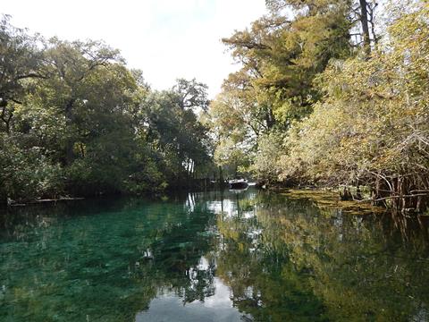
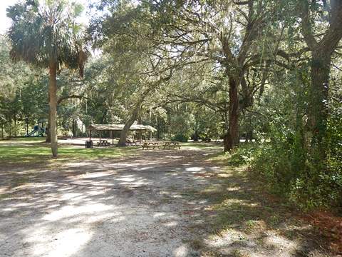
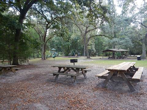
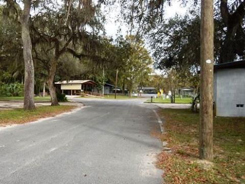
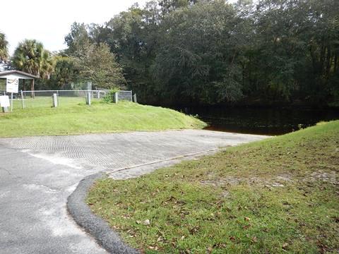
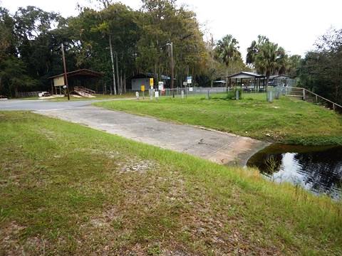
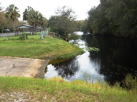
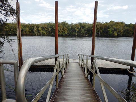
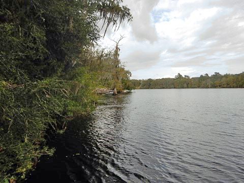
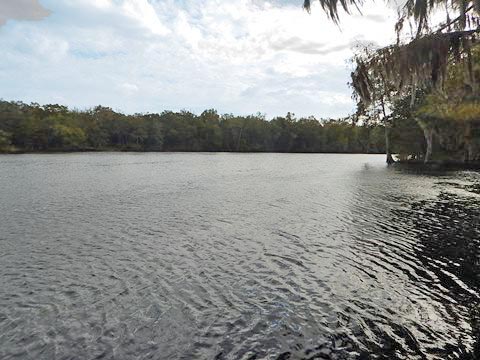
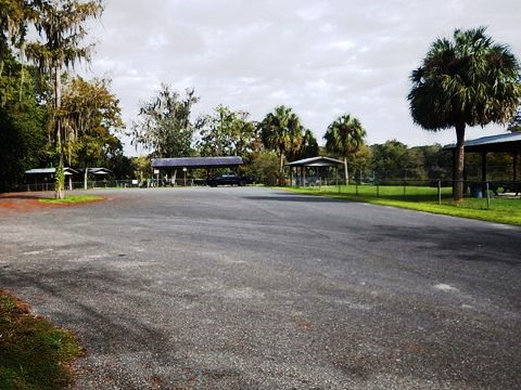
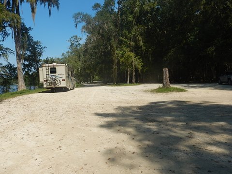
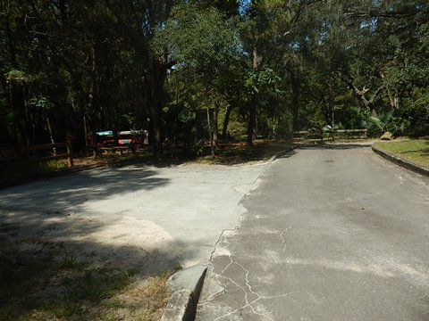
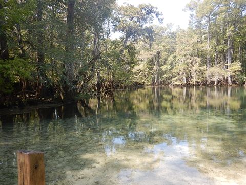
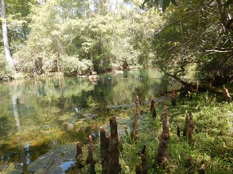
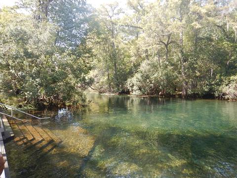
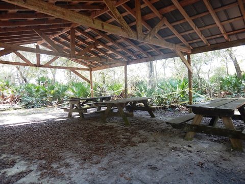
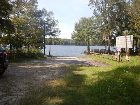
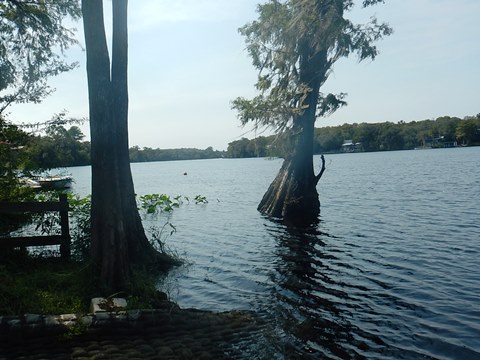
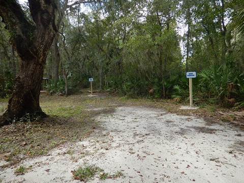
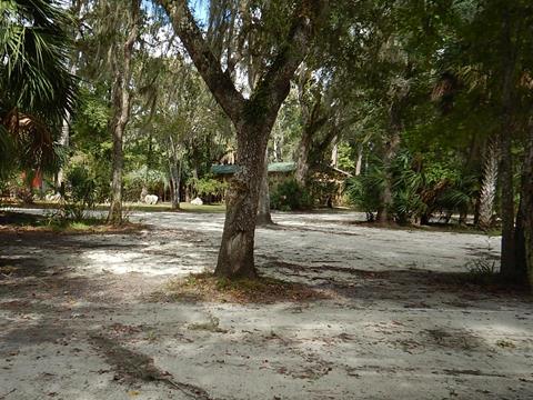
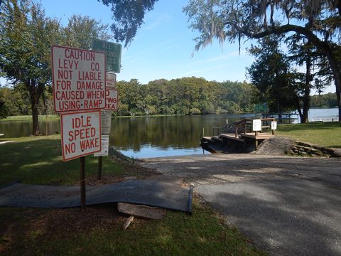
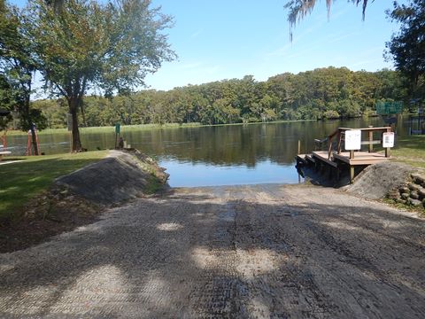
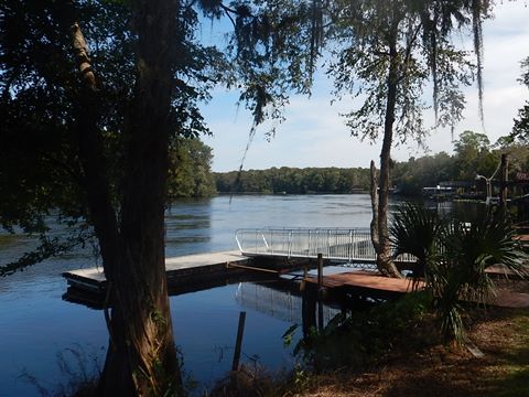
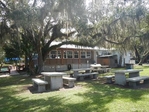
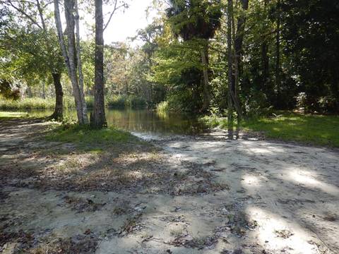
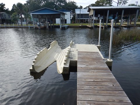
Otter Springs Park and Campground (mile 40.4)
Otter Springs Park and Campground, located on the south side of the river along SW 80th Avenue in Trenton, was an unexpected "find" with an easy launch onto the 1-mile spring run to the Suwannee. This Gilchrist County park is managed by ForVets, which is developing Camp Valor on the property - a transitional community with recovery facilities and support for military veterans with service related disabilities. Small entry fee for public facilities, additional for camping or events. Veterans discount for camping.
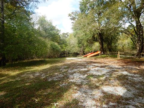
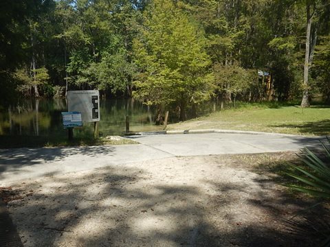
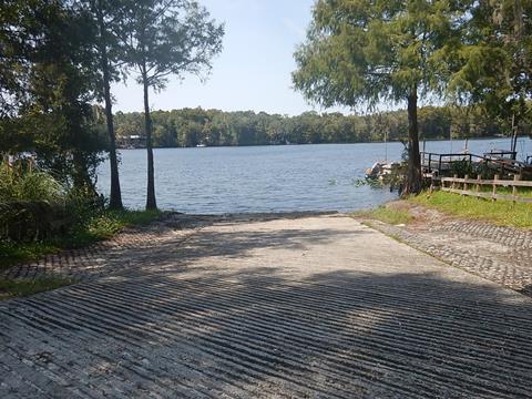
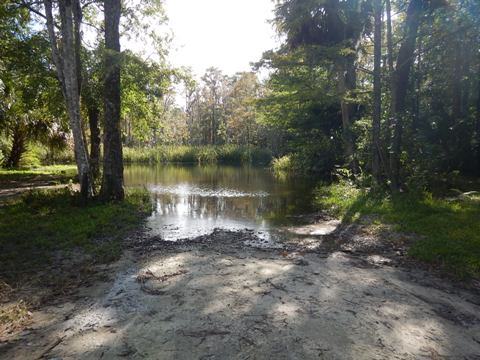
Kayak/Canoe Launch
The launch is next to the spring, easy on and off. The spring run is about one mile to the Suwannee River, but may be impassable at low water. Rentals are available. We haven't paddled here yet but will provide details on a future visit.
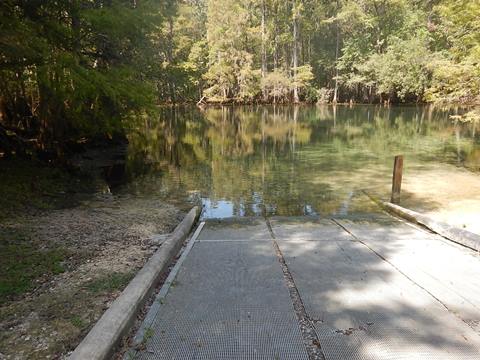
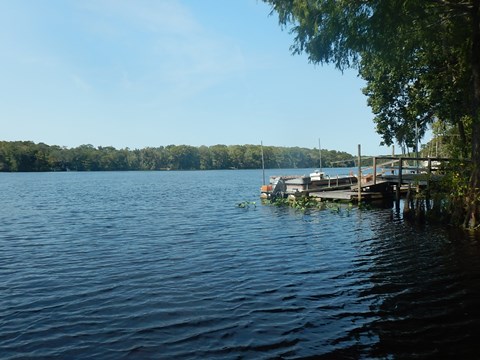
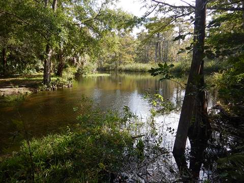
Otter Springs Park
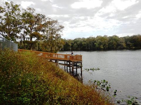
The 636 acre park includes parking, picnic and restrooms, plus the 2nd magnitude spring, the spring run, nature trail, RV and tent campsites, cabins, and a heated indoor pool (available to campers). A lodge and picnic building can be rented for events. Camp Valor will be located in a separate area on the property.
More information: Otter Springs Park and Campground
Shingle Landing (mile 39.8)
Shingle Landing is about 1/2 mile downstream from Otter Springs Run, on the south side of the river. By land, it's about 1/2 mile south of the park entrance along SW 80th Ave., then another 1.25 miles on SW 70th St. (a dirt road) to the boat ramp. Parking, floating dock, boat ramp - no other facilities. No fee. A grassy area next to the ramp can also be used to launch. No fee. Part of the Log Landing Wildlife Management Area, this is a remote area.
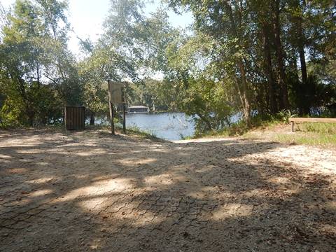
Joe Anderson Park Boat Ramp (mile 34.2)
Joe Anderson Park Boat Ramp, on the north side of the river near the US 19/98 bridge in Old Town, FL, is across the river from Fanning Springs State Park. Joe Anderson Park has two boat ramps, separated by a dock, picnic, and ample parking.
Fanning Springs State Park
There's no river launch at the park, but worth a visit. Fanning Springs State Park (Park fee applies) has one large spring, other smaller springs, parking, restrooms, camping, picnicking, concession and restaurant, and nature trails. Note: The main spring was once classified as 1st magnitude, sadly flow has diminished and it was reclassified to 2nd magnitude.
More information: Fanning Springs State Park
Hinton Landing Park Boat Ramp (mile 31.6)
Hinton Park Boat Ramp on the north side of the river at the end of CR317A (SE 230 Ave.) in Old Town. Wide boat ramp with grassy areas on either side to launch. From the ramp to the river is a short run of about 400 feet. The park inlcudes parking, restrooms, picnic tables and grills, playground, and a fishing pier. Another floating dock leads to the river. No fee.
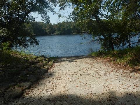
Clay Landing (mile 28)
Clay Landing is a linear park stretching along the south bank of the river at NW 130th St. in Chiefland. There's a double boat ramp, but a couple kayak/canoe launch areas are located at the south end of the park (these may not be useable at high water, though). Parking and picnic tables also available. No other facilities. No fee.
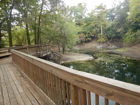
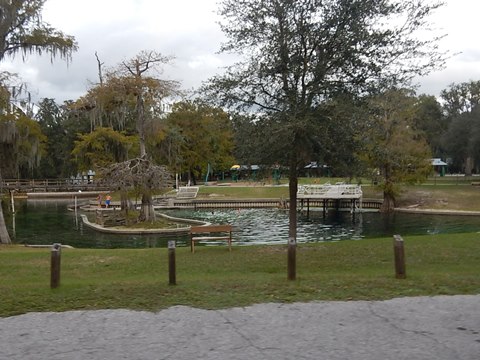
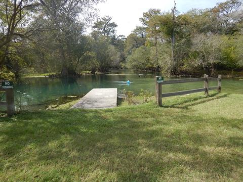
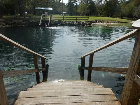
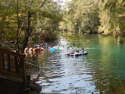
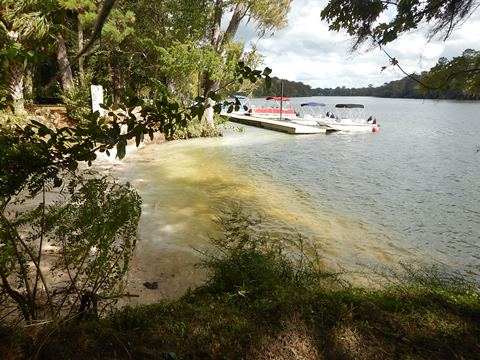
Manatee Springs State Park (mile 25)
The launch at Manatee Springs State Park is next to the outfitter, Anderson Adventures, at the top of the spring run - from the staging area, about a 100 foot carry to the launch. The run is closed off December-April to protect the manatees, the alternative is to launch at the riverside dock which involves a 900 foot carry along a boardwalk. Note: We recommend launching from Clay Landing and visiting the spring run (when open) from there.
The park offers swimming and scuba diving at the 1st magnitude spring, plus parking, restrooms, biking, picnicking, playground, concession, and camping. An 800-foot boardwalk runs through cypress forest. State park fee applies.
More information: Manatee Springs State Park
Usher Boat Ramp (mile 24.6)
This is a remote corner of Manatee Springs State Park, on the south side of the river. From NW 102nd Place, follow the narrow dirt road to the ramp. From the river, a good rest stop. Parking, picnic. No fee.
Camp Azalea (mile 23.3)
On the south side of the river, at 9350 NW 128 Court, Chiefland. County boat ramp, parking. No amenities, no fee.
Yellow Jacket Resort Boat Ramp (mile 22.7)
Located on the north side of the river along CR 349 about 10 miles west of Old Town. The ramp and parking area are operated as a private/public partnership with no fee. The resort offers RV and tent camping, cabins, and boat rentals, plus a pool and washroom/showers.
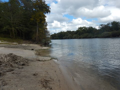
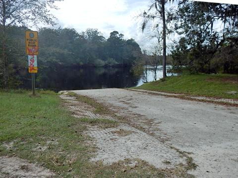
Fowlers Bluff (mile 16.5)
On the south side of the river, adjacent to Treasure Camp Restaurant, Motel and General Store off CR 448 (NW 46th Lane) in Chiefland. County boat ramp. Amenities at Treasure Camp. No fee. Fowlers Bluff was once a pirate hangout, legend tells of treasure buried here.
Munden Creek Boat Ramp (mile 7.6)
Located just before the town of Suwannee, in a neighborhood off SE 374 Street. Pretty spring feeds creek at launch, about 1/2 mile to the River. No fee.

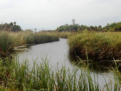
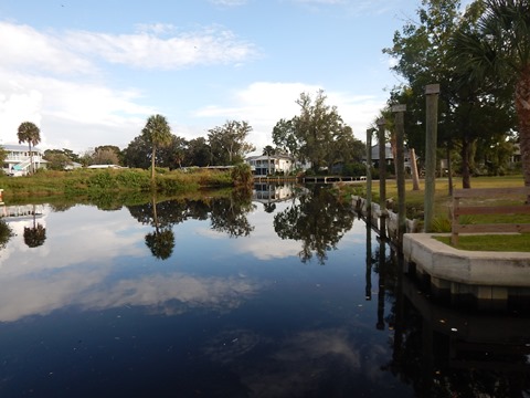
Lower Suwannee National Wildlife Refuge (miles 6.5-4.5)
Tidal streams and side creeks near Suwannee, 3 loop trails covering about 9 miles have been mapped out. Launch from Suwannee (see below).
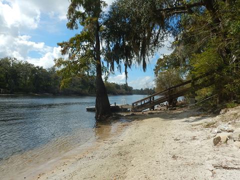
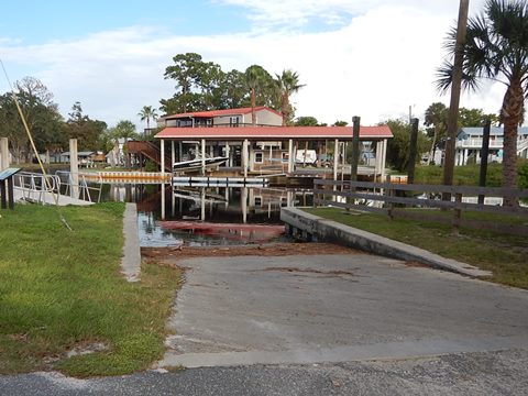
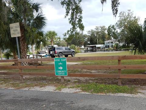
Town of Suwannee
Located about 4 miles from the Gulf of Mexico and popular for fishing, Suwannee, FL is a small, unincorporated town (pop. 300) at the end of CR 349. The town is encompassed by the the Lower Suwannee National Wildlife Refuge, 54,000 acres that serves to protect the natural coastline and both sides of the lower Suwannee River. The launches here are not directly on the River, but rather on creeks and canals that lead to the River and Gulf.
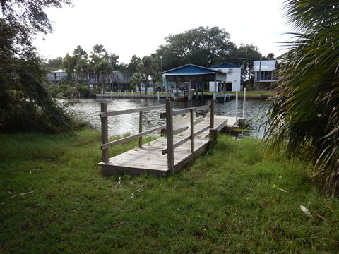
Anderson Landing (mile 3.9)
On Demory Creek (also called Demory Creek Boat Ramp) at SE 200 St. No fee.

More Information and Resources
Nearby Paddling:
Suwannee River Overview
- Upper River Region
- Middle River Region
- Lower River Region
Big Bend Paddling Trail
Santa Fe River
See FL North Region for more paddling
Nearby Biking:
Nature Coast State Trail
Suwannee River Greenway
Lower Suwannee
National Wildlife Refuge (Overview)
Related Resources:
SRWMD River Map (.pdf, 2 pages) - shows partnership
lands and key features. Useful with Google map above.
Lower Suwannee National Wildlife Refuge
- 54,000 acres, established to protect the high water quality of the
Suwannee River
View great paddling by FL Region or Listed A - Z

PaddleFlorida.net... Find Florida's Best Recreational Paddling,
by Kayak, Canoe, and Paddleboard too.
Copyright © PaddleFlorida.net. All Rights Reserved. Paddle Florida®