Paddle Florida®
Over 100 Florida Paddling Destinations
E-Z Maps... Photos... Reports...
You are here > Home >
North Florida >
Santa Fe River
Latest update: November 2019
Santa Fe River...
North Florida River and Springs Paddling
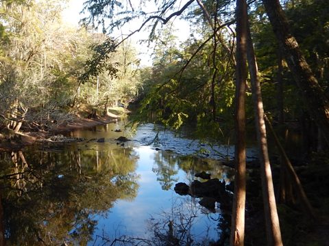
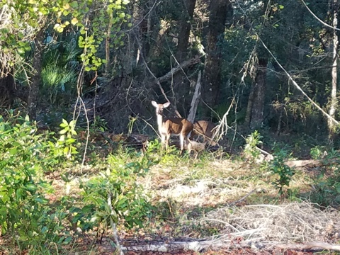
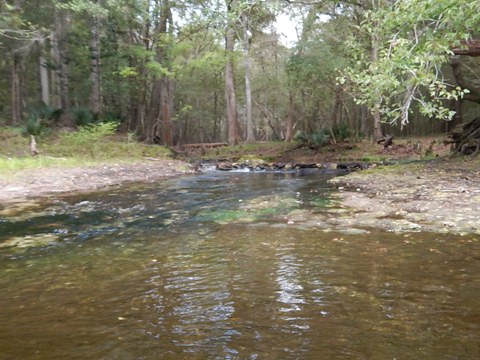
The Santa Fe River is one of Florida's prettiest. The entire river runs 75 miles from Lake Santa Fe (top 1/3 is non-navigable) to the Suwannee River. The Designated Paddling Trail is 26 miles and feed by over 35 springs. Terrain includes flatwoods, hardwood hammock, and tree farm, making the water tannic (tea colored), clearing by the springs. The Trail is mostly easy paddling, subject to water levels. At low water, expect shoals requiring short pull-overs. Here, jagged limestone can be tough on feet, so water shoes can be useful, especially between US 41/441 and US 27. Wildlife include deer, otter, snakes, birds, and many turtles. Snorkeling, tubing, bird watching, and fishing are popular. (Detailed map and photos below.)
Distance: 75 miles (top 1/3 non-navigable); 26-mile Designated Paddling Trail
Location: Alachua, Columbia, Gilchrist, Suwannee Counties
Difficulty: Easy to Moderate
Tidal: No
Launch points: 15 shown here. Most popular are High Springs (below US 41/441 bridge), US 27 bridge,
Poe Springs, Rum Island Park, Gilchrist Blue Spring State Park, SR 47 bridge, US 129 bridge (See map)
Nearby points of interest:
O'Leno State Park, Ichetucknee River State Park, numerous springs
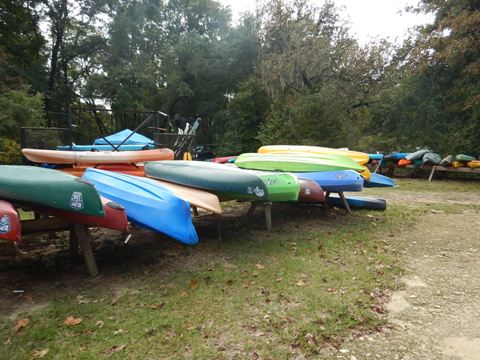
Rentals/Outfitters/Tours:
Santa Fe Canoe Outpost
(High Springs; rentals, shuttle, tours)
Adventure
Outpost
(High Springs; rentals, shuttle, tours)
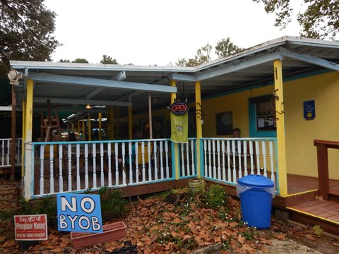
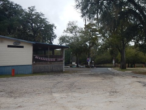
Rum 138
(Fort White; rentals, shuttle, tours, restaurant, art gallery)
Anderson
Outdoor Adventures
(High Springs; rentals, shuttle)
Support and Advocacy:
Page Summary:
- Paddling on the Santa Fe River
- Upper Santa Fe - Worthington Springs to High Springs
- Chastain Seay Park, Bible Camp Road Boat Ramp
- O'Leno State Park, the river "sink" and "rise"
- High Springs Boat Ramp - Middle Santa Fe - High Springs (US41/441) to SR 47
- US 17 launch, Poe Springs County Park, Rum Island Springs County Park
- Gilchrist Blue Spring State Park
- Gilchrist County Santa Fe River Park - Lower Santa Fe - SR 47 to the Suwannee River
- Hollingsworth Bluff Boat Ramp, Ira Bea Landing, Guy Lemmon Memorial Park
- Sandy Point Campground, Ellie Ray's Resort Boat Ramp, Santa Fe/Suwannee Launch - More Information and Resources
Paddling on the Santa Fe River... Comments and Photos
By kayak or canoe, we believe the best recreational paddling on the Designated Trail is between the US 27 and SR 47 bridges. Here there are numerous springs, plus shallow water restricts motorboat and jet ski traffic. At low water levels, there is an occasional need to pull-over (mostly between US 27 and Poe Springs). From SR 47 downstream, the river deepens and motorboat traffic may be encountered, mostly on weekends, especially at and below the confluence of the Ichetucknee River. Experienced local outfitters offer shuttle services with trip options of 6 to 11 miles, or get their advice to customize your trip. When bringing your own kayak to go upstream and back, for more secure parking, we recommend launching from one of the State or County parks (small fee). Other locations are remote, more suited as a landing when paddling rather than a destination launch. Two launches are private with higher fees.
Given the distance, we divide the river into three (3) sections. Our report goes from upper to lower river, with photos of 15 launches.
Santa Fe River - Upper
Worthington to High Springs
Note: this upper section of the river is of little interest to most recreational paddlers, except between the "rise" and the US 41/441 launch. But we've always wanted to know, so we visited launches and chatted with locals to provide a report for those, who like us, may be curious. (Viewing in Google map is also useful.) The river from Worthington Springs to O'Leno State Park has 3 launches with paddling distances limited by shallow water and downfall. Passing through O'Leno State Park, the river goes underground at the "sink" and reappears about 3 miles away at the "rise." Paddling to the "rise" up and back from the High Springs Boat Ramp (about 1/4 mile below US 41/441) is an easy and typically peaceful trip - mostly through River Rise Preserve State Park - about 2.7 miles. Heading down river, this boat ramp also marks the start of the 26-mile Designated Paddling Trail.
Boat Ramp at Chastain Seay Park, Worthington Springs, FL
Located on the north side of the river next to the SR 121 bridge. City Park, no fee. Popular with locals, but paddling is limited to only about 0.6 mi. total before the river narrows and is blocked by downfall and debris at both ends. The Park also has parking, restrooms, picnic facilities, a playground, and a walking trail.
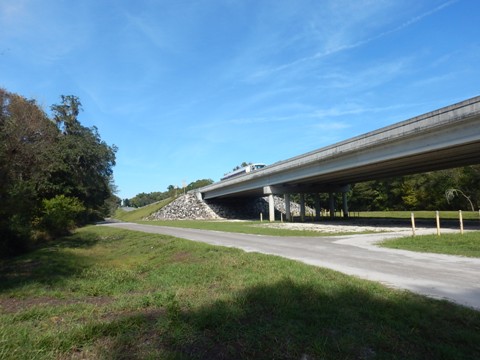
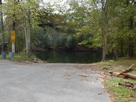
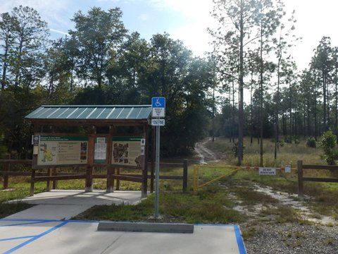
Bible Camp Road Boat Ramp
Located about 3.5 mi. off US 41/441. Public, no fee. Parking, information kiosk, no amenities. Property next to an I-75 overpass, so traffic noise. We are told that downstream, it quickly becomes impassable, but upstream is open for "about 2.5 miles." (Intriguing.) This location is remote, so if paddling, do not leave valuables in car.
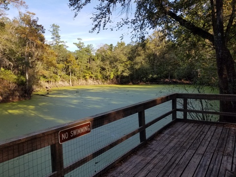
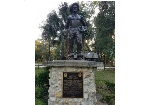
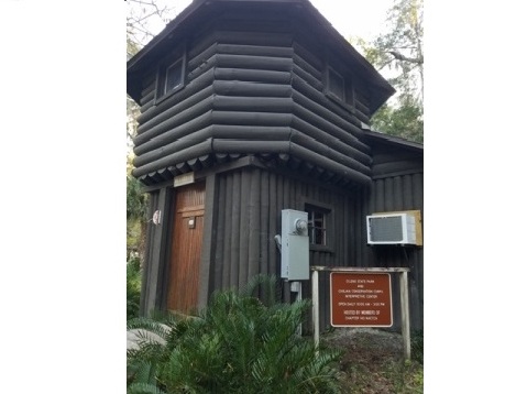
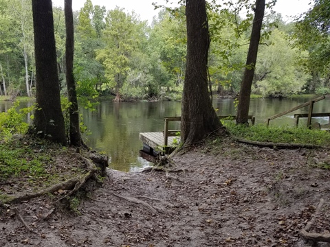
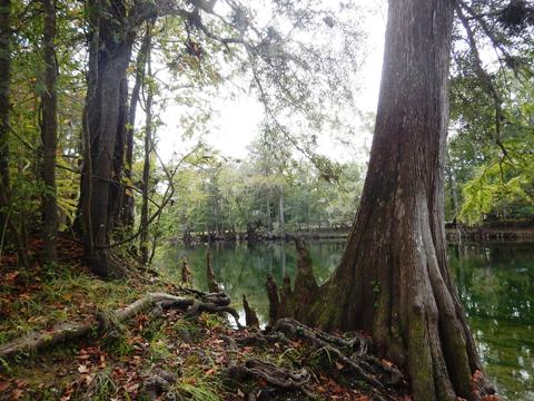
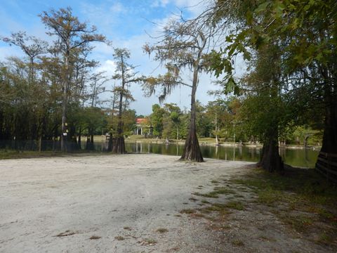
Hand Launch at O'Leno State Park and the "Sink"
In brief, this is an interesting hiking destination, but of little interest to kayakers. A beach launch is next to the roped-off swimming area. Canoe rentals are available. Paddling here is upstream only. Used mostly by campers, canoes can only go about a half mile before the river is blocked by downfall. No paddling is allowed downstream through the swimming area to the sink, due to its environmentally sensitive nature. Otherwise, there is a wide hiking trail along the river to the "sink."
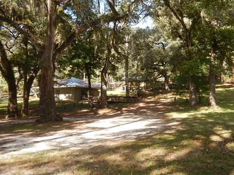
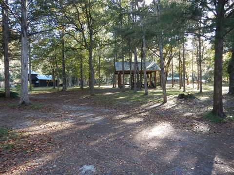
Launch Area
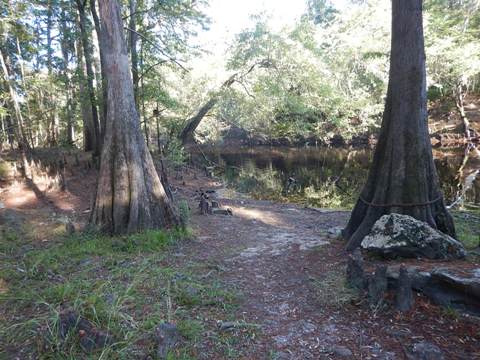

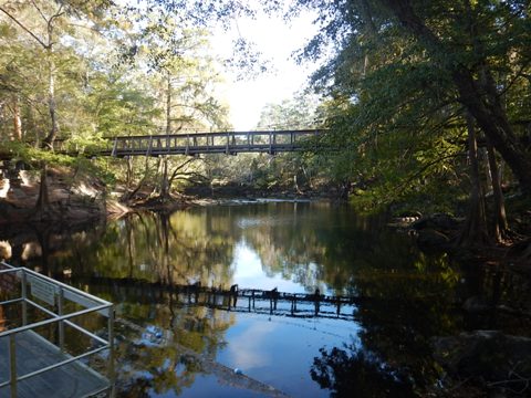
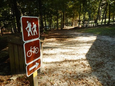
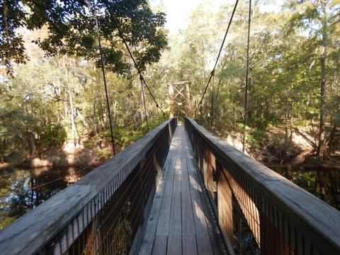
O'Leno State Park
O'Leno State Park along the Santa Fe River is a beautiful 6,000 acre park. Constructed by the Civilian Conservation Corps in the late 1930's, it still has buildings and the suspension bridge built at the time. A history museum tells about the town of Leno and millworks along the river. Park activities include camping, picnicking, hiking, swimming, wildlife viewing, paddling, and biking.
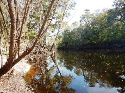
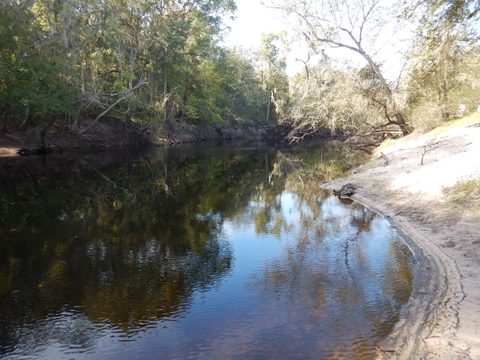
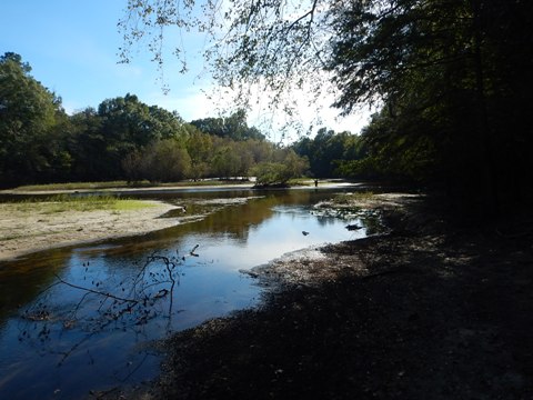
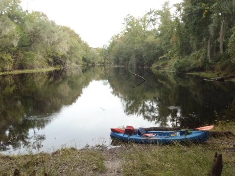
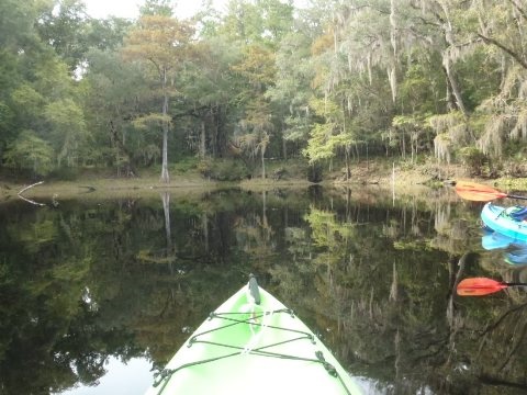
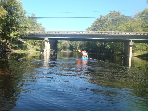
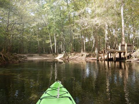
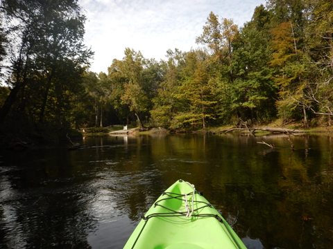
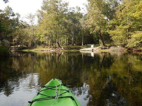
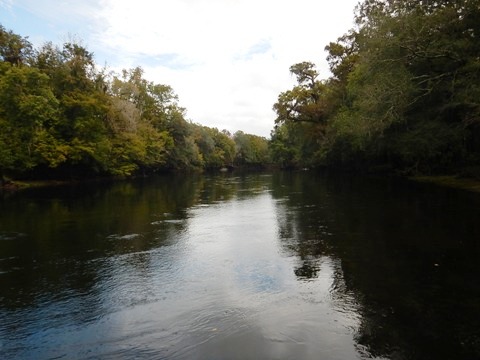
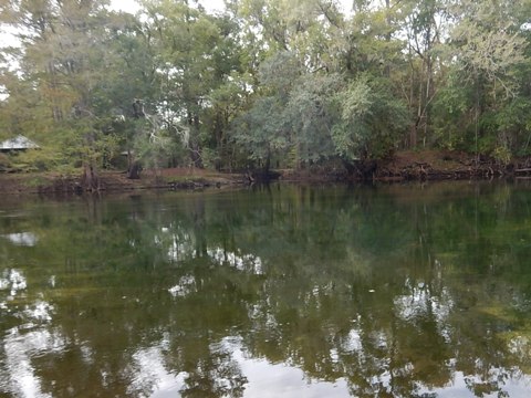
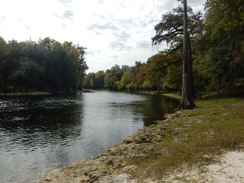
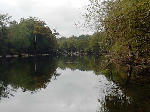
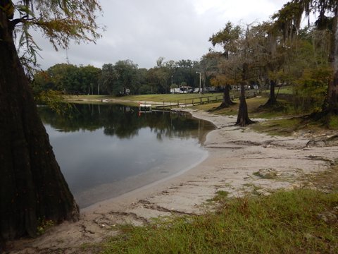
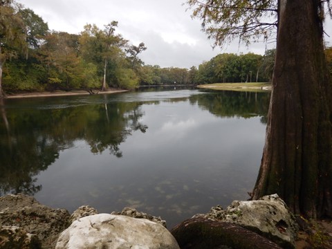
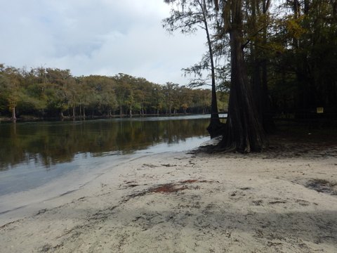
To the "Rise" from High Springs Boat Ramp
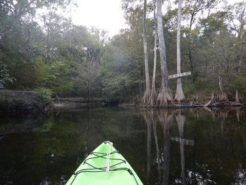
The River "rise" is about 2.7 miles upstream from the High Springs Boat Ramp, which is located about 1/4 mi. below the US 41/441 bridge (can be tricky to find, see map). It's an easy and typically quiet paddle up to the rise, with a grass landing and picnic area at the far end. Canoe Outpost (rentals, full service outfitter) is located next to the bridge.
The "rise" is a large circular pool of water similar to a spring, but the water is tannin-stained and not inviting like the clear springs further down river. Because of this, the "rise" is probably a disappointment to some. But it is a unique geological feature in peaceful surroundings and few paddlers venture this way.
Santa Fe River - Middle
US 41/411 Launch to SR 47 Launch
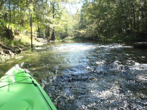
The High Springs Boat Ramp marks the start of the Designated Paddling Trail. Downstream to the US 27 bridge (about 3 miles, expect portages, difficult at low water), the river is wide and shallow with a moderate current, and abuts the River Rise State Preserve. Overall, this is a quieter section of the river, especially when compared to the popular springs area further downstream.
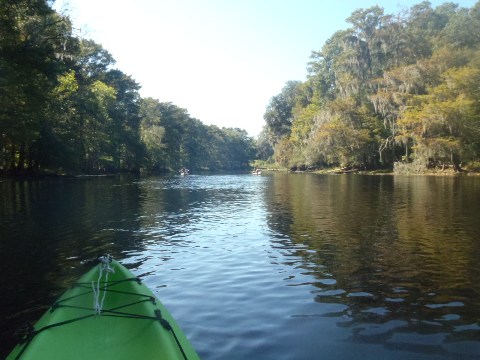
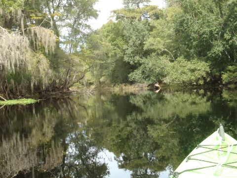
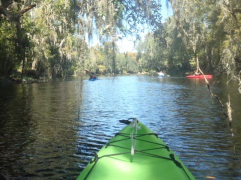
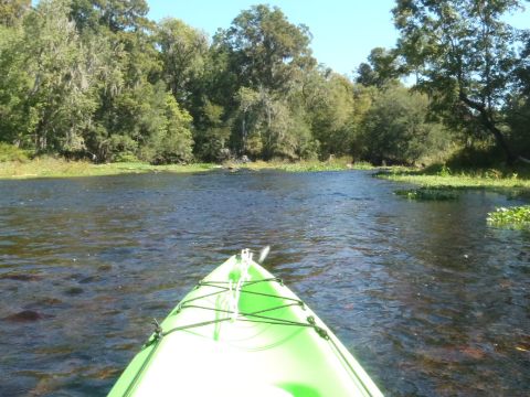
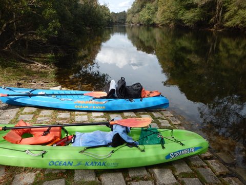
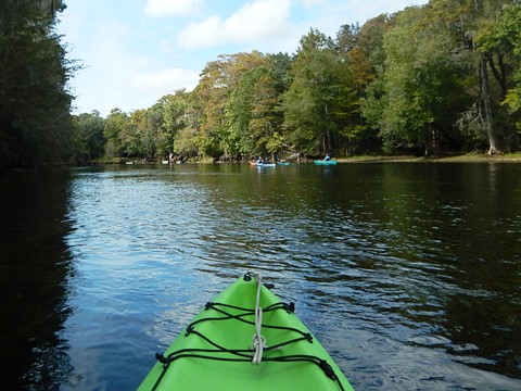
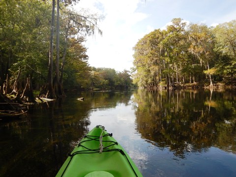
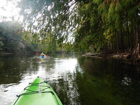
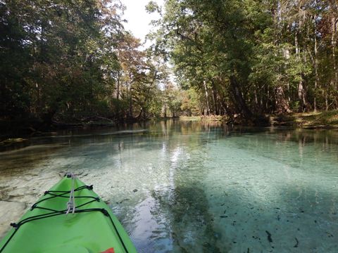
Next, the 10 miles between US 27 and SR 47 is perhaps the prettiest part of the river. It's also the most popular with paddlers and tubers, due to a number of larger springs including Poe, Lily, Jonathan, Rum, and Gilchrist Blue. If possible, paddle this section on a weekday to avoid weekend crowds.
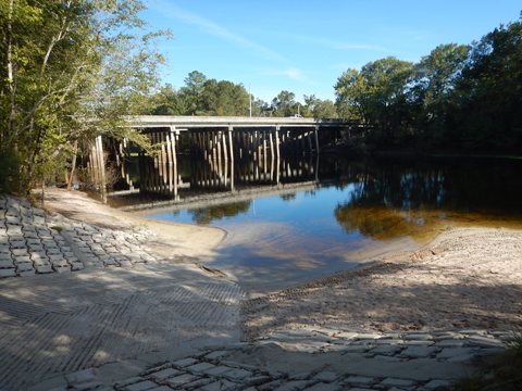
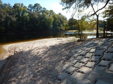
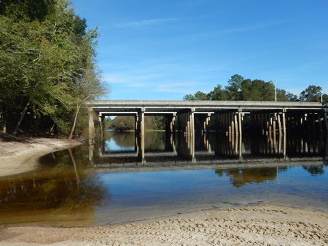
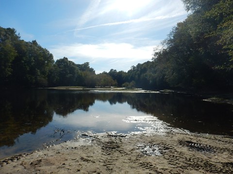
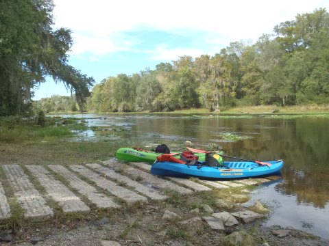
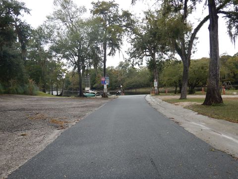
US 27 Launch to Poe Springs County Park
The public boat ramp is located on the northeast side of the US 27 bridge, with parking and a easy launch. This is a very nice section, with numerous springs increasing the water clarity. Paddlers may encounter some pull-overs during low water, but not nearly as often as when paddling downstream from the High Springs boat ramp upriver. This is why outfitters typically recommend beginning downstream trips here.
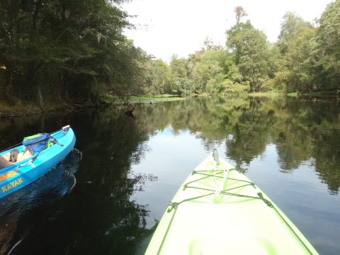
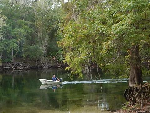
Poe Springs County Park to Gilchrist Spring State Park
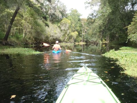
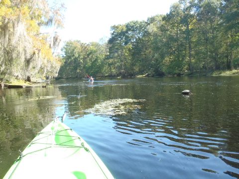
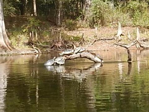
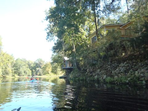
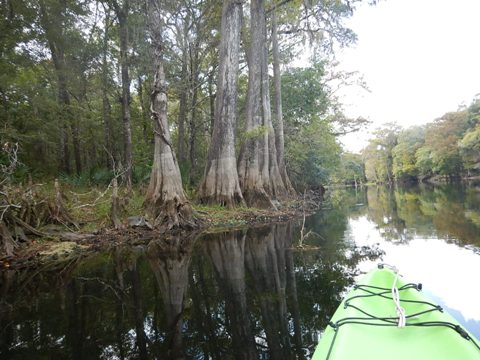
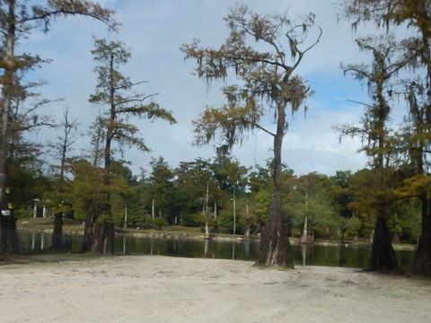
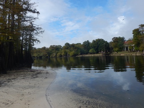
The trip is about 2.5 miles from Poe Springs Park to the Gilchrist Spring run. It's an easy paddle downstream. But when paddling upstream and back, some larger springs feeding in here creates some heavier current and a more strenuous paddle. We saw lots of turtles and being on a weekday, not many other paddlers. There are some homes along the shoreline. (Trip report: November 2019)
Poe Springs County Park to Rum Island Springs County Park
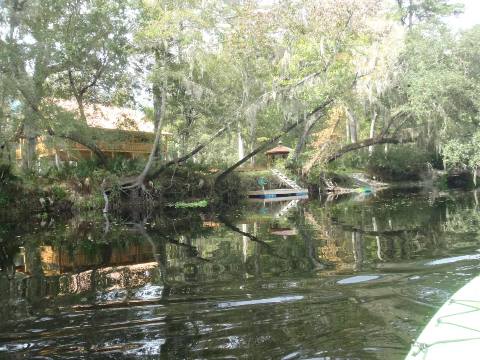
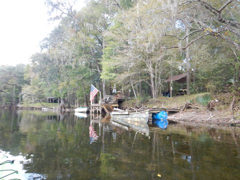
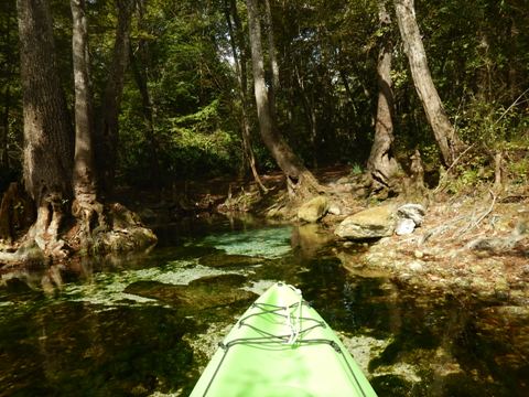
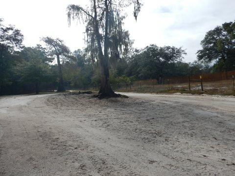
Poe Springs County Park is on the south side of the river, about 1/2 mile off SR 236. County park fee applies. Parking, restrooms, picnic, hiking, playground and playing fields are available. The boat ramp is easy on and off. At Lily Spring in this section, local legend "Naked Ed" was caretaker for many years, unfortunately no longer there due to health issues. Several others springs feed the river. Some can be paddled into. The kayaking is exceptional in this area.
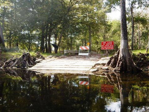
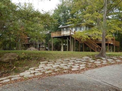
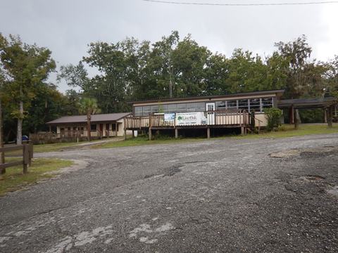
Rum Island Springs to Gilchrist Blue Spring State Park
Rum Island Springs County Park is closed for renovation, re-opening in 2020. By car, it's on the north side of the river 1.5 miles off CR 138. The park being closed, we visited the outfitter Rum 138 nearby. Located at the mid point of the Santa Fe, Rum 138 offers rentals, shuttles, and tours, plus it has a cafe, gift shop and art gallery on premises. Gilchrist Blue Spring State Park is a very short distance downstream and across the River from Rum Island.
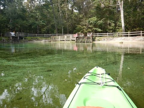
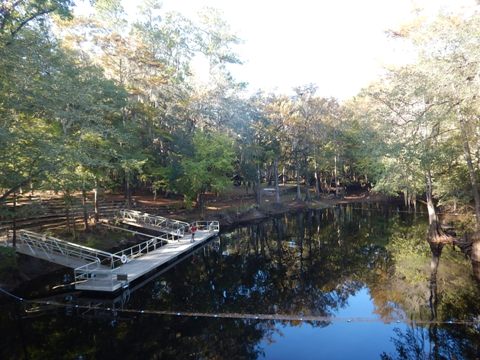
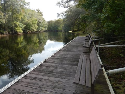
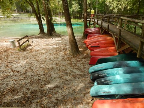
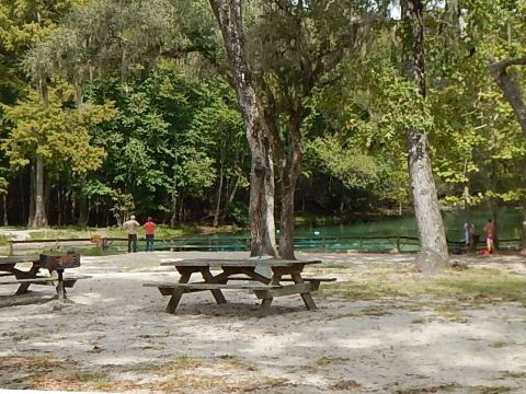
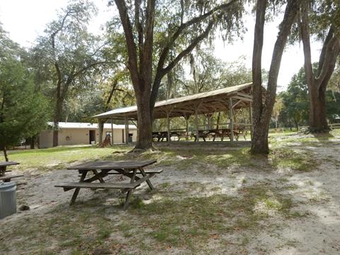
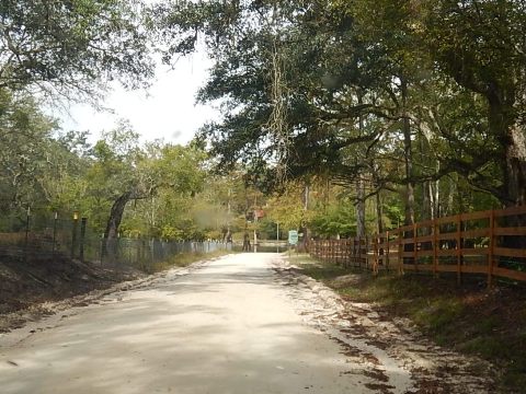
Gilchrist Blue Spring State Park
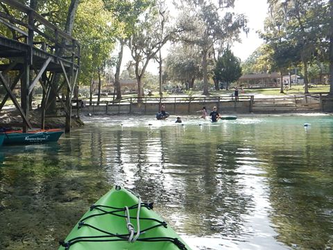
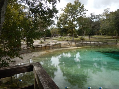
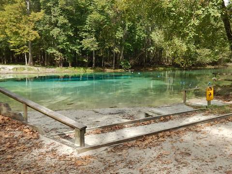
On the south side of the river, about 3/4 mile off SR 236. State Park fee applies. Previously private, now Florida's newest state park, Gilchrist Blue Spring State Park is great location for paddling, with some larger springs nearby. The 1/4 mile spring run to the Santa Fe is notable, beautiful crystal-clear turquoise water. The launch is a short walk from the parking area, wheels would be useful if bringing your own vessel, or an outfitter is on site for rentals and shuttle. Parking, restrooms, picnic. Park activities include paddling, snorkeling, swimming, camping, hiking.

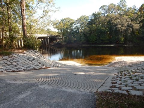
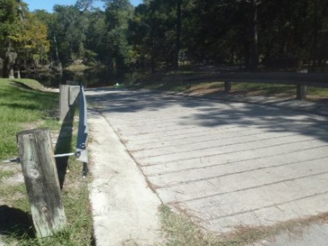
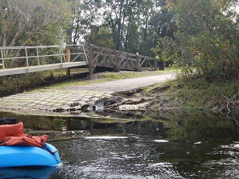
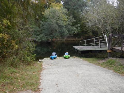
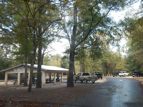
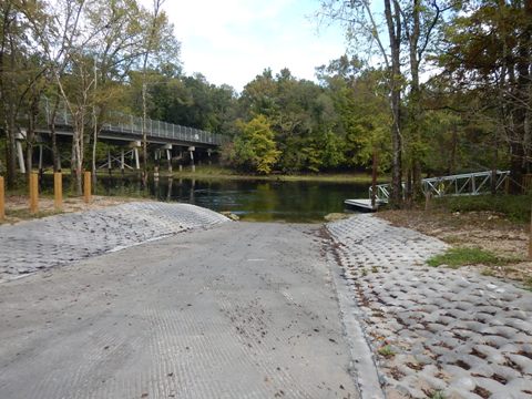
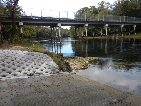
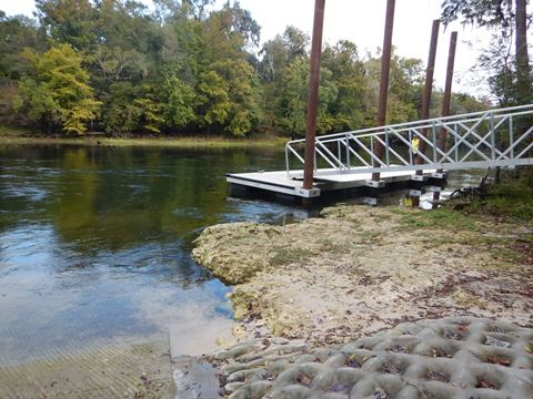
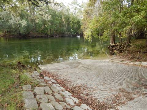
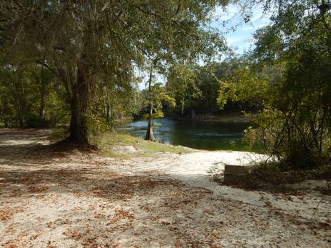
Gilchrist County Santa Fe River Park
Public, no fee. Gilchrist County Santa Fe River Park (not to be confused with Gilchrist Blue Spring State Park above) is further downstream, on the south side of the river at the SR 47 bridge. The park has parking, picnic tables/pavilion, port-a-let, hiking trail, dock. Recently renovated, ramp and pavements in good condition.
Santa Fe River - Lower
SR 47 to Suwannee River
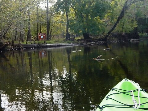
In the 13 miles between SR 47 and US 129 (where Designated Paddling Trail ends), springs continue to feed the river, as it gradually widens and deepens, becoming popular for fishing. Sections of riverfront are protected Environmental and Conservation Areas, good spots for landing and stretching during longer trips. After the Ichetucknee River joins the Santa Fe, motorboats and jet skis become more common. From the US 129 bridge, the last two miles to the Suwannee is wider and on weekends especially, can be crowded with motorboats.
Hollingsworth Bluff Boat Ramp
Public, no fee. Parking, boat ramp. On the north side of the river, about 1/2 mile on Hollingsworth Rd. off SR47. Across from the ramp is the mouth of Cow Creek which drains into the Santa Fe. Scenic section, several homes along the riverbank here.
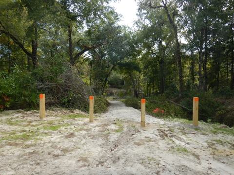
Ira Bea Landing
Located on south side of river, dirt parking aside NE 2nd Way, about 2.5 miles off CR138. Public, no fee. Not easy to spot, about 1/10 mi. past entrance to the Fort White Wildlife and Recreation Area, look for painted wooden poles marking path to river. A 250 foot carry to the beach.

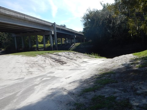
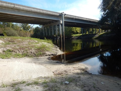
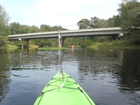
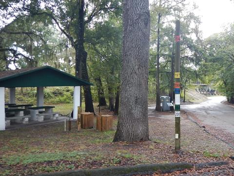
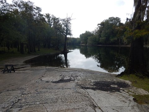
Guy Lemmon Memorial Park
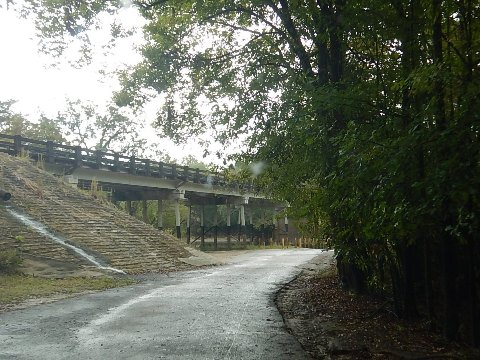
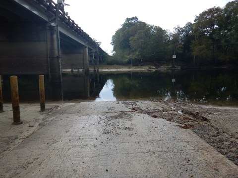
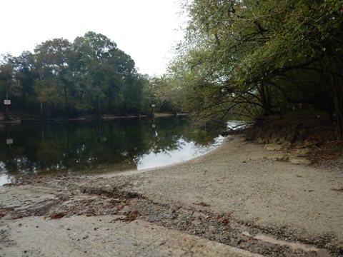
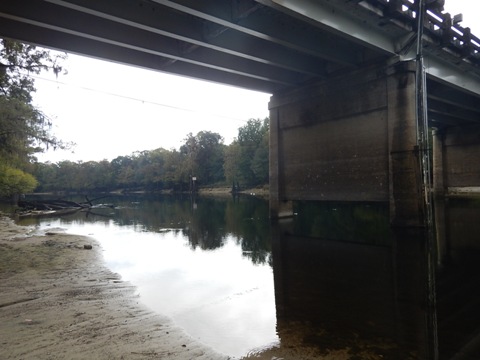
County park, no fees. Guy Lemmon Park on the north side of the river at the US 129 bridge, the end of the Designated Paddling Trail. The river was low but navigable, a pole in the park displays high water marks. The ramp was rough (flooding damage?) but useable, or launch from sandy area. Parking, picnic tables/pavilion, portalet.
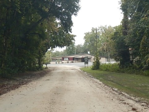
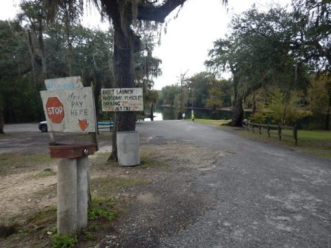
Sandy Point Campground
Private enterprise, parking, launch fee. On north side of the river, from Guy Lemmon Memorial Park, follow 296th St. to 59th Drive. The property has campground, motel and restaurant. Boat ramp was in disrepair, but a large sandy area (at low water) provides for an easy hand launch. It was off-season and we saw no one on site to get more information.
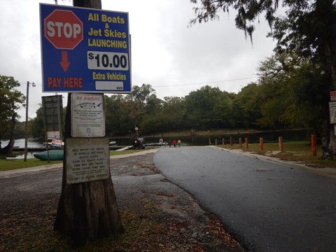
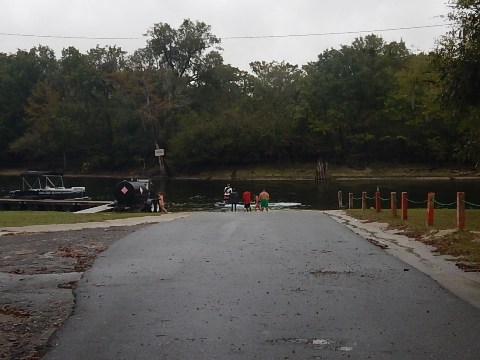
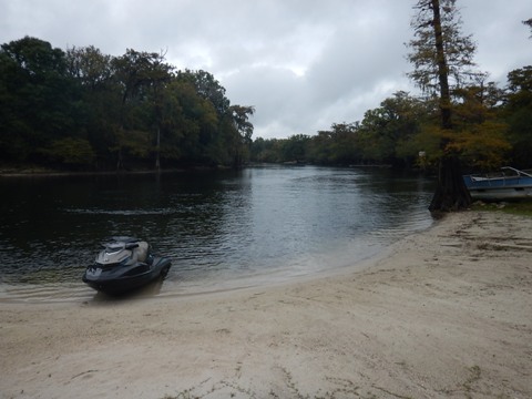
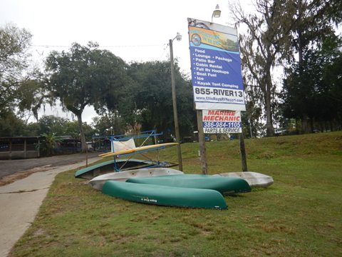
Ellie Ray's Resort Boat Ramp
Private enterprise, launch fee. On the south side of the river, about 1/2 mile off US 129. Ellie Ray's Resort has RV and primitive camping, cabins, lounge, pool, dock. There was a group with jet skis, no paddlers observed, although kayaks and paddleboards were available to rent. We didn't notice any staff on site to ask for further information.
Santa Fe/Suwannee Launch
Public, no fee. A wide, unpaved launch on the south side of the Santa Fe River, about 1.25 miles off US 129. The launch is a short distance from the juncture with the Suwannee. Sandy beach area makes for easy hand launching. No amenities.
More Information and Resources
Nearby Paddling:
Lower Suwannee River
Ichetucknee River
See FL North Region for more paddling
Nearby Biking:
Suwannee River Greenway
Ichetucknee to O'Leno Trail
Related Resources:
Florida Office of Greenways and Trails-Santa Fe River Paddling Trail (.pdf)
O'Leno State Park
Ruth B. Kirby
Gilchrist Blue Spring State Park
View great paddling by FL Region or Listed A - Z

PaddleFlorida.net... Find Florida's Best Recreational Paddling,
by Kayak, Canoe, and Paddleboard too.
Copyright © PaddleFlorida.net. All Rights Reserved. Paddle Florida®