Paddle Florida®
Over 100 Florida Paddling Destinations
E-Z Maps... Photos... Reports...
You are here > Home >
South Florida >
Rookery Bay >
Shell Point Paddling Trail
Trip report: December 2016
Rookery Bay Reserve...
Shell Point Paddling Trail
Shell Point Paddling Trail was created by the Friends of Rookery Bay at the lagoon at the end of Shell Island Road. Mostly an easy paddle, there are some narrow sections through the mangrove that require some manuevering. (Detailed map and photos below.)
Distance: 2 miles
Location: Collier County
Difficulty: East to Moderate
Tidal: Yes
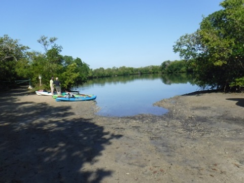
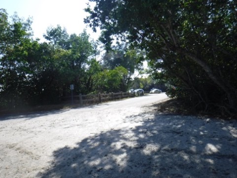
Launch points: End of
Shell Road (See map)
Nearby points of interest: Marco Island, Naples, The Everglades
Rentals/Outfitters/Tours:
Adventure Paddle Tours (tours)
Rising Tide Explorers (rentals/tours)
Rookery Bay National Estuarine Aquatic Reserve (tours)
Support and Advocacy:
Page Summary:
- Paddling at Rookery Bay Reserve - Shell Point
- Shell Point Paddling Trail
- Side creek - More Information and Resources
Paddling at Rookery Bay Reserve - Shell Point... Comments and Photos
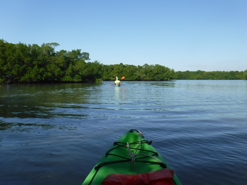
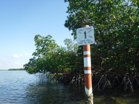
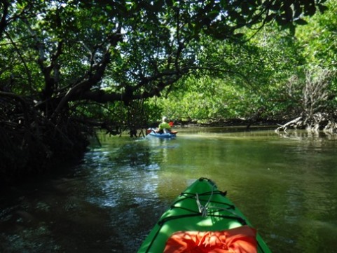
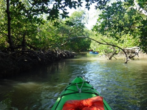
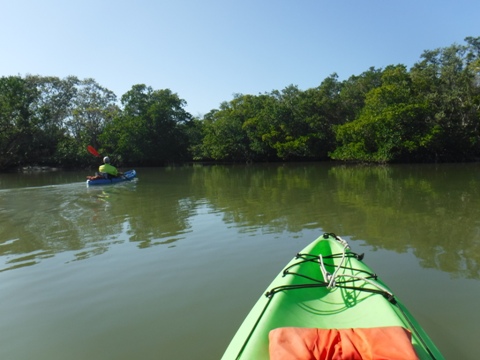
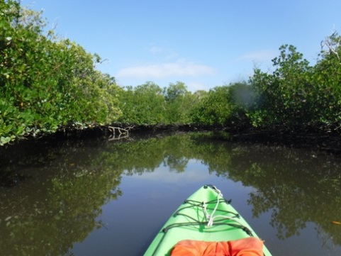
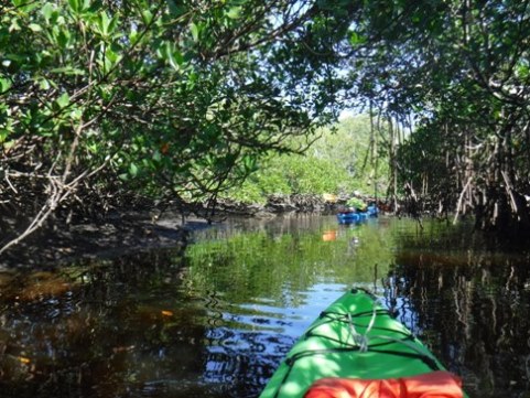
18 markers line the trail - we highly recommend following the markers as it would be very easy to get lost in the mangrove. Paddling against the incoming tide was especially challenging through some narrow channels in the mangrove.
Shell Point Paddling Trail
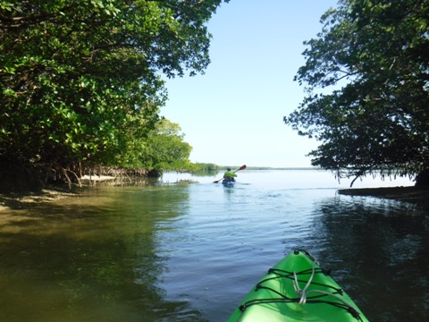
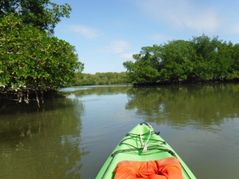
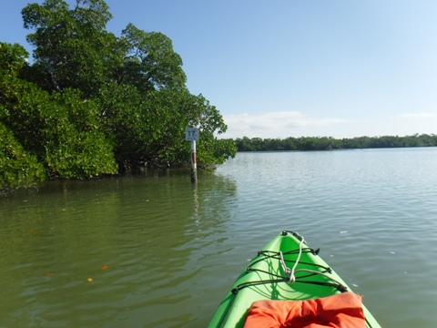
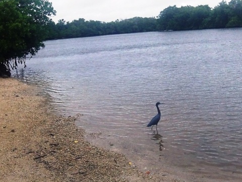
We launched from the end of Shell Island Road and paddled the designated Paddling Trail developed by the Friends of Rookery Bay. We also spotted some dolphins.
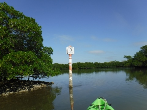
Launch to marker #3
Paddle through a lagoon to the Bay. On the Bay, bear right past the boat tour dock; look for the trail markers. Toward marker 2, wide bay.
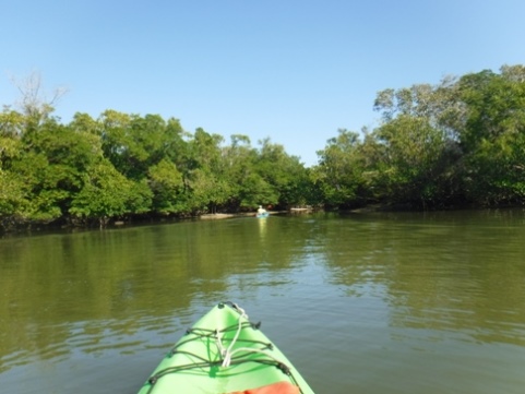
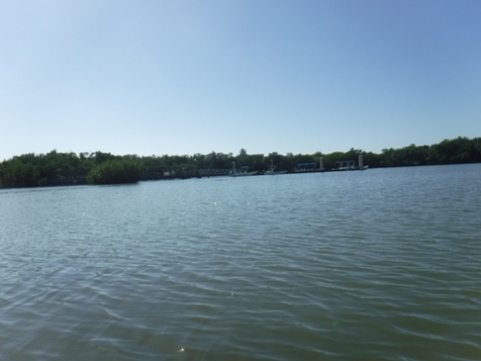
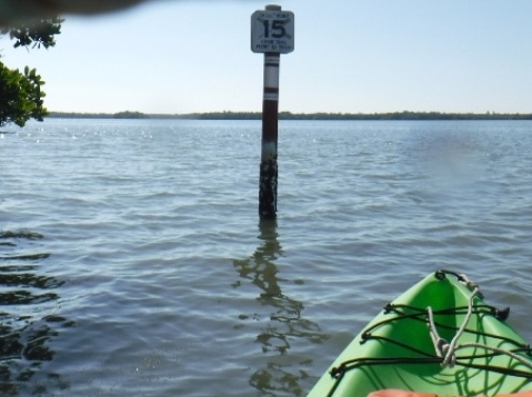
Markers #3-15
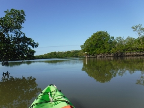
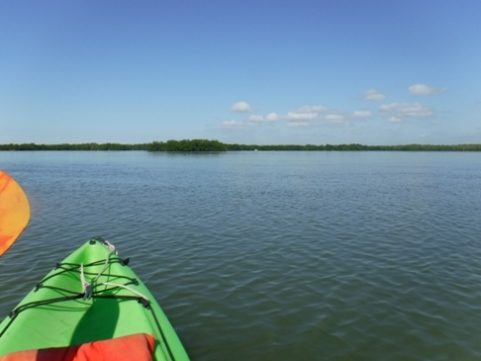
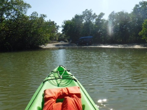
Marker #15 - return to launch
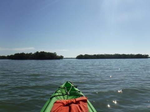
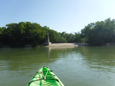
After marker 15, onto bigger water; the longer distances between markers make them harder to see. The Children's Column at Monument Point is a tribute recognizing the efforts of school children in the 1960's who helped raise funds for purchasing lands to preserve Rookery Bay against a road construction project.
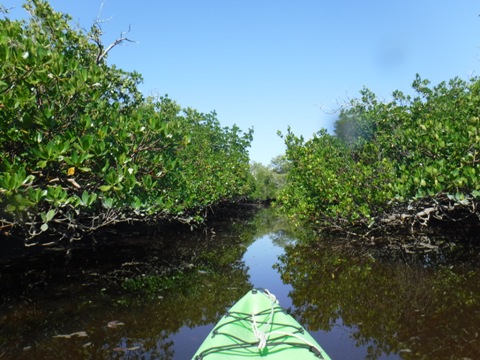
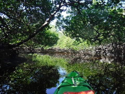
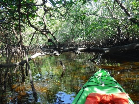
Side creek off the paddling trail
Look for the mouth of the creek between trail markers #7 and 8, this was a pleasant diversion. Narrow and mostly shaded through mangrove. The creek started fairly wide, getting narrower and with more obstacles before petering out.
More Information and Resources
Nearby Paddling:
More Rookery Bay (Overview)
Marco Island
Kayaking in Everglades National Park (Overview)
Great Calusa Blueway (Overview)
See FL South Region
for more paddling
Related Resources:
View great paddling by FL Region or Listed A - Z

PaddleFlorida.net... Find Florida's Best Recreational Paddling,
by Kayak, Canoe, and Paddleboard too.
Copyright © PaddleFlorida.net. All Rights Reserved. Paddle Florida®