Paddle Florida®
Over 100 Florida Paddling Destinations
E-Z Maps... Photos... Reports...
You are here > Home >
West-Central Florida >
Peace River >
Lower Peace River
Trip report: December 2012
Peace River Paddling Trail...
Lower Section - Gardner to Arcadia, FL
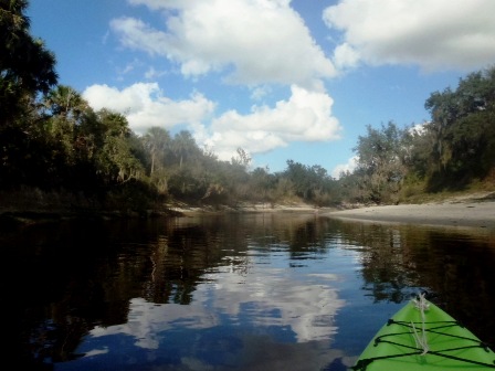
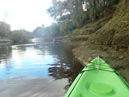
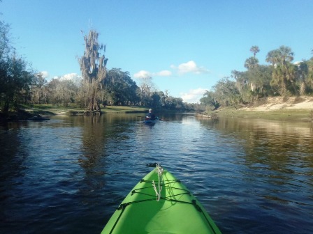
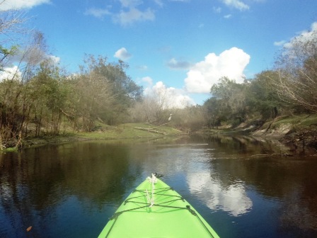
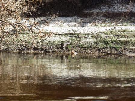
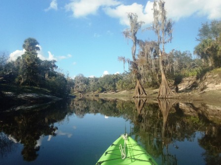
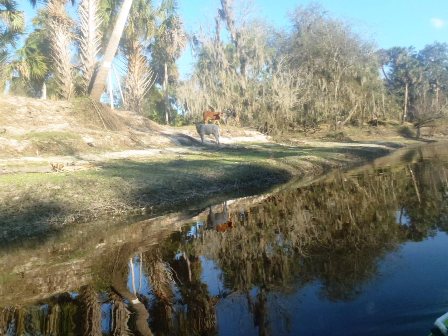
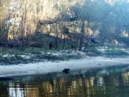
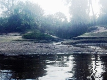
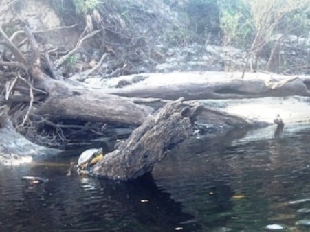
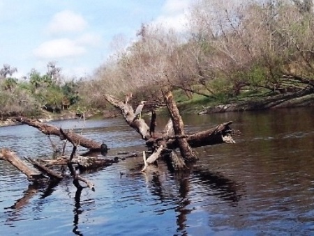
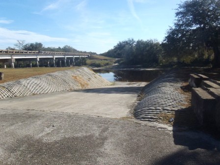
We paddled the lower river at Gardner and Brownville. Here the river is wider, with more straightaways than the upper river, good for kayak or canoe. We continued to see many birds. The limestone formations were of interest; water levels were low and we ran into several mini-rapids. Panning for shark teeth is popular in this section. While the river flows past pastureland (cattle are occasionally seen), the shoreline is frequently lined with cypress, pine, oak and willow; the sloping riverbanks provided many spots to pull off to stretch and picnic.
Location - Lower: Gardner to Arcadia
Difficulty: Easy to Moderate
Tidal: No
Launch points - Lower: Gardner boat ramp,
Brownville Park (Arcadia), DeSoto County Park (See map)
Continue to Lower Peace River below, or go to Overview page for more Peace River
Rentals/Outfitters/Tours:
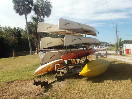
Canoe Outpost - Peace River (rentals)
Page Summary:
- Paddling on Lower Peace River
- Gardner Boat Ramp
- Brownville Park Boat Ramp - More In this Section
- Arcadia, Charlotte Harbor, Port Charlotte, Punta Gorda - More Information and Resources
Paddling on Lower Peace River... Comments and Photos
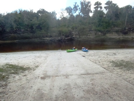
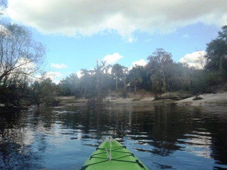
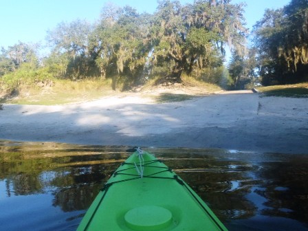
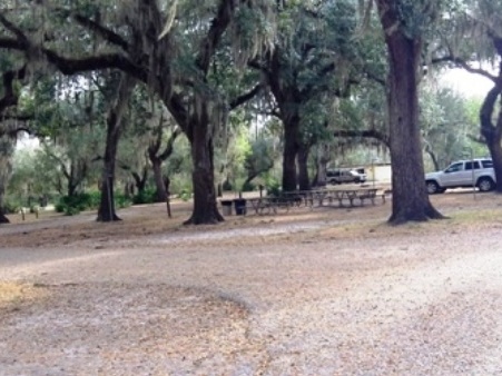
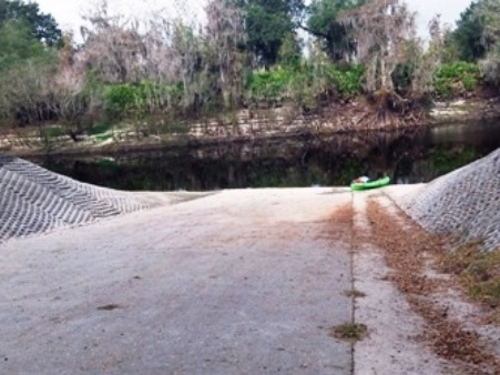
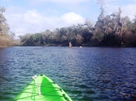
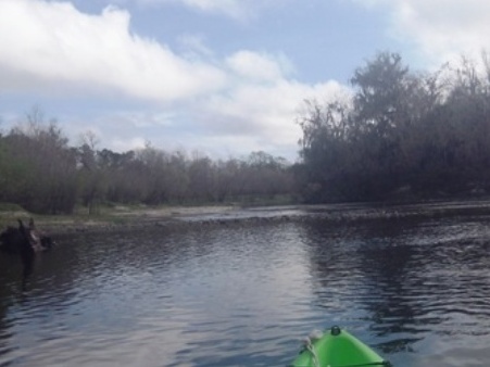
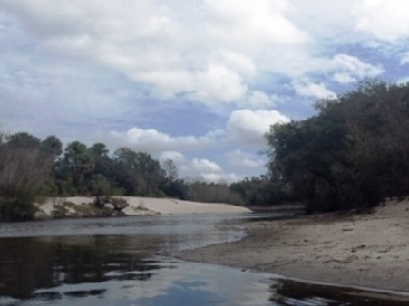
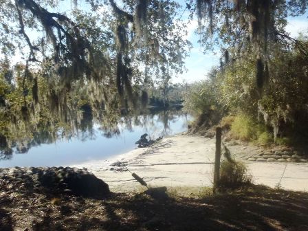
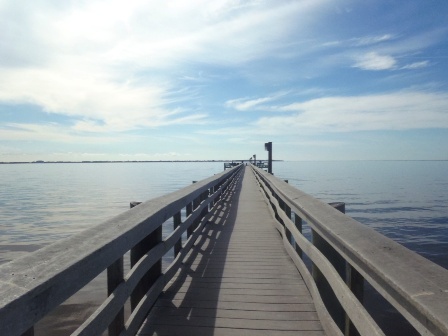
Gardner Boat Ramp
We paddled upstream about 3 miles. Water levels were low and the shoreline provided many spots to pull off to rest and picnic.
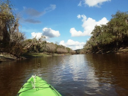
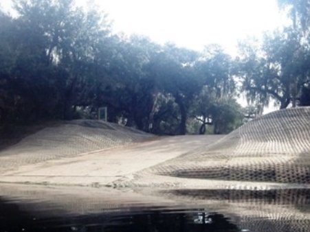
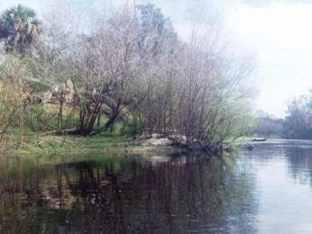
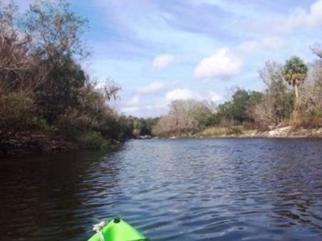
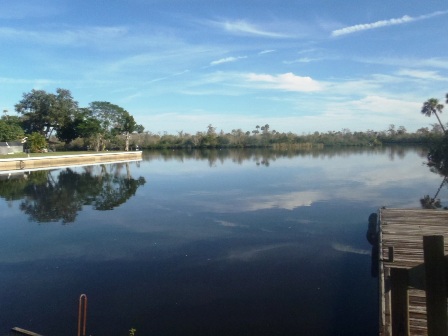
Along the River
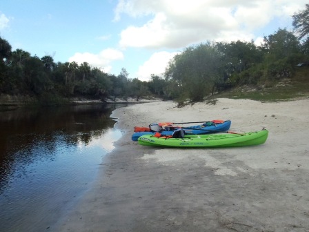
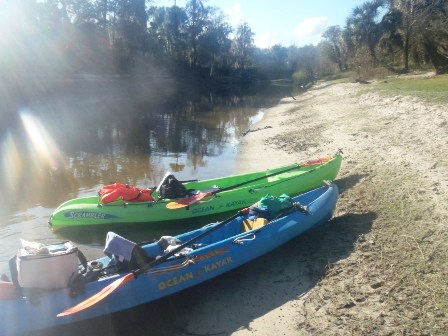
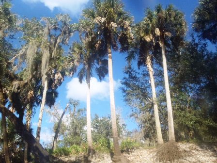
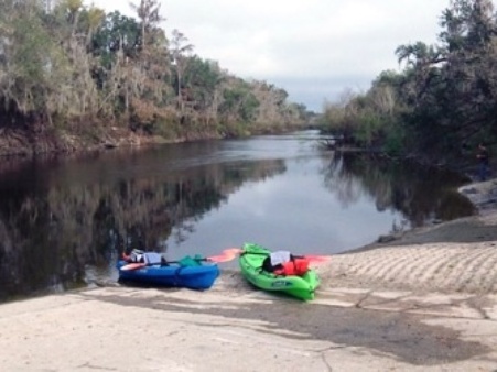
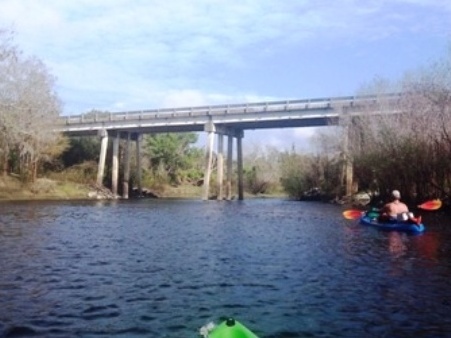
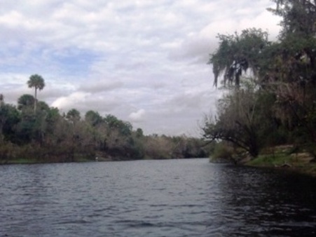
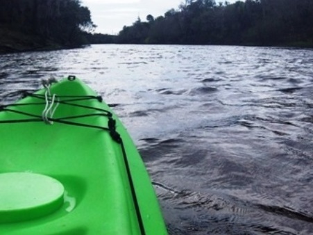
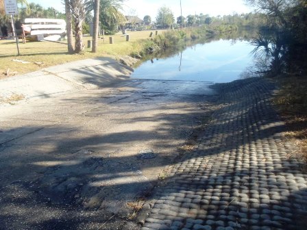
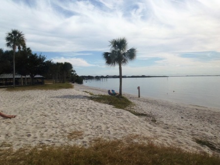
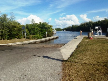
Brownville Park Boat Ramp
We paddled upstream about 3 miles from Brownville Park toward Gardner. Downstream, the river widened with many straightaways. A motorboat was launching to go downstream, upstream was too shallow for motors.
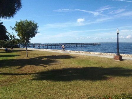
Brownville Park
More in this Section
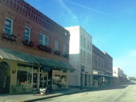
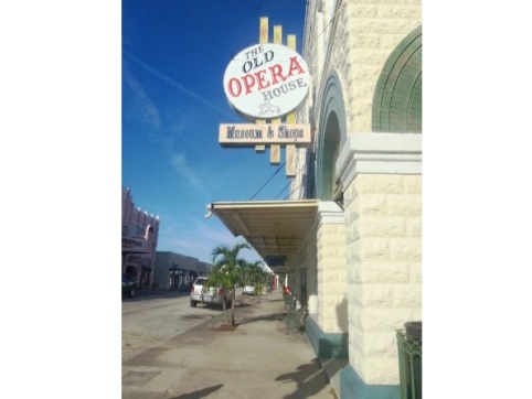
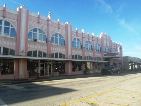
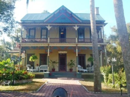
Arcadia, Florida
Arcadia, county seat of DeSoto County, has a quaint historic district dating from the 1880's.
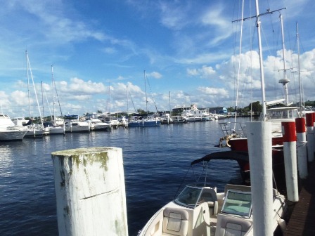
Charlotte Harbor, Port Charlotte and Punta Gorda
South of Arcadia and off the designated paddling trail, the Peace River flows into Charlotte Harbor at Port Charlotte and then into the Gulf of Mexico. Launches south of Arcadia are at Nocatee (CR 760) and at the Nav-a-Gator Grill (Old DeSoto Marina). The river is wider and deeper, popular with fishermen and with many motorboats.
South launches
More Information and Resources
Nearby Paddling:
Peace River Overview
- Upper Peace River
- Middle Peace River
- Lower Peace River
See FL West-Central Region
for more paddling
Nearby Biking:
Related Resources:
Florida Office of Greenways and Trails - Peace River Paddling Trail (.pdf)
View great paddling by FL Region or Listed A - Z

PaddleFlorida.net... Find Florida's Best Recreational Paddling,
by Kayak, Canoe, and Paddleboard too.
Copyright © PaddleFlorida.net. All Rights Reserved. Paddle Florida®