Paddle Florida®
Over 100 Florida Paddling Destinations
E-Z Maps... Photos... Reports...
You are here > Home >
Florida Panhandle >
Holmes Creek
Latest update: May 2022
Holmes Creek...
Paddling in the Florida Panhandle
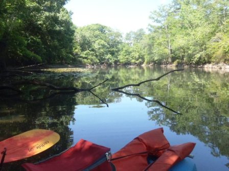
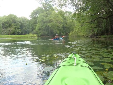
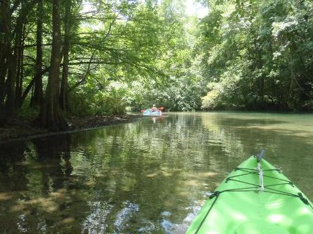
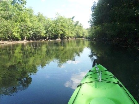
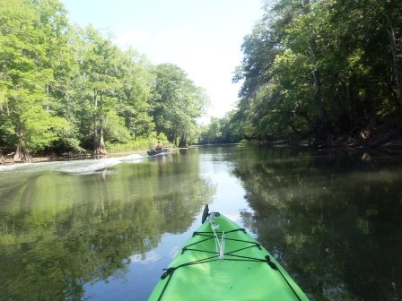
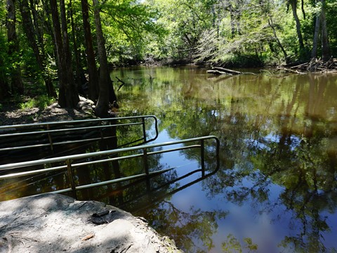
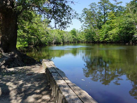
By kayak or canoe, Holmes Creek in the Florida Panhandle is a beautiful paddling run, spring-fed and mostly clear (except after heavy rain, when agricultural runoff muddies the water). The creek flows from near the Florida-Alabama border to the Choctawhatchee River; the 34-mile Holmes Creek Paddling Trail starts north of Vernon at Burnt Sock Landing, and extends to Cedar Tree Landing on the Choctawhatchee River. (Detailed map and photos below.)
Distance: 34 mile paddling trail
Location: Washington County (Vernon, Florida)
Difficulty: Easy to moderate
Tidal: No
Launch points: Burnt Sock Landing, Cotton Landing,
Culpepper Landing, Vernon Wayside Park, Fanning Branch, Brunson
Landing, Hightower Springs Landing, Spurling Landing, Live Oak
Landing, Shell Landing, Potter Spring Road Landing, Cedar Tree
Landing (See map)
Nearby points of interest: Panama City Beach,
St. Andrews State Park, Florida Caverns State Park
Rentals/Outfitters/Tours:
Holmes Creek Canoe Livery
(rentals, shuttle)
Old Cypress Canoe
Rentals
(rentals, shuttle)
Cypress Springs
Adventures
(formerly Snaggy Bend Outfitters) (rentals,
shuttle)
Page Summary:
- Paddling on Holmes Creek
- Between Fanning Branch Landing and Hightower Spring
- Live Oak Landing toward Spurling Landing - Landings on Holmes Creek
- Access Points 1-9 - About Holmes Creek's Springs
- More Information and Resources
Paddling on Holmes Creek... Comments and Photos
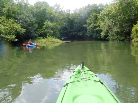
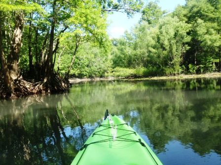
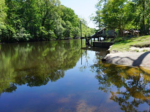
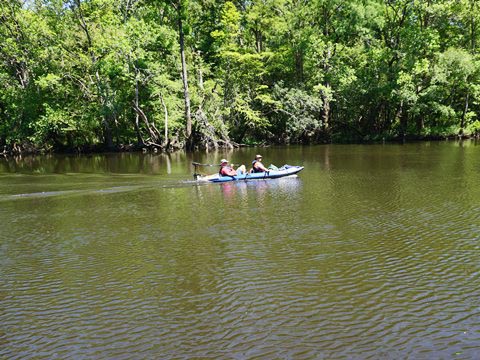
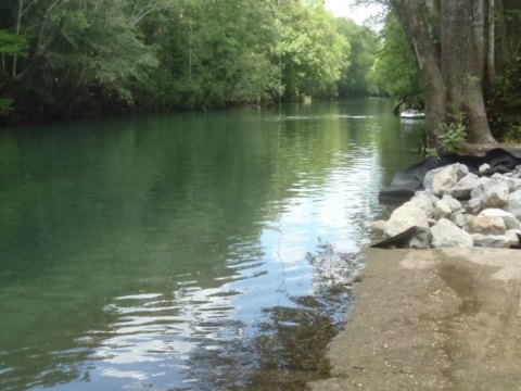
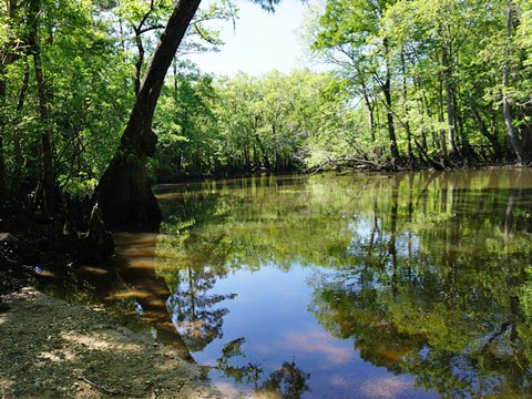
To the north the river can be more difficult to paddle due to high banks and sand bars, but at Vernon it opens up and is an easy paddle with a slow current and clear water. The landings provide good launches, and some have facilities. You may see motorboats near the boat ramps, but generally kept to a minimum by shallow water and deadfall. With many springs, the creek is very popular for swimming and snorkeling - avoid the summer crowds by visiting on weekdays and in cooler months (more information below). Other activities include fishing and birdwatching.
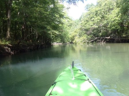
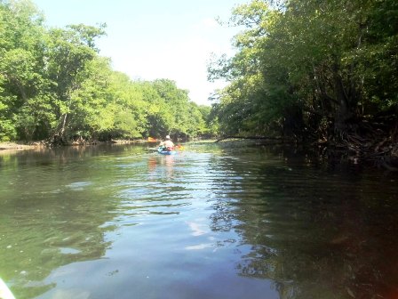
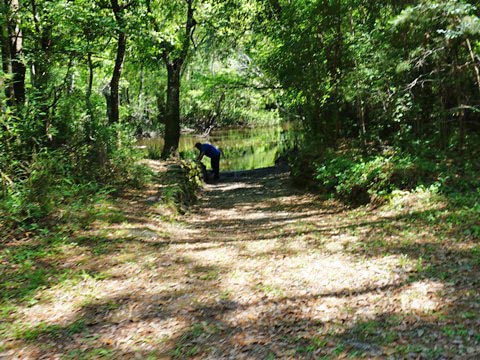
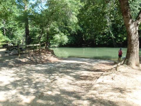
Between Fanning Branch Landing and Hightower Spring
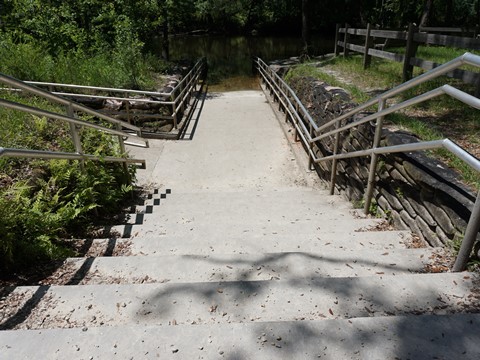
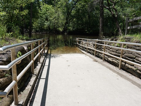
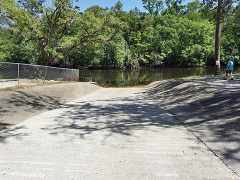
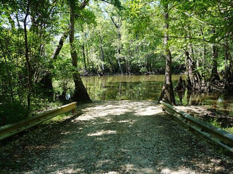
We paddled from Fanning Branch Landing downstream toward Hightower Spring, and return. The concrete boat ramp at Fanning Branch is easy on and off.
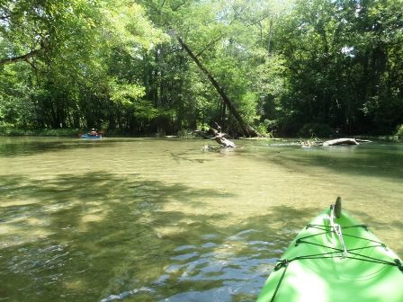
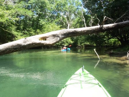
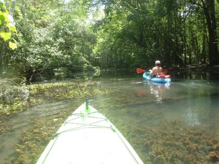
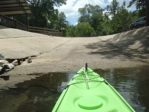
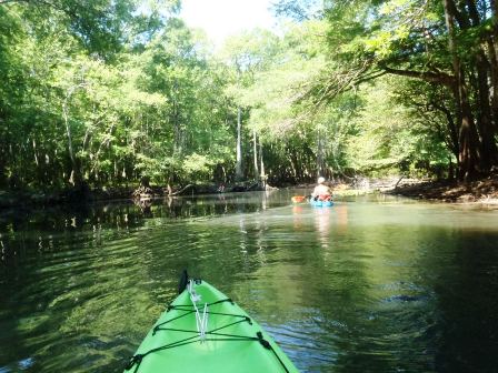
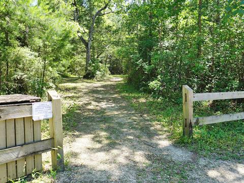
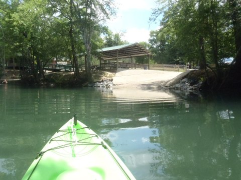
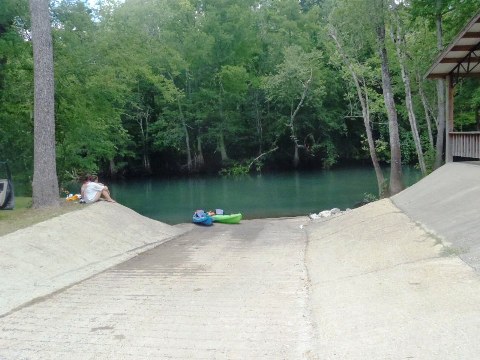
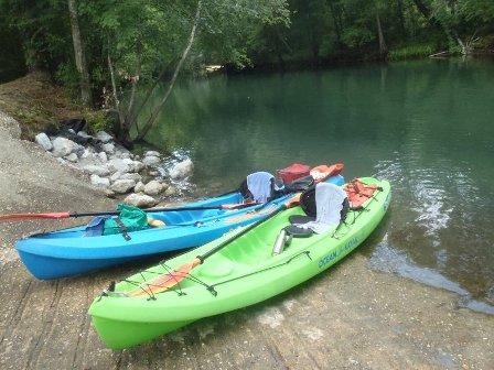
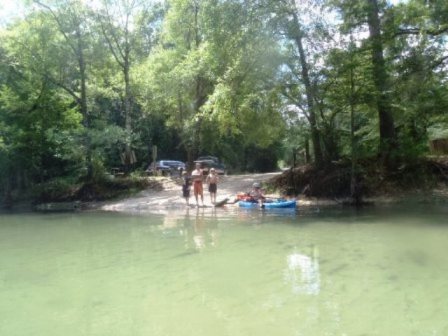
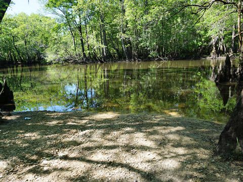
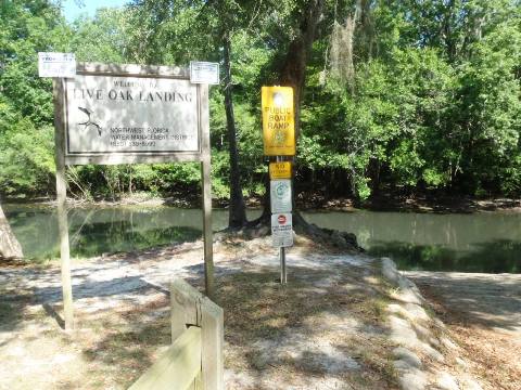
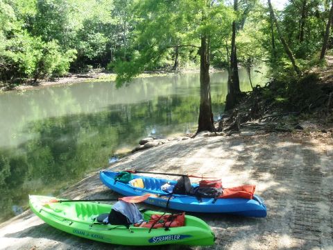
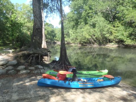
Live Oak Landing toward Spurling Landing
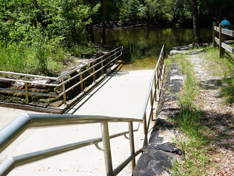
We launched at Live Oak Landing and paddled upstream toward Spurling Landing, and return. The boat ramp at Live Oak has a steep drop-off, not recommended for larger boats but great for launching a kayak!
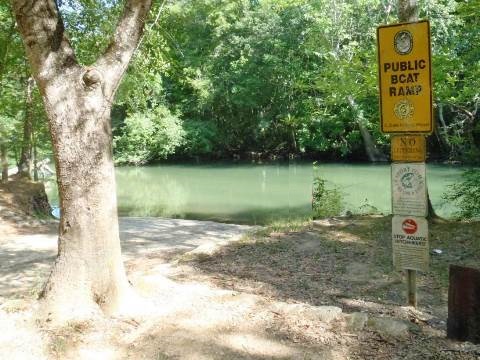
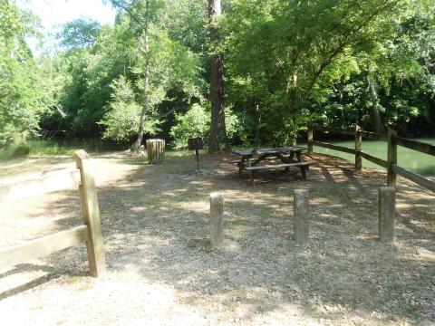
Landings on Holmes Creek
We've visited landings from start of trail at Burnt Sock Landing downstream, past Vernon to Live Oak Landing. Landings are shown from north to south. We'll add others on future trips.
Burnt Sock Landing - Access Point 1 (Trail starts)
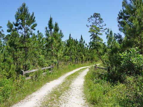
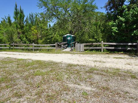
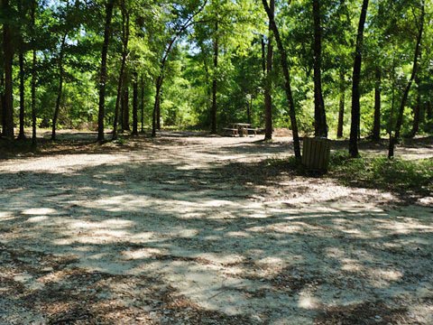
From Hwy 79, about 3.5 miles north of Vernon to Johnson Rd., then about 1.5 miles to the access road and 0.7 mile to the creek. Remote, not recommended for overnight parking (check with outfitters for drop-off). Unpaved hand launch (kayak/canoe/small boat), a 200-foot carry from parking area. Picnic tables, port-a-potty, parking.
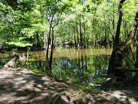
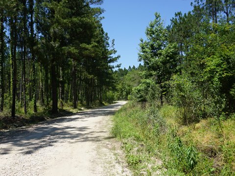
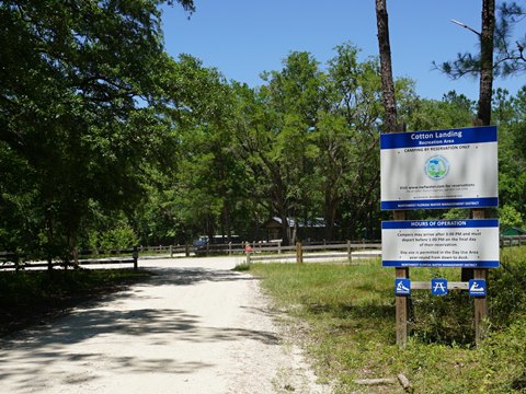
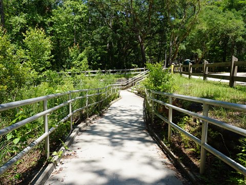
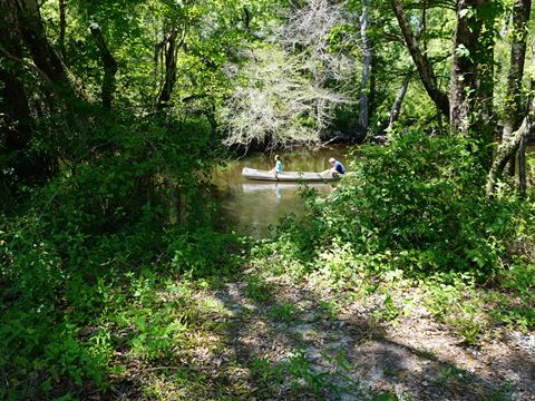
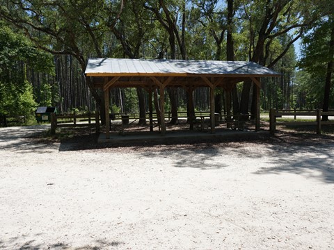
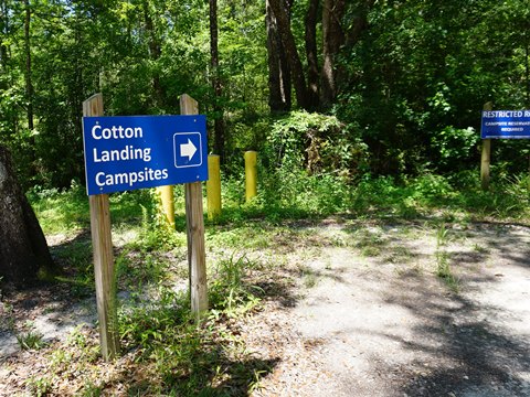
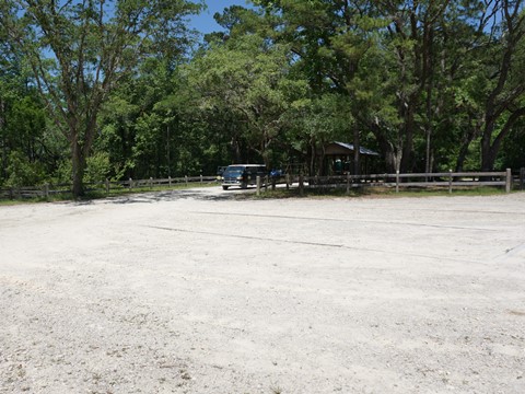
Cotton Landing - Access Point 2 (Mile 2)
Located 3 miles north of Vernon off CR277, one mile access road to the launch. Hand-launch paved ramp (small boat, kayak, canoe), ADA accessible boardwalk, covered picnic pavilion, port-a-potty, parking, campground. A short distance downstream is the scenic spring run to Cypress Springs - accessible only from the water.
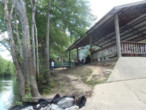
Vernon Wayside Park - Access Point 4 (Mile 5.5)
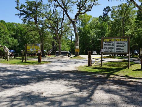
In Vernon, off SR 79. Easy on-and-off concrete boat ramp, kayak/canoe launch, picnic tables, port-a-potty, parking. Adjacent Holmes Creek Canoe Livery and Water Park.
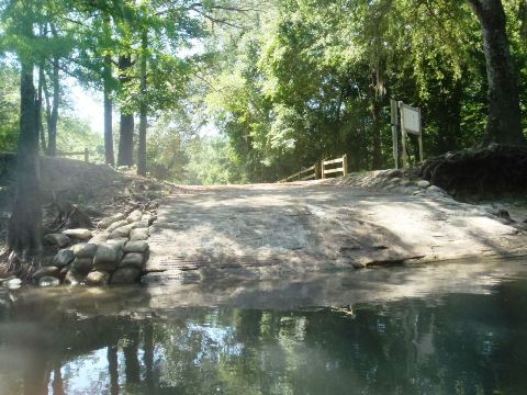
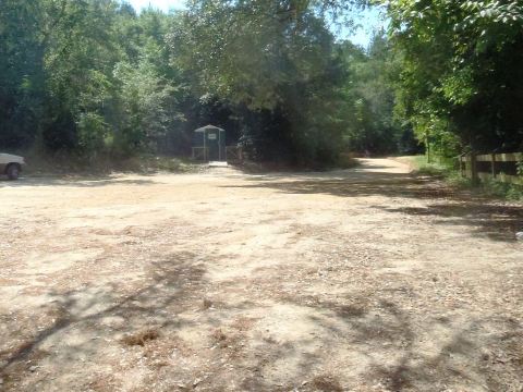
Hightower Springs Landing - Access Point 7 (Mile 11.5)
Along SR 79, 4 miles west of Vernon, then 0.5 mile access road. Concrete boat ramp, kayak/canoe launch, picnic tables, port-a-potty, parking. Boardwalk provides view of the spring.
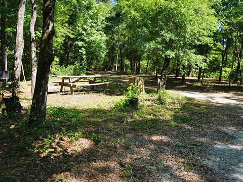
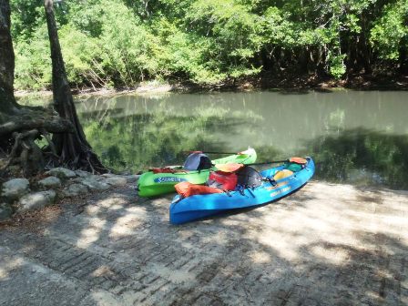
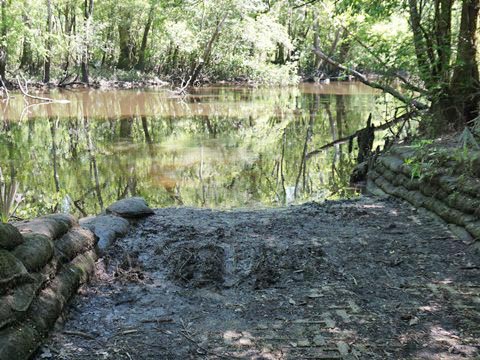
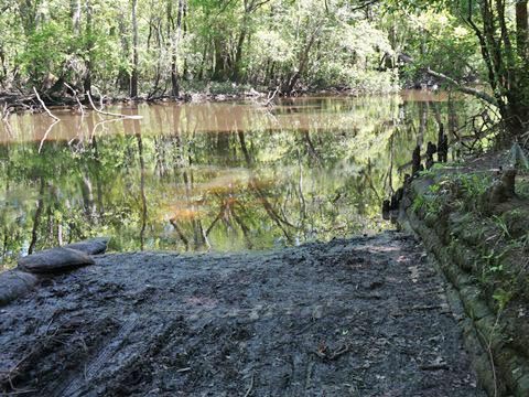
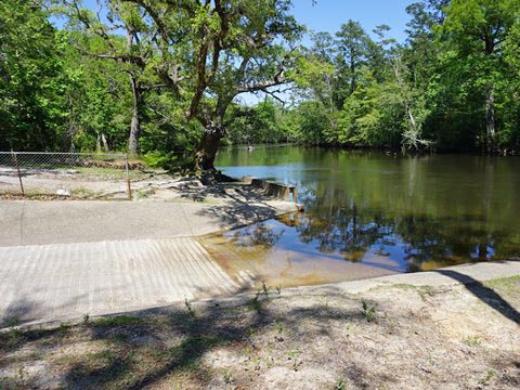
Live Oak Landing - Access Point 9 (Mile 21.5)
7.3 miles from Vernon along SR 79 to Millers Ferry Road, then 7.3 miles to Hammock and Live Oak Landing Roads for another 2.5 miles to the landing. Concrete boat ramp with a steep drop-off, kayak/canoe launch, picnic tables, port-a-potty, parking.
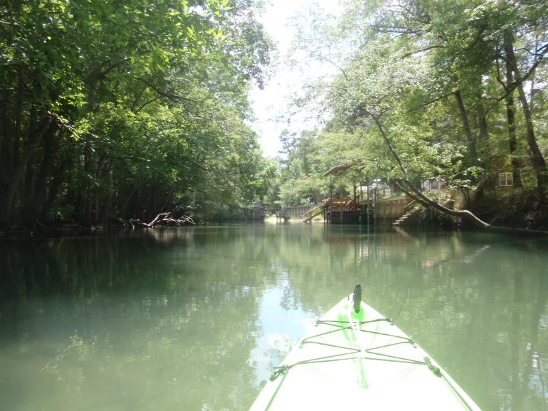
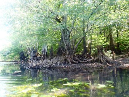
About Holmes Creek's Springs
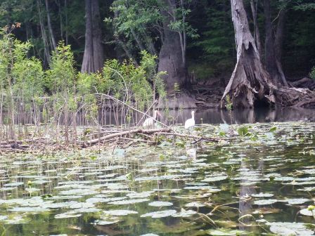
With more than 50 documented springs, the creek is a favorite for snorkeling and diving. Cypress Springs (about 3 miles north of Vernon) is the largest, a second-magnitude spring. Only accessible by water, the park around the spring is now in private hands and closed to the public. Nearby Beckton Springs and Magnolia Springs also feed the creek and are popular swimming and snorkeling sites. The abundant wildlife includes turtles, alligators, fish and birds such as blue heron, ibis, egrets, and woodpeckers.
More Information and Resources
Nearby Paddling:
See FL Panhandle Region for more paddling
Nearby Biking:
Timpoochee Trail
More bicycling in the FL Panhandle
Related Resources:
Florida Department of Greenways and Trails-Holmes Creek Paddling Trail (.pdf)
View great paddling by FL Region or Listed A - Z

PaddleFlorida.net... Find Florida's Best Recreational Paddling,
by Kayak, Canoe, and Paddleboard too.
Copyright © PaddleFlorida.net. All Rights Reserved. Paddle Florida®