Paddle Florida®
Over 100 Florida Paddling Destinations
E-Z Maps... Photos... Reports...
You are here > Home >
South Florida >
The Everglades >
Everglades City
Latest update: December 2022
Kayaking at Everglades City...
Chokoloskee Bay, Wilderness Waterway, and Everglades National Park
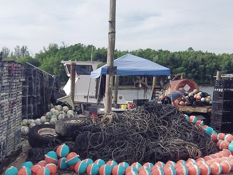
Everglades City is gateway to the Ten Thousand Islands National Wildlife Refuge, the 100-mile Wilderness Waterway, and to a portion of the Everglades National Park, offering many miles of kayaking, from short trips to week-long expeditions. Located at the mouth of the Barron River at Chokoloskee Bay, the city of about 400 people is a throwback to Old Florida. No chain hotels or stores, just as we like it. Dubbed as the "Stone Crab Capital of the World," there are several good restaurants - serving of course stone crabs, but also some of the best grouper sandwiches we've had. (Detailed map and photos below.)
Distance: varies
Location: Collier County (Everglades National Park)
Difficulty: Moderate to difficult
Tidal: Yes
Launch points: Everglades City, Chokoloskee (See map)
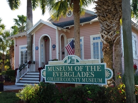
Nearby points of interest: Museum of the Everglades, Smallwood Store
(Chokoloskee), Everglades National Park, Big
Cypress National Preserve
Rentals/Outfitters/Tours:
Everglades
Florida Adventures
(park concessionaire, rentals, tours)
Everglades Adventures at the
Ivey House
(rentals, tours, shuttle)
Support and Advocacy:
National Park
Foundation
The Alliance for
Florida's National Parks
Friends of The Everglades
Page Summary:
- Paddling on Chocoloskee Bay at Everglades City
- Launches:
-- Gulf Coast Visitor Center (Everglades City)
-- Smallwood Dr. causeway at Chokoloskee
- Paddling on the Bay:
-- Chokoloskee Bay from Halfway Creek
-- Chokoloskee Bay to Turner River
- Everglades City
- More About the Wildlife Refuge and Waterway
- About Ten Thousand Islands National Wildlife Refuge
- About the Wilderness Waterway - More Information and Resources
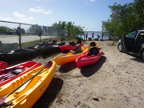
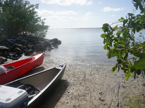
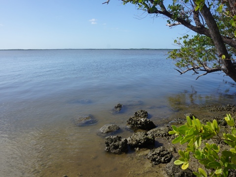
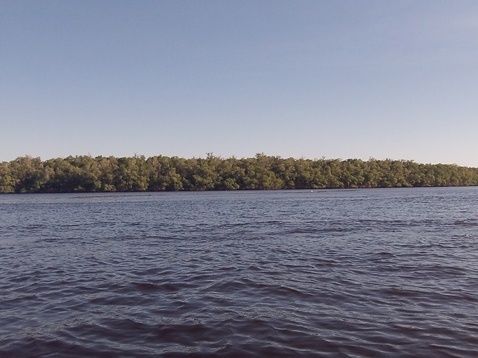
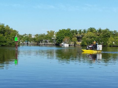
Paddling on Chokoloskee Bay at Everglades City... Comments and Photos
Due to this area facing directly onto the Gulf of Mexico, paddling is subject to changing weather conditions. The tides are strong, so checking a good tide chart is recommended. Check with the rangers at the Gulf Coast Visitor Center for information. Power boats and airboats are abundant on the Bay, so be careful.
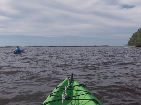
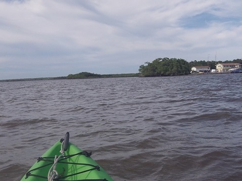
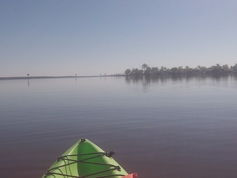
Paddling on Chocoloskee Bay
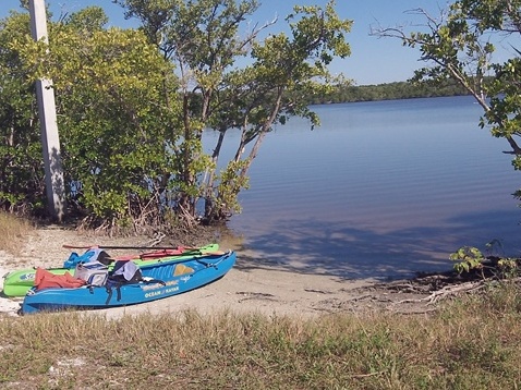
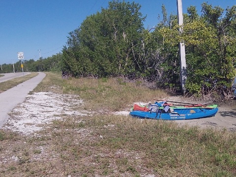
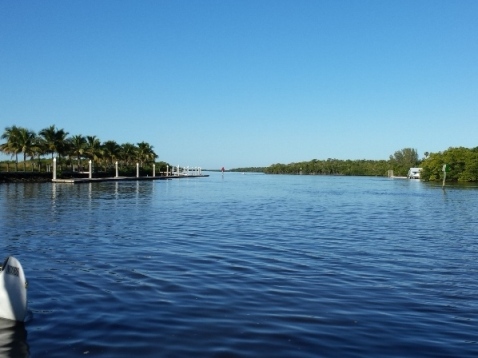
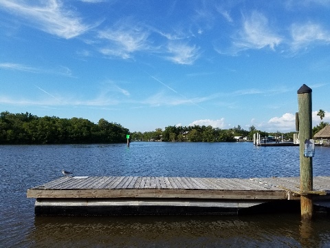
Launches
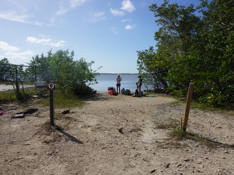
Launch from the Gulf Coast Visitor Center in Everglades City or at Chokoloskee.
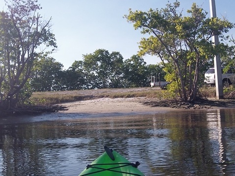
Paddling on Chokoloskee Bay
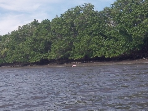
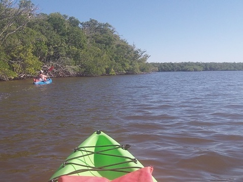
Also leaving from the Gulf Coast Visitor Center, the Sandfly Island Loop is a good mini-excursion for beginners, across Chokoloskee Bay, through the mangrove islands and return.
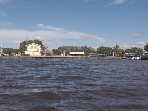
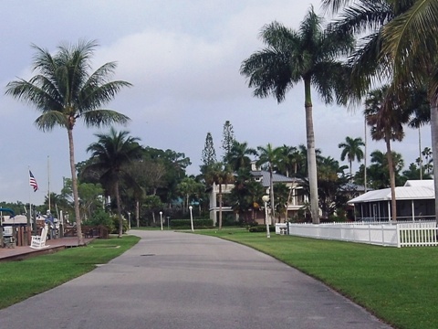
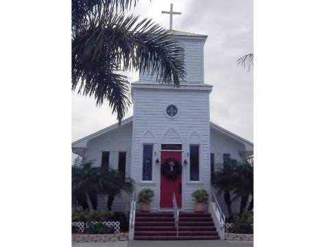
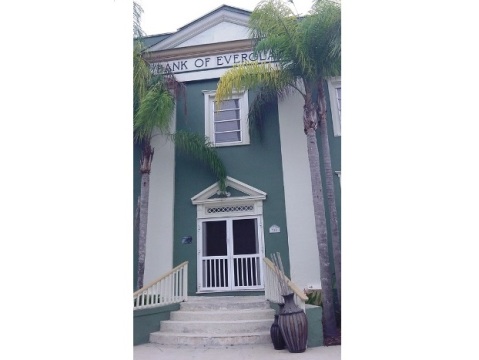
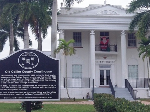
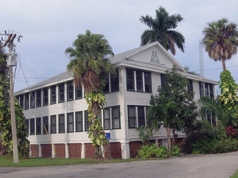
Everglades City
Everglades was founded in 1895 and served as the county seat of Collier County from 1923 to 1960. Extensive damage from Hurricane Donna in 1960 caused the county seat to be moved to East Naples. In 1965, Everglades became Everglades City. Several historic buildings still exist.
Everglades City
More About the Wildlife Refuge and Waterway
About Ten Thousand Islands National Wildlife Refuge:
Ten Thousand Islands National Wildlife Refuge extends north to Marco Island. It includes the largest mangrove forest in North America, and many of the "islands" are actually no more than clumps of mangrove. There are no navigational markers and preparation is important, the mangrove islands can all look alike and it's easy to get lost. When padding, good navigational skills, charts, compass and GPS are important.
About the Wilderness Waterway:
The 100-mile Wilderness Waterway extends south from Everglades City to Flamingo. This is literally a wilderness and recommended or experienced paddlers only. There are several routes, along the beach and backcountry - plan for at least 8 days to complete this trip. There are channel markers along the way, but nautical charts, compass, and GPS are recommended to avoid getting lost. Permits are required for camping and dependent on availability. See the National Parks Service Wilderness Trip Planner for details on obtaining permits and planning your trip.
More Information and Resources
Nearby Paddling:
Everglades National
Park (Area Overview)
See FL South Region
for more paddling
Nearby Biking:
Related Resources:
Everglades National Park -
Gulf Coast Visitor Center
National Park Service -
Big Cypress Paddling Trails
Florida State Parks
- Fakahatchee Strand Preserve State Park
View great paddling by FL Region or Listed A - Z
PaddleFlorida.net... Find Florida's Best Recreational Paddling,
by Kayak, Canoe, and Paddleboard too.
Copyright © PaddleFlorida.net. All Rights Reserved. Paddle Florida®