Paddle Florida®
Over 100 Florida Paddling Destinations
E-Z Maps... Photos... Reports...
You are here > Home >
North Florida >
Paddle Cedar Key
Latest update: October 2020
Kayaking at Cedar Key, FL
Paddling on Florida's Nature Coast... Map & Photos
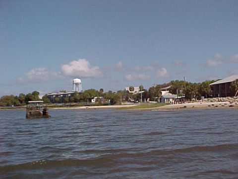
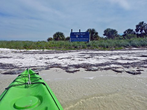
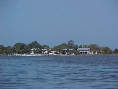
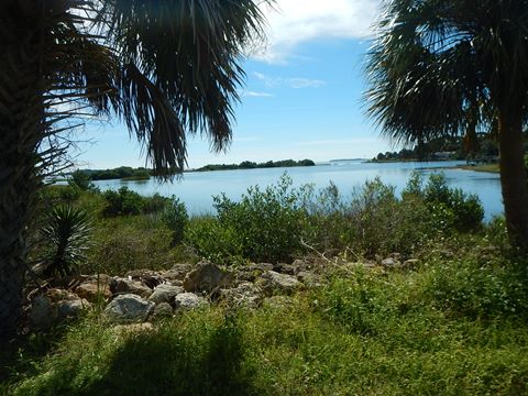
Cedar Key, listed on the National Historic Site Register, is often said to be what Key West was 50 years ago - a step back to Old Florida. The main island is surrounded by 13 smaller barrier islands in the Cedar Keys National Wildlife Refuge, offering many kayaking opportunities from open Gulf paddling to grass flats. Visit the historic downtown, or enjoy other activities including fishing and boating. Also, it's a great small town for biking (link below). The allure of Cedar Key is its out-of-the-way location. Time stands still here. It's one of a kind and we enjoy it. (Detailed map and photos below)
Distance: Varies, no designated trail
Location: Levy County. 50 miles southwest of Gainesville, 3
hours north of Tampa, and 3 hours west of Jacksonville; from US 19 turn west on
SR24 at Otter Creek
Difficulty: Easy to difficult (per wind and tide)
Tidal: Yes
Launch points: G Street beach, Cedar Key Marina; Shell Mound
(end of CR 326) (See map)
Nearby points of interest: Lower Suwannee National Wildlife
Refuge, Shell Mound archaeological site, Cedar Key Historical Museum, Cedar
Key Museum State Park
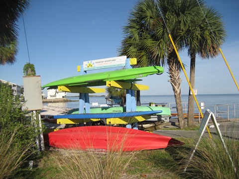
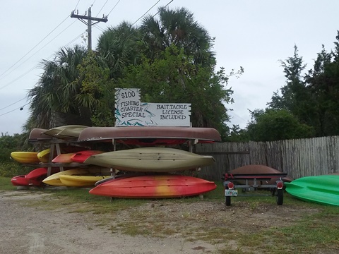
Kayak Rentals/Outfitters/Tours:
Cedar Key Adventures (rentals)
Cedar Key Paddling (rentals)
Some hotels also have canoes/kayaks available for guests.
Page Summary:
- Paddling at Cedar Key
- Launches - On the Gulf
- Kayaking to Atsena Otie Key - On the Bayous
- Gulfside to Back Bayou
- Launch along G Street to Airport/Gulf - Views of Cedar Key... by Land and Water
- Downtown Cedar Key
- Paddling past Dock St. - Nearby Kayaking Options
- Lower Suwannee National Wildlife Refuge, Shell Mound and Hog Island
- Freshwater Paddling: Waccasassa River, Wekiva River, Otter Creek - More Information and Resources
Paddling at Cedar Key... Comments and Photos
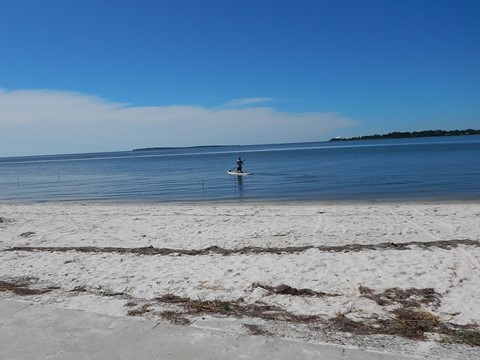
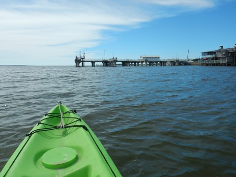
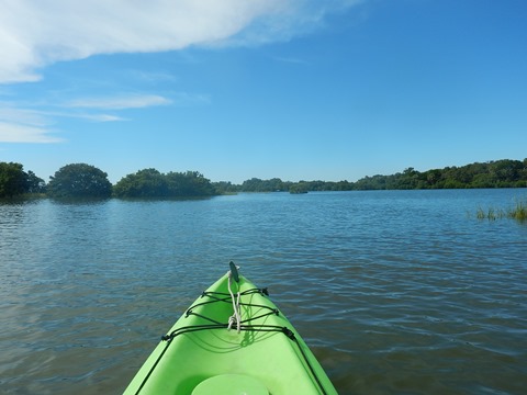
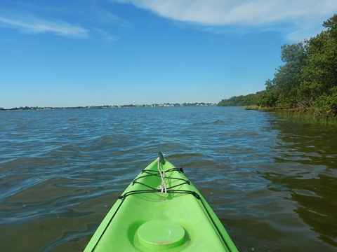
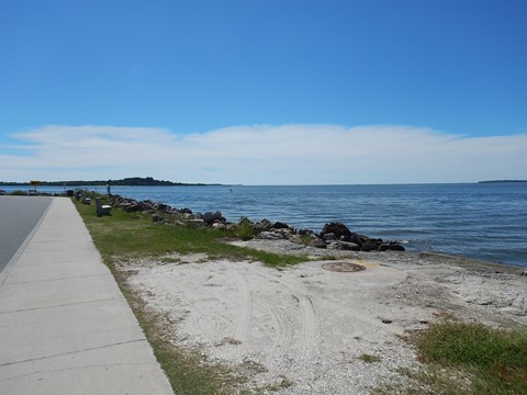
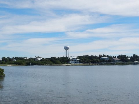
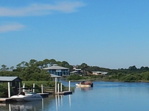
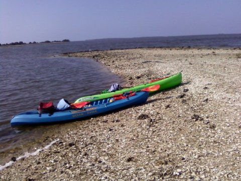
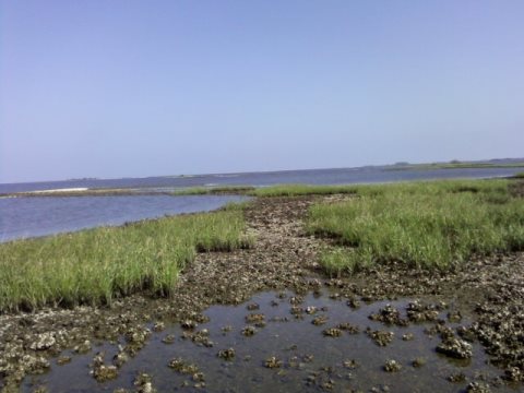
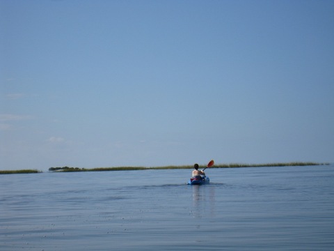
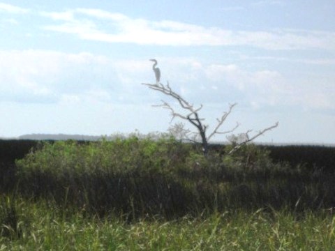
The open Gulf waters are especially popular with sea kayakers, and adventures can be had paddling up and down miles of unspoiled Florida coastline. However, most people stay close to Cedar Key, paddling to nearby surrounding keys, most often to Atsena Otie, which is the closest key and has some history. Other nearby destinations include North, Snake, and Seahorse Keys. This is kayaking on open water, subject to wind and tide, which need to be accounted for when venturing between keys. An occasional dolphin is usually seen. For more protected paddling, the shallow bayous that ring much of the town of Cedar Key may offer some protection. Kayak fishing, wildlife viewing, and photography are popular here. Due to the many oyster bars, most motor boats stick to the main channel, leaving the shallow flats to the kayakers. In the bayous, it's best to paddle on an incoming tide. Above all, avoid grounding far back in the shallows on an outgoing tide. Here we map out a few routes, but there are many others depending on your whim.
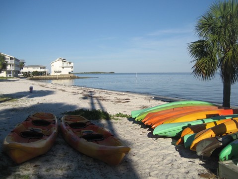
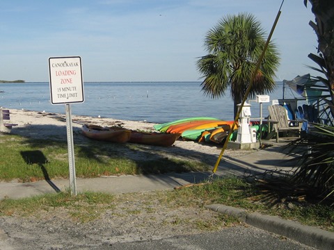
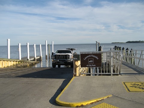
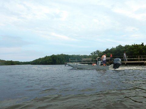
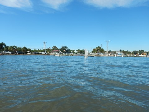
Launches
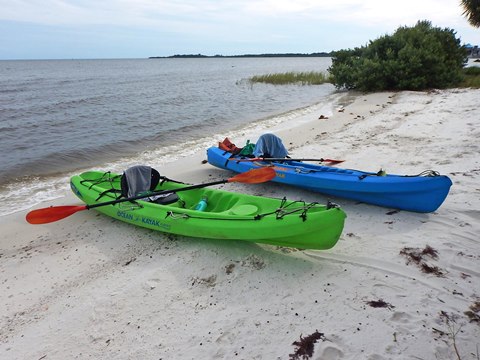
Public launches at City Park Beach (across from the Marina along G Street), and a boat ramp by the first Cedar Key Bridge and fishing pier along SR24 coming into town. Other launches may be offered by outfitters (one along SR24). Some condos and hotels have launches, but these are not officially open to the public.
On the Gulf
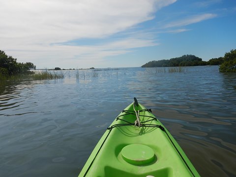
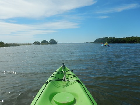
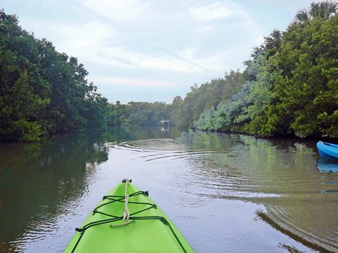
Kayaking to Atsena Otie Key
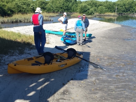
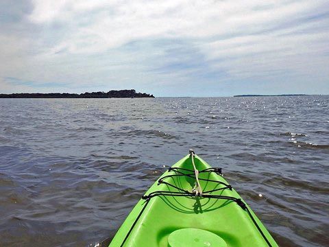
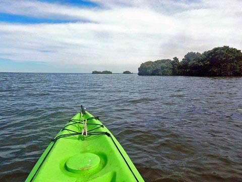
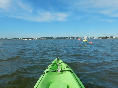
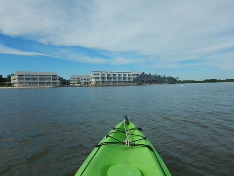
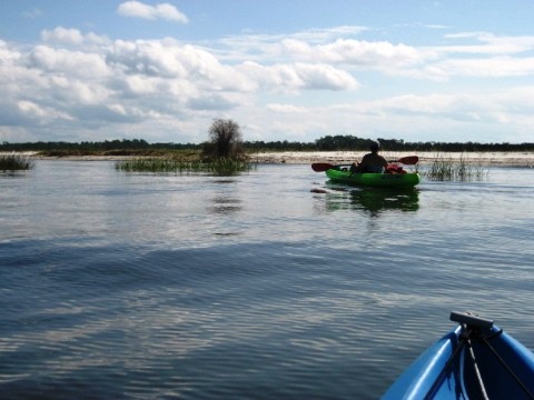
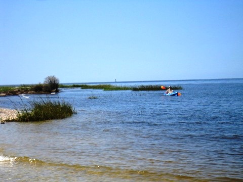
Atsena Otie Key is a popular kayaking destination, a 0.5 to 0.7 mile channel crossing, depending on launch. Some paddle to Atsena Otie and back, some paddle around (or through) the Key for a 3 to 4 mile round-trip. Many enjoy taking in the historic Cedar Key waterfront along the way. The trip is mostly on open water, wind and tide are constant factors. An occasional dolphin is typically seen.
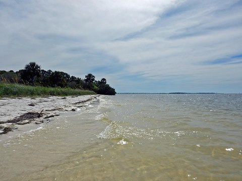
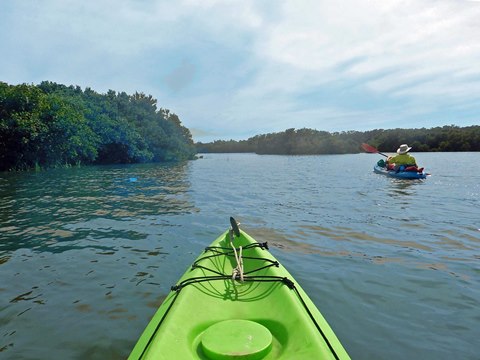
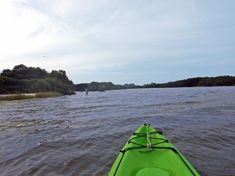
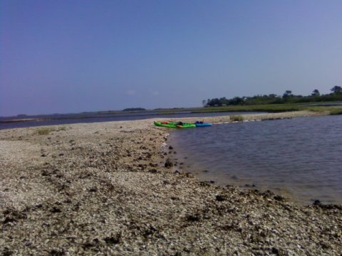
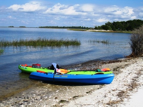
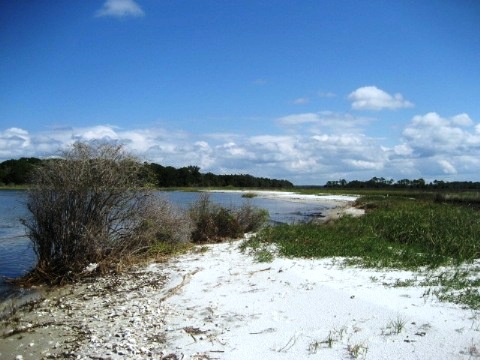
On this trip, we kayaked to the white sand point on the northwest corner of Atsena Otie (see map). Looking south is the old tour dock (destroyed by hurricanes). Beach Tip: fewer insects on the point (breezier, further from mangrove) than within the adjacent and very scenic white sand cove, where most paddlers are initially drawn. The tide was high with some breeze, so we decided to check out the wind-sheltered, mangrove-lined interior of the island, otherwise impassable at low tide. After some twists and turns, we emerged on the south side, rounded the island going past the former tour dock (a bird haven now), past the sand point again, and back to Cedar Key, 3.5 miles round-trip.
Atsena Otie Key was the site of the first town in the Cedar Keys; a mill here provided wood for Eberhard Faber pencils, until leveled by the Hurricane of 1896.
To Atsena Otie Key

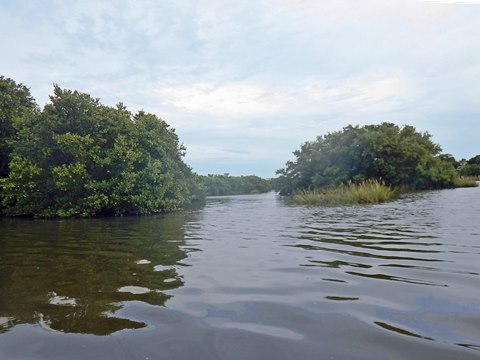
On the Bayous
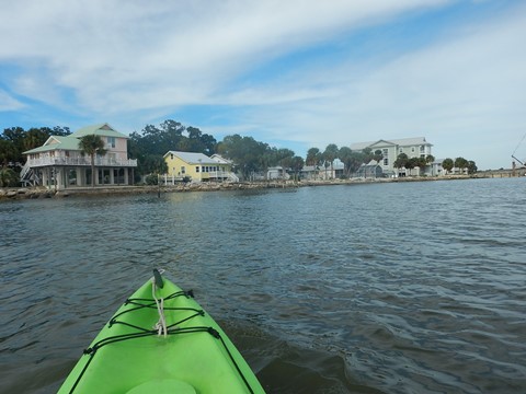
We also enjoy kayaking on the more protected bayous around Cedar Key - watching wildlife, exploring coves, picnicking on a sandbar (depending on tides). There are many routes throughout the bayous, here are just a couple.
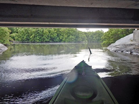
Gulfside to Back Bayou
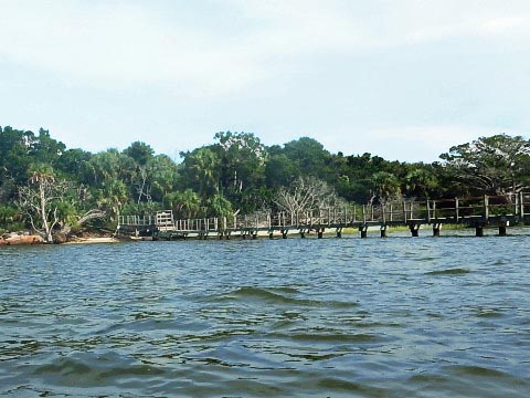
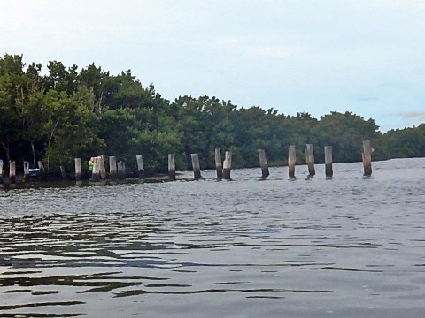
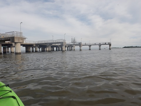
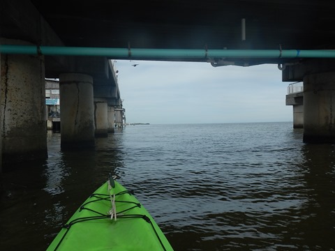
We wanted to see the working docks of old town, and were long curious about tiny "Back Bayou," a glimpse of which can be seen when entering and exiting the main island. An easy launch is at City Park Beach. From here, paddle along the shoreline (away from town) past the condos, and turn left into the bayou. (On this late afternoon, we launched from a small beach in front of the condos.) This route winds past the remains of the old railroad trestle, past mangrove islands, behind the old docks, then under SR24 into "Back Bayou." What's back there? Sadly, not a good hideaway for us pirates. Just a short mangrove-lined creek, with only one way in and out. Wind-sheltered, a few birds, but mostly impassable at low tide. We can now recommend paddling under SR24 at the next bridge up (channel #2) as a better option.
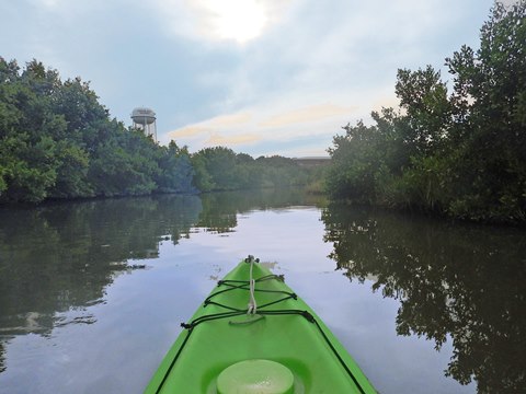
Launch along G Street to Airport/Gulf
From along G Street, follow the shoreline as you cross Daughtry Bayou and go under the bridge along Airport Road. Follow the channel. From here, some homes line the shore as you wind past the small airport, then exit onto the Gulf. Just beyond the airport are a few sandbars, at low tide are sandbars where we stopped - but watch for the oyster shells!
Views of Cedar Key... by Land and Water
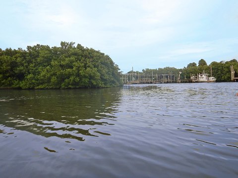
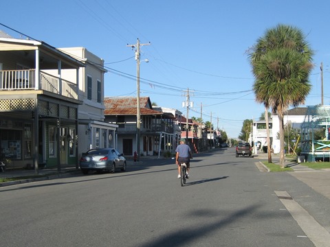
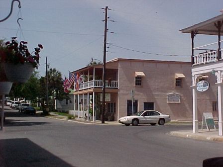
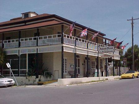
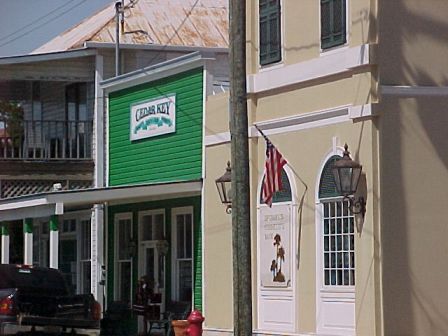
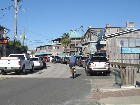
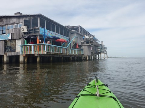
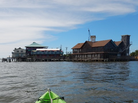
"Downtown" Cedar Key
Visit the funky old downtown and its wooden buildings, the Island Hotel (1859, National Register of Historical Buildings) restaurant, bar and lobby, the Cedar Key Historical Museum, plus restaurants, art galleries and gift shops. Dock Street features an assortment of restaurants and shops.
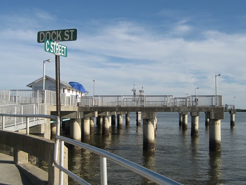
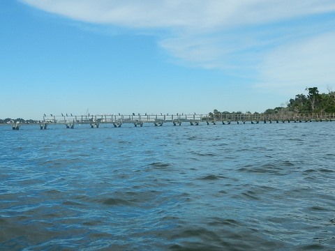
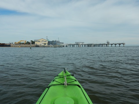
Paddling along Dock St.
Paddling along the shoreline, past the Cedar Key Fishing Pier and along Dock Street to the Marina. Note: If / when paddling under the pier, watch for fishing lines! We recommend going around instead of under on weekends.
Nearby Kayaking Options... including Freshwater(!)
Lower Suwannee National Wildlife Refuge...
Shell Mound and Hog Island
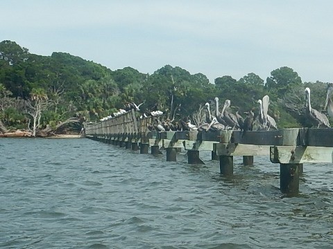
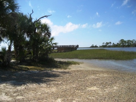
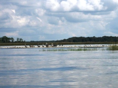
Hog Island is located along the Gulf within the Refuge, directly across from the Shell Mound Visitors Area, which features a 6000-year-old archaeological site, hiking trail, fishing pier, restroom, boat launch, and a campground just up the road. Shell Mound is about 6 miles northwest of Cedar Key by open water (great for sea kayakers), or about 9 miles by road (best for us). We started at the unpaved, hard-pack boat launch and paddled around Hog Island and some nearby sandbars and flats. Other than the Visitors Area and a small portion of Hog Island fronting the Gulf (where we stopped), nearly all of the surrounding Refuge is closed to the public (no landing or disturbing plants and birds).
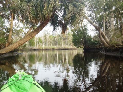
Some Wind-Sheltered, Freshwater Paddling...
Waccasassa River - Wekiva River - Otter Creek
All three paddling options are accessed from one boat launch, located at Waccasassa River Park. (At Gulf Hammock, off US 98/19, go south on CR 326, ending at the Park.) After kayaking the open waters around Cedar Key for a few days, the sheltered, mostly freshwater paddling here is a nice change of pace (see Overview page). The Waccasassa River and the small, spring-fed Wekiva River (Levy County, not to be confused with the Wekiva River near Orlando), along with Otter Creek offer a remote paddling experience, very peaceful, with few if any paddlers or other boaters.
More Information and Resources
Nearby Paddling:
Waccasassa / Wekiva / Otter Creek Overview
- Waccasassa River
- Little Wekiva River
- Otter Creek
See FL North Region for more paddling
Nearby Biking:
Cedar Key by Bicycle
Lower Suwannee
National Wildlife Refuge (eco-biking)
Related Resources:
Cedar Key Chamber
of Commerce
Cedar Key
Historical Museum
Florida State Parks - Cedar Key Museum State Park
View great paddling by FL Region or Listed A - Z

PaddleFlorida.net... Find Florida's Best Recreational Paddling,
by Kayak, Canoe, and Paddleboard too.
Copyright © PaddleFlorida.net. All Rights Reserved. Paddle Florida®