Paddle Florida®
Over 100 Florida Paddling Destinations
E-Z Maps... Photos... Reports...
You are here > Home >
Florida Panhandle >
Apalachicola Bay at SGI
Trip report: May 2016
Kayaking on Apalachicola Bay...
at St. George Island State Park
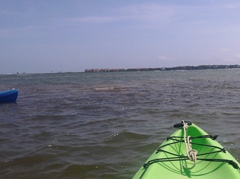
The Apalachicola Bay System, in the Florida Panhandle, covers about 208 square miles. It's separated from the Gulf of Mexico by four islands (St. Vincent Island, Cape St. George Island, St. George Island, and Dog Island). St. George Island is the only one accessible by car. Here, we paddled from St. George Island State Park. (Detailed map and photos below)
Distance: Varies
Location: Franklin County
Difficulty: Easy to moderate
Tidal: Yes
Launch points: St. George Island State Park (See map)
Nearby points of interest: Town of Apalachicola, St. George Island State Park, St. George Island Lighthouse
Rentals/Outfitters/Tours:
St. George
Island State Park (rentals, ask at entrance)
Island Outfitters
(rentals)
Journeys of SGI
(rentals, tours)
Support and Advocacy:
Page Summary:
- Paddling on Apalachicola Bay
- SGI State Park Launches
- Paddling at East Cove on Apalachicola Bay - Information About the Area
- About St. George Island State Park
- About St. George Island
- About Apalachicola Bay - More Information and Resources
Paddling on Apalachicola Bay... Comments and Photos
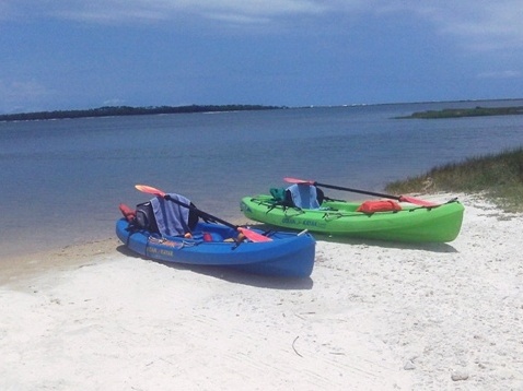
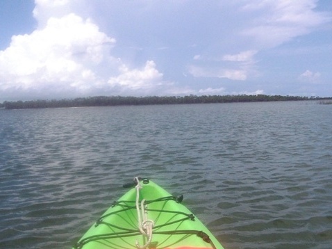
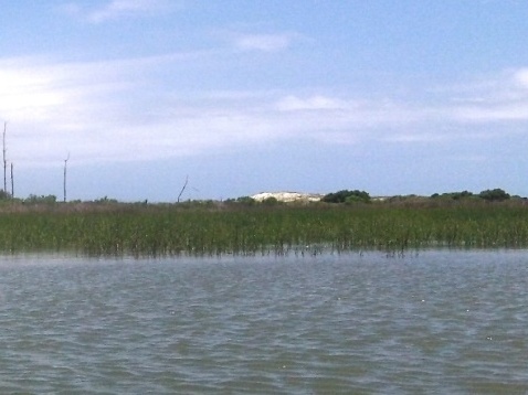
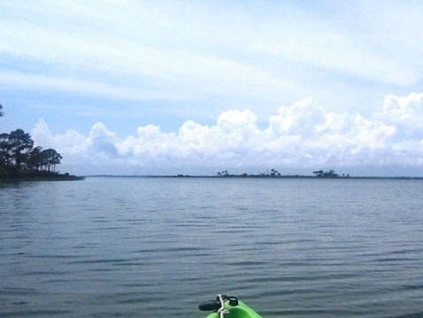
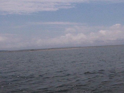
On open water like this, wind speed and direction are key. On this sunny day, with moderate wind out of the east, we enjoyed calm water by staying close to the shoreline and cove. Longer distances on the open Bay or Gulf are best for groups or experienced paddlers, typically in faster sea kayaks.
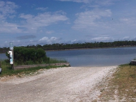
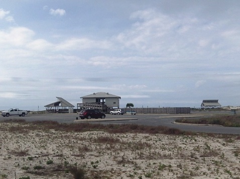
SGI State Park Launches
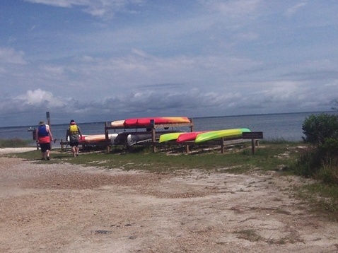
There are two launches within the Park. The hardened ramp at East Slough is used mostly by small power boats. We launched from the sand beach at Youth Camp. Hand launch, easy on and off. A short walk to parking. Rentals are located here. Ask at Park entrance. For added adventure, local outfitters offer longer kayaking tours.
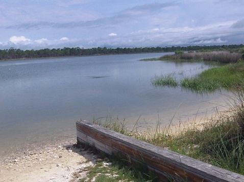
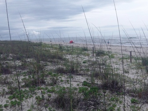
Paddling at East Cove on Apalachicola Bay
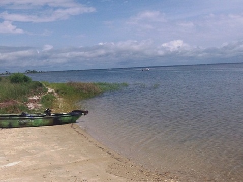
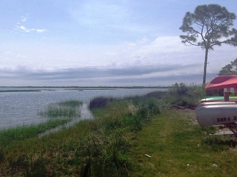
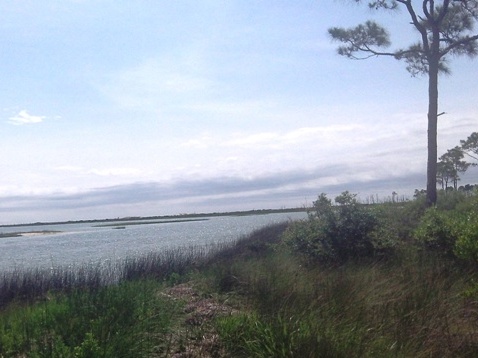
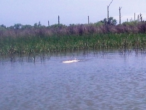
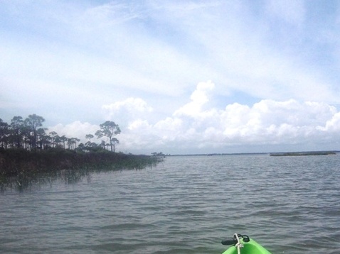
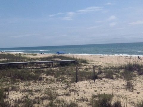
From Youth Camp, we paddled East Cove - East Slough to the east, and Rattlesnake Point to the west. The water was clear, much is shallow flats. Fishing and wildlife viewing are popular. We spotted numerous redfish. Offering some shelter from the wind, we feel this area offers the best recreational paddling on Apalachicola Bay.
Information About the Area
About St. George Island State Park
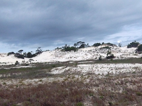
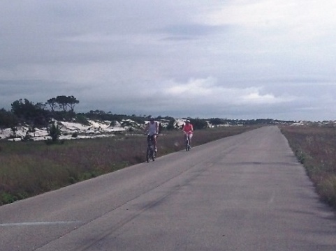
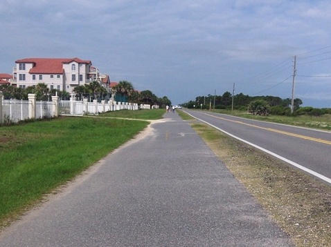
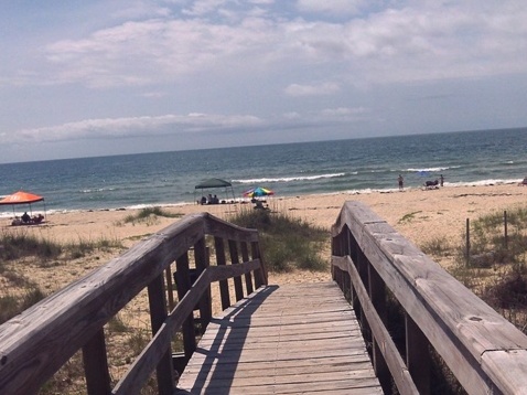
St. George Island State Park comprises about one-third of the Island. The Park offers beaches, playgrounds, pavilions, restrooms, hiking, camping... and sand dune "mountains." Park roads are good for biking, plus there's a 5-mile, paved nature ride on the Island's eastern end (permit required).

About St. George Island
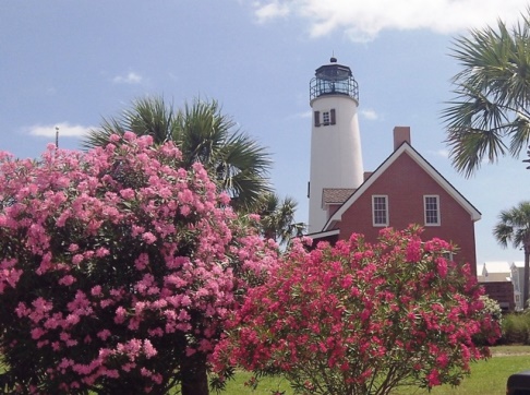
St. George Island is a 22 mile long barrier island, with plenty to explore. A 6-mile paved bike trail (link below) provides easy access to the island's famous beaches. The St. George Lighthouse is a notable feature. On the western side is the Cape St. George State Reserve (by boat only).
About Apalachicola Bay
Apalachicola Bay in good years produces 90% of the oysters in Florida (12% of all in the U.S.), but water quality and the industry are under attack from increasing salinity caused by factors such as drought, agricultural water usage, and domestic and industrial water usage along the rivers feeding the Bay (Apalachicola, Flint and Chattahoochee Rivers).
More Information and Resources
Nearby paddling:
Apalachicola River Wildlife and Environmental Area
See FL Panhandle Region
for more paddling
Nearby Biking:
Related Resources:
Florida State Parks - Dr. Julian G. Bruce St. George Island State Park
Florida Dept. of Environmental Protection - Apalachicola
Bay Aquatic Preserve
View great paddling by FL Region or Listed A - Z

PaddleFlorida.net... Find Florida's Best Recreational Paddling,
by Kayak, Canoe, and Paddleboard too.
Copyright © PaddleFlorida.net. All Rights Reserved. Paddle Florida®