Paddle Florida®
Over 100 Florida Paddling Destinations
E-Z Maps... Photos... Reports...
You are here > Home >
South Florida >
Great Calusa Blueway >
Caloosahatchee River
Latest update: December 2019
Caloosahatchee River...
Part of Great Calusa Blueway... Under Restoration
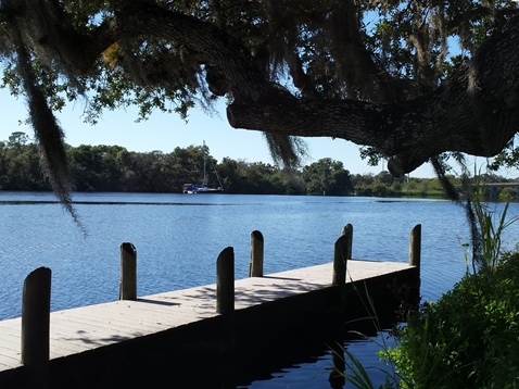
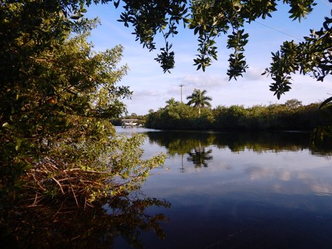
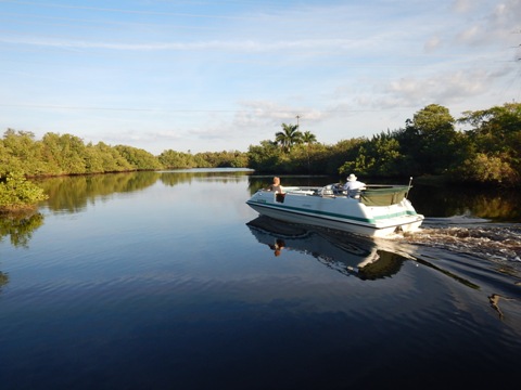
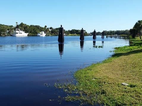
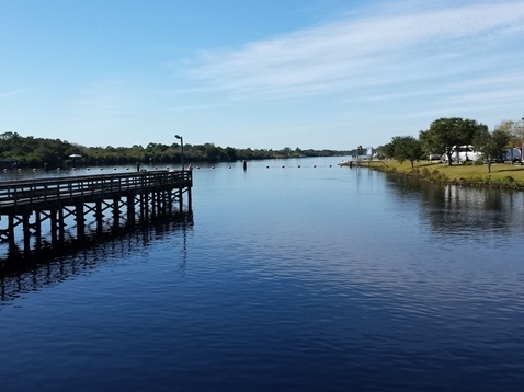
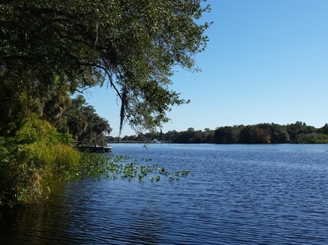
The Caloosahatchee River goes from the Gulf of Mexico near Ft. Myers, FL to the Okeechobee Canal at Moore Haven. A portion of the waterway from the Gulf to Alva is included as part of the Great Calusa Blueway. Wider with more development near Ft. Myers and the Gulf, the river gradually narrows to about 500 feet (still "big water" to us, little shelter from wind) and it becomes more rural east of I-75. The Caloosahatchee is popular with fisherman. On weekends especially, it can be busy with powerboats. For recreational kayakers and canoeists, the River is used mainly to access other paddling options on more sheltered tributaries such as Orange River, Telegraph Creek, Hickey Creek, and Bedman Creek. (Detailed map, photos below.)
Distance: About 33 miles from mouth of the river to Alva; 67
miles total to Lake Okeechobee
Location: Lee and Hendry Counties
Difficulty: Easy to moderate
Tidal: Yes, more as it approaches the Gulf
Launch points: Manatee Park, W.P. Franklin Lock campground,
W.P. Franklin Lock South Recreation Area, Caloosahatchee Regional Park,
Alva Boat Ramp (See map)
Nearby points of interest: Edison and Ford Winter Estates,
Sanibel and Captiva Islands
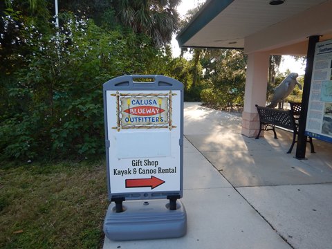
Rentals/Outfitters/Tours:
Manatee Kayaking Company (rentals,
tours)
Caloosahatchee Regional Park
(rentals)
Nauti Exposures
(guided eco-tours)
Support and Advocacy:
Page Summary:
- Caloosahatchee River Launches
- Manatee Park
- W.P. Franklin Lock North Campground
- W.P. Franklin Lock South Recreation Area
- Caloosahatchee Regional Park
- Alva Boat Ramp - Caloosahatchee River at Ft. Myers
- About the Caloosahatchee River
- More Information and Resources
Caloosahatchee River Launches - from West to East
These launches serve a section of the Caloosahatchee River system and its tributaries included on the Great Calusa Blueway. Kayakers and canoeists use them primarily to get to the smaller, more inviting tributaries. Note: have you noticed "Caloosa" and "Calusa" and asked why two spellings? See the full answer at the bottom of our Calusa Blueway Overview page.
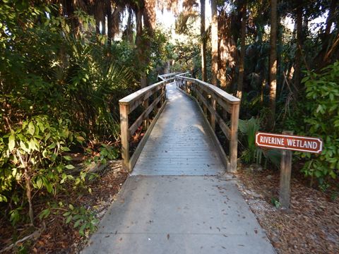
Manatee Park
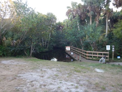
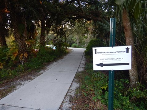
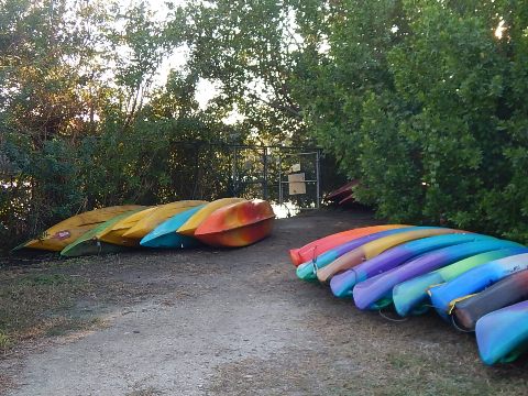
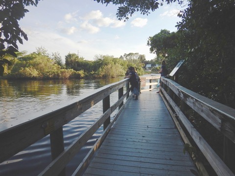
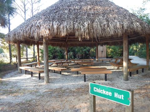
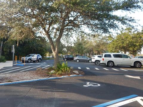
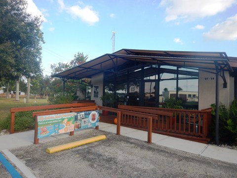
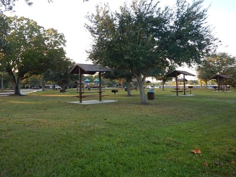
The Park entrance is off SR 80 (south side of Caloosahatchee), about 1.3 miles east of I-75. The Park is situated along a canal leading to the Orange River. By water, it's slightly under 2 miles to the Caloosahatchee River. Manatee viewing is the main attraction here, best by far during the winter months - drawn by the warm water discharged from a wide canal leading to a FPL Power Plant. There are 2 launches; with your own craft, both involve a carry/wheels. A public launch (short carry) is on a small creek leading to the river (may be closed during low water). The other launch (long carry) is along the Orange River, primarily for on-site rentals; kayaks, paddleboards, and canoes. The Park has parking, restrooms, gift shop, viewing pier, picnic facilities, playground, and a butterfly garden. (Fee parking.) Summary: great for seasonal manatee viewing, some boat traffic ("No Wake Zone" helps) and shoreline development are not ideal, but it is one of the better wind-sheltered paddling options along the Blueway.
More information: Lee County-Manatee Park
Manatee Park Launches
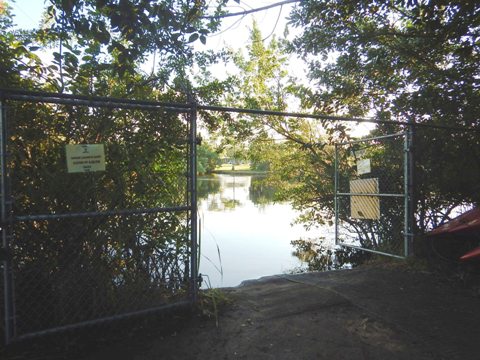
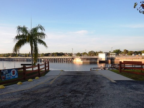
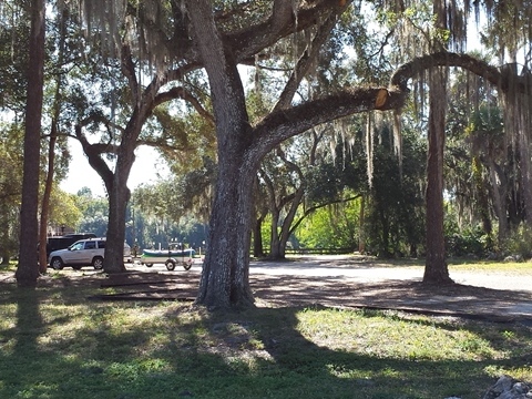
W.P. Franklin Lock North Campground
The Campground entrance is off SR 78 (north side of Caloosahatchee). A short causeway leads to a compact (former) oxbow island with camping, restrooms, and launch. Many palm trees give it a tropical feel. The paved public launch is on the upriver (east) side of the dam, so it is often used to reach Hickey Creek, across and about 1.5 miles upriver. No fee, but parking may be scarce. This is Army Corps of Engineers facility, popular for camping and fishing - all the campsites have a water view (fee for camping).
More information: US Army Corps of Engineers-WP Franklin North
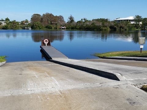
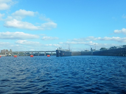
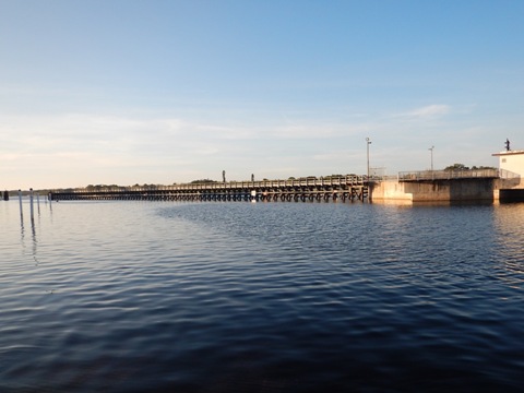
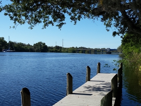
W.P. Franklin Lock South Recreation Area
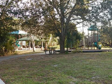
The Recreational Area entrance is off SR 80 (south side of Caloosahatchee), next to the WP Franklin Lock and Dam, across the river from the Campground. The launch (no fee) is on the down river (west) side of the dam. For paddlers, this is the launch used to reach Telegraph Creek, across and about 0.8 miles down river, coming in at a sharp angle. The paved ramp is narrow and can be tricky with a trailer, but there's an easy hand-launch from a sandy area next to the ramp. An Army Corps of Engineers facility, the Recreation Area has parking, restrooms, picnic, playground and a Visitor Center. Watch the boats navigate through the lock; tours are available.
More information: WP Franklin South Recreation Area
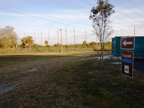
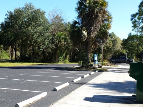
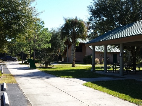
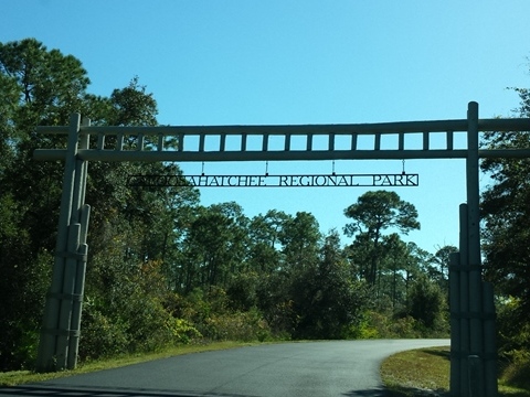
Caloosahatchee Regional Park
Located on the north side of the River off SR 78. Kayak rentals available. However, when bringing your own watercraft, it's a very long carry to the launch. Therefore, other than for rentals, we don't recommend this launch as a practical starting point; good for landing along the river, or for camping. The Park includes parking, restrooms, picnic, camping; also, hiking, mountain biking and equestrian trails. Parking fee applies.
More information: Lee County-Caloosahatchee Regional Park
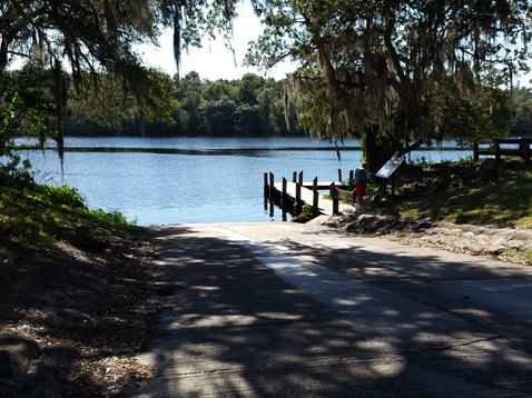
Alva Boat Ramp
Located on the north side of the River off SR 78. Easy on and off, almost directly across from the launch is an oxbow and Bedman Creek. Pleasant "old Florida" feel. Parking and restrooms. Parking fee applies.
More information: Lee County-Alva Boat Ramp
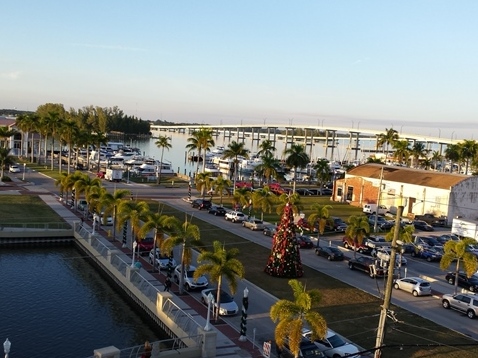
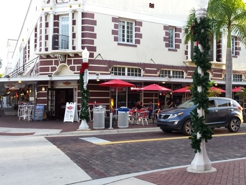
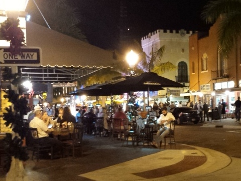
Caloosahatchee River at Ft. Myers
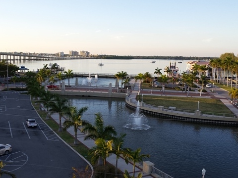
Ft. Myers is doing a great job rehabilitating its River District with shops, restaurants and entertainment, incorporating the Caloosahatchee River into its vision.
About the Caloosahatchee River
The Caloosahatchee River comprises the western section of the Okeechobee Waterway, which continues to the Atlantic Ocean at Stuart. The river was dredged and straightened (and unceremoniously named C-43), with dams and locks added, as part of the Waterway initiative from the 1930s to the 1950s. Today, efforts to improve and restore the river are underway. Oxbows are remnants of the original course, and are popular for paddling off the main channel. Water levels can be affected by releases from Lake Okeechobee.
More Information and Resources
Nearby Paddling:
Great Calusa Blueway Overview
- more paddling options along the Blueway
See FL South Region
for more paddling
Related Resources:
Ft. Myers Visitor & Convention Bureau - Caloosahatchee River
View great paddling by FL Region or Listed A - Z

PaddleFlorida.net... Find Florida's Best Recreational Paddling,
by Kayak, Canoe, and Paddleboard too.
Copyright © PaddleFlorida.net. All Rights Reserved. Paddle Florida®